
Tree Health and Quality Assessment with LiDAR
TREE HEALTH AND QUALITY ASSESSMENT WITH LIDAR
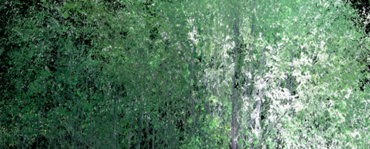
Research using ground-based LiDAR for precision tree structure characterization and analytical framework to assess quality and health of hardwoods using LiDAR data.
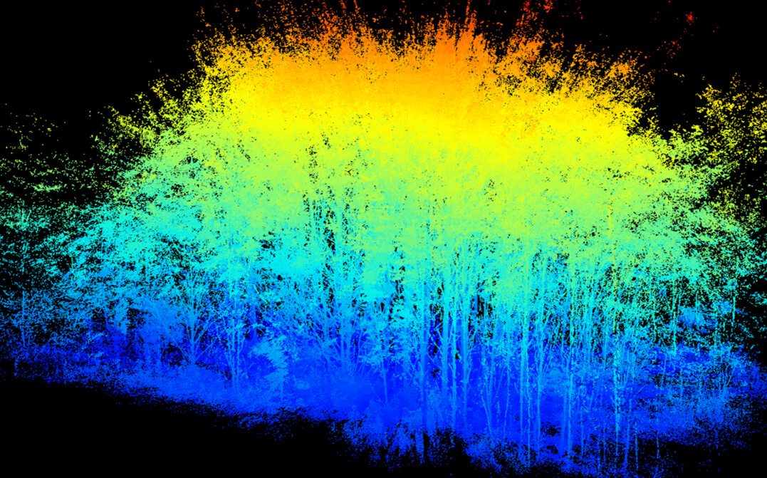 3D point cloud composed of 12 million individual data points acquired with a single scan using terrestrial LiDAR system (TLS) in the center of a mixed species planted stand at Martell Forest. Warmer colors correspond to taller portions of the canopy.
 Principal Investigators
Brady Hardiman | Assistant Professor of Urban Ecology
Songlin Fei | Professor and Dean’s Chair of Remote Sensing
Collaborators
Ayman Habib | Thomas A. Page Professor of Civil Engineering, Purdue University
Joey Gallion | Forestry Inventory Program Manager, Indiana Department of Natural Resources
Gord McNickle | Assistant Professor of Botany and Plant Pathology, Purdue University
OBJECTIVES
Develop a suite of tools including affordable, off-the-shelf TLS (terrestrial LiDAR systems) hardware and user-friendly analytical software that will ingest TLS data and output metrics of stand inventory and tree quality and health that are of interest and utility to both researchers and industry professionals.
Watch a webinar with Purdue experts talking about terrestrial remote sensing developments and applications in digital forestry.