
ADVANCING FORESTRY THROUGH DIGITAL INNOVATION
Led by Songlin Fei, professor and the Dean's Remote Sensing Chair, the Institute for Digital Forestry at Purdue University is leveraging digital technology and multidisciplinary expertise to measure, monitor and manage urban and rural forests to maximize social, economic and ecological benefits.
Our multidisciplinary research team is developing digital platforms and strategies that will revolutionize forestry and build a globally competitive next generation workforce for the information age.

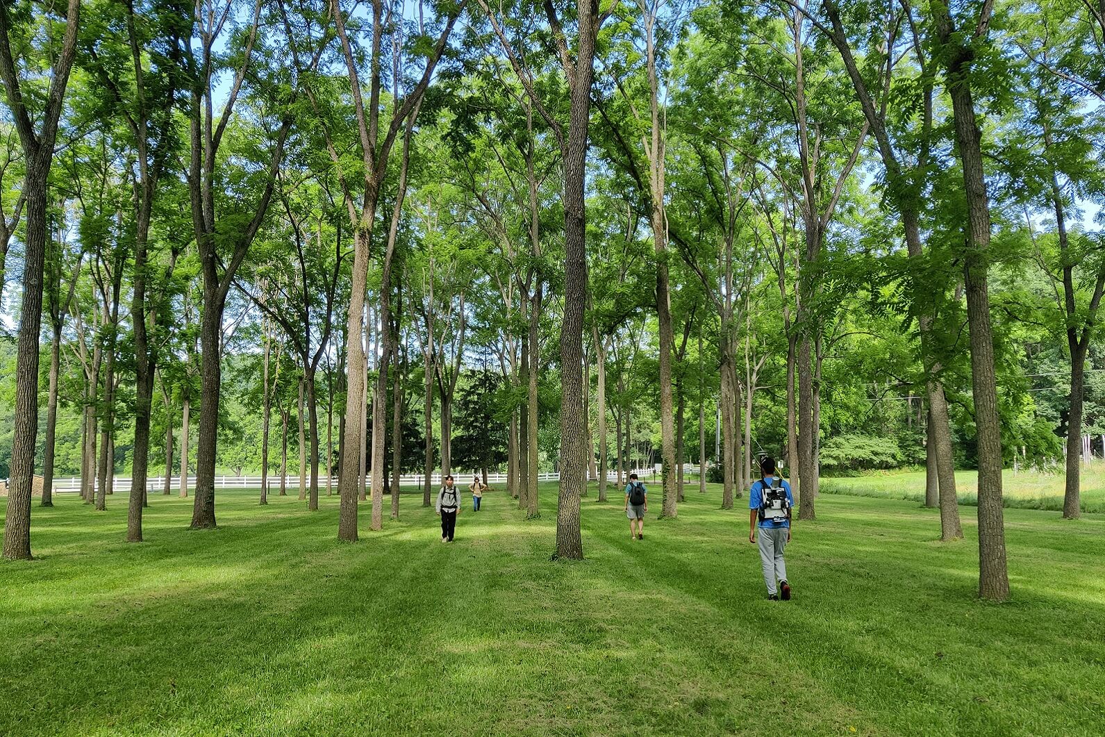
Whether we are in a forest or at a computer, our team is working collaboratively toward the same goal: To measure every tree on the planet so that we can make a difference in sustaining forests, communities and our future.
WHAT ARE WE DOING?
See how our work is impacting the world.
GET INVOLVED
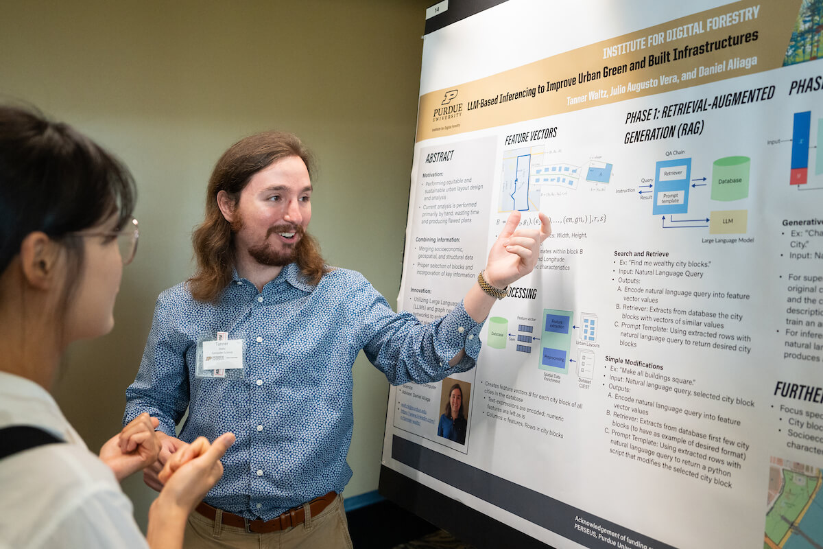
STUDENTS
Looking for more information on student opportunities?
PARTNERS
Interested in working with the institute and its researchers?
Join the movement to measure every tree
We would love the opportunity to connect with you.