Projects

PROJECTS
Data science and digital technologies are advancing our understanding of complex natural systems and improving the sustainability and resilience of our forests.
The Institute for Digital Forestry has a variety of on-going research projects. Researchers from agriculture, engineering, computer science, aviation technology, information science and other disciplines are using remote sensing, big data and artificial intelligence methods to better measure, monitor and manage forests of all sizes.


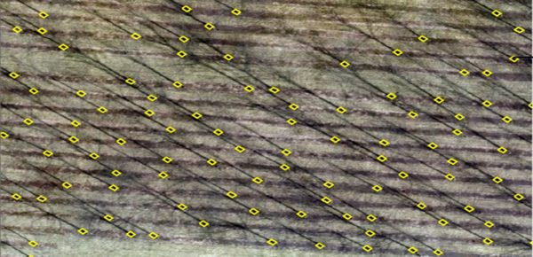
Tree Inventory with Aerial Remote Sensing*
Advancing methods to conduct tree inventory using LiDAR and UAS images. AI-assisted automation for individual tree recognition and delineation and remote measurement of biometrics (size, biomass) in planted and natural forests.
LEARN MORE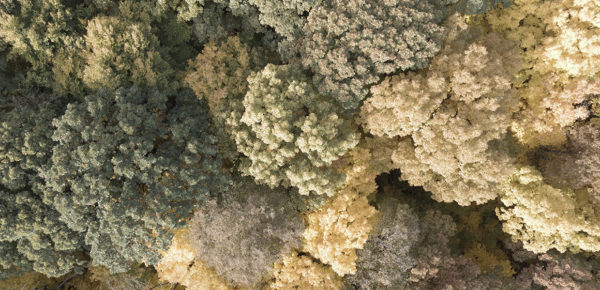
Stress Epidemiology*
Detecting and tracking pests, insects and pathogens with machine learning on multi-temporal data and to monitor drought systems with multi-sensor platforms.
LEARN MORE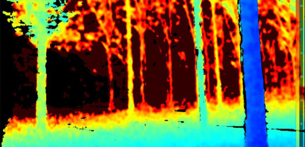
Automated Tree Inventory with Photogrammetry*
Working to speed up automated tree measurement, using Low-cost Optical Gauging System (LOGS) with stereo cameras and machine learning.
LEARN MORE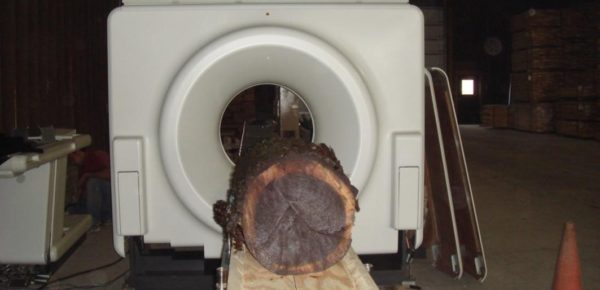
Precision Management*
Using geo-referenced and image-assisted biometric evaluation for precision tree growth and yield monitoring of lumber and logs.
LEARN MORE
Tree Health and Quality Assessment with LiDAR*
Using ground-based LiDAR for precision tree structure characterization and analytical framework to assess quality and health of hardwoods using LiDAR data.
LEARN MORE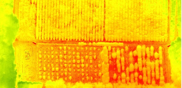
UAS Disturbance Detection*
Using feature-based high-resolution classification on multi-temporal data for planned and unplanned disturbance, including fire, wind-throw and logging.
LEARN MORE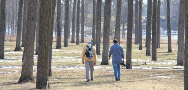
Terrestrial Mobile LiDAR for High Resolution Forest Inventory*
Developing a backpack terrestrial platform and algorithms for fine-detail, automated measurements and trait characterization of forest plantations.
LEARN MORE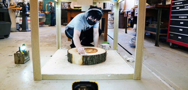
Wood and Bark ID
Developing an annotated bark image bank of hardwood trees in the Central Hardwood region and an AI algorithm and smartphone app for bark-based tree species recognition and identification.
LEARN MORE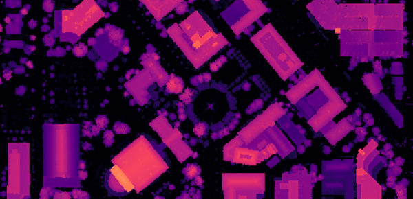
Urban Forest Inventory Using Artificial Intelligence
Identifying urban trees and quantifying their ecosystem services by developing AI algorithms that analyze remotely sensed data for major cities in Indiana.
LEARN MORE