
UAS Disturbance Detection
UAS DISTURBANCE DETECTION
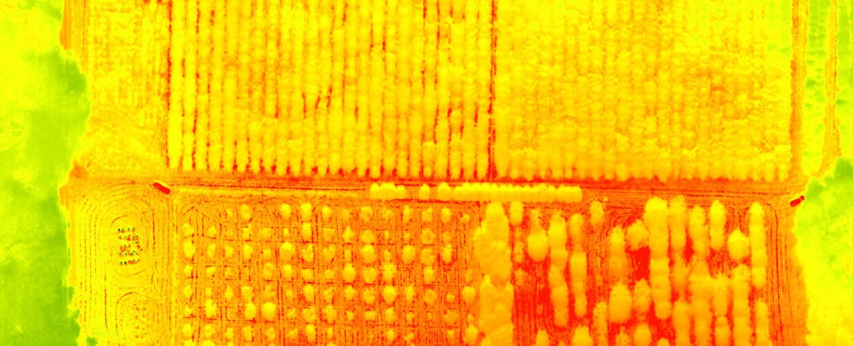
Research using feature-based high-resolution classification on multi-temporal data for planned and unplanned disturbance, including fire, wind-throw, and logging.
Principal Investigators
Joseph P. Hupy | Associate Professor in the School of Aviation, Purdue University
Songlin Fei | Professor and Dean’s Chair of Remote Sensing
OBJECTIVES
Research using feature-based high-resolution classification on multi-temporal data for planned and unplanned disturbance, including fire, wind-throw, and logging.
- Develop standardized data collection methods with UAS platforms prior to and after planned disturbance events such as timber harvest and controlled burns. This data collection will occur over several timber stands over a 3-year period, resulting in a robust data set for further analysis.
- Develop feature-based classification methods using UAS imagery for rapid and accurate classification of fire disturbance, vegetation cover, and harvest treatment intensities. Classification and quantification of results will be verified through ground truthing.
- Work directly with forest professionals, managers, and other stakeholders to best gather and disseminate data sets that reflect a wide diversity of planned disturbances over an equally diverse type of forest stands