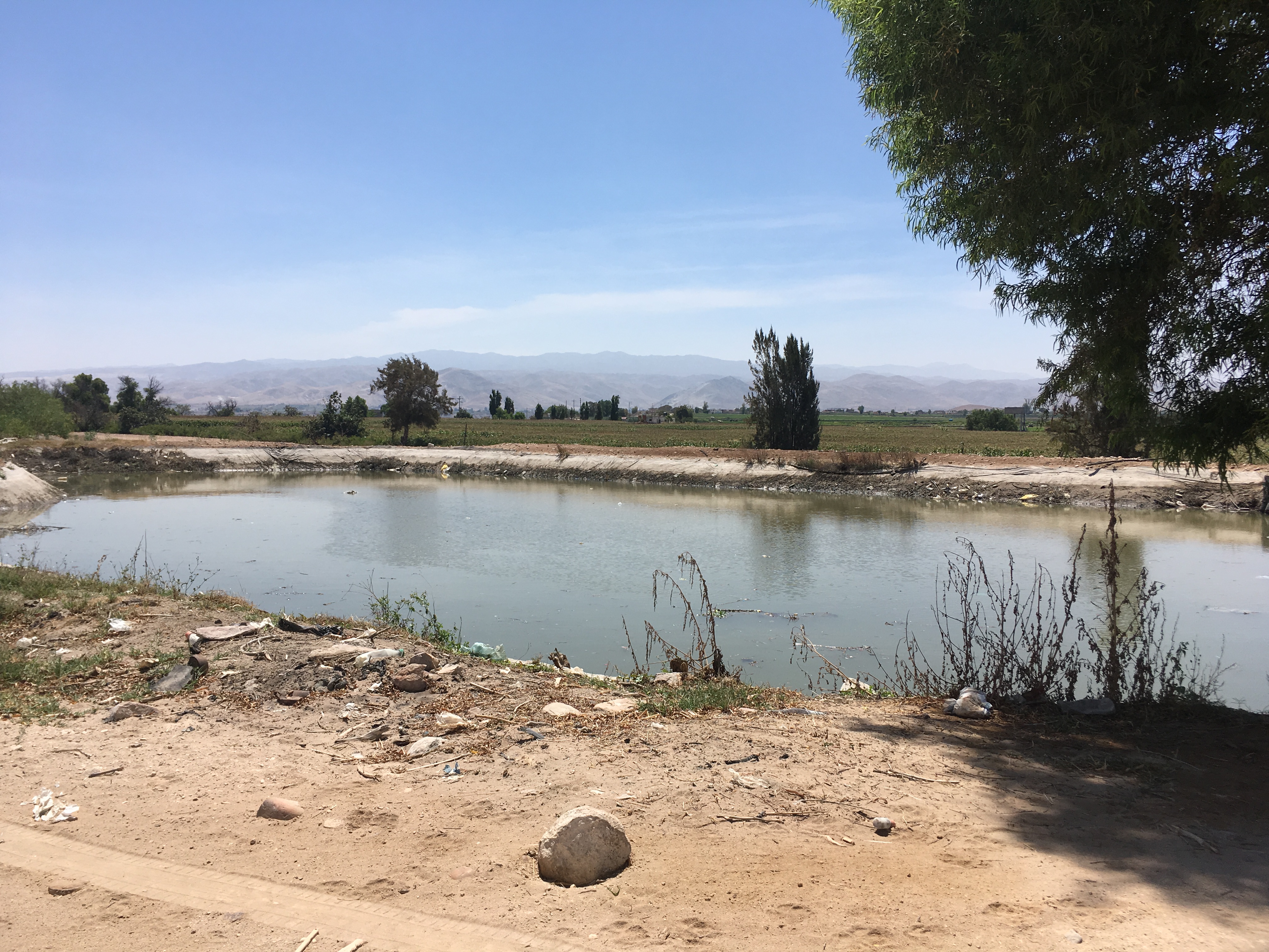
Irrigation in Arequipa
The region of Arequipa is very near to the Atacama Desert, making it part of one of the driest areas in the world. Glacial melt and a rainy season in the high elevations provide a limited water supply that is spread across populational, agricultural, and industrial use. Traditional agriculture in the region has utilized flood irrigation, and though some areas have abandoned these methods in favor of more efficient sprinkler and drip irrigation, flood irrigation is still used in many areas. Additionally, many farmers irrigate based on water allocated rather than crop needs, which has led to overirrigation and problems associated with it. Post-doc Jingqiu Chen has been running simulations using CropWat to support the creation of several tools to support irrigation management.
Crop Mix Planning Tool

Crop Water Use Tool
Throughout Arequipa, many farmers base their irrigation needs on observational or empirical methods. The Crop Water Use Tool mobile phone application was created to help farmers understand how much specific crops need at varying growth stages. With the use of this tool, it will be easier to limit overirrigation and more efficiently use precious water resources. The SWM team has also developed several fact sheets on irrigation best practices in Majes and the Colca Valley.
Crop Monitoring Tool
Purdue University, 610 Purdue Mall, West Lafayette, IN 47907, (765) 494-4600
© 2020 Purdue University | An equal access/equal opportunity university | Copyright Complaints | Maintained by the Sustainable Water Management team of The Nexus Institute
Trouble with this page? Disability-related accessibility issue? Please contact the SWM team using information on the Contact page.

