What's new with the SWM team?
Our Special Issue on Challenges and Opportunities of International University Partnerships to Support Water Management is now available in the Journal of Contemporary Water Research and Education. This issue includes eight articles that focus on confronting complex water resources challenges in regions where water is scarce, considering both environmental and social aspects. The needs for water-related research and the potential strategies for achieving collaborative research goals are examined at the university, regional, and community scales. Stay tuned for a follow-up article on environmental extension programming in an upcoming issue of JCWRE.
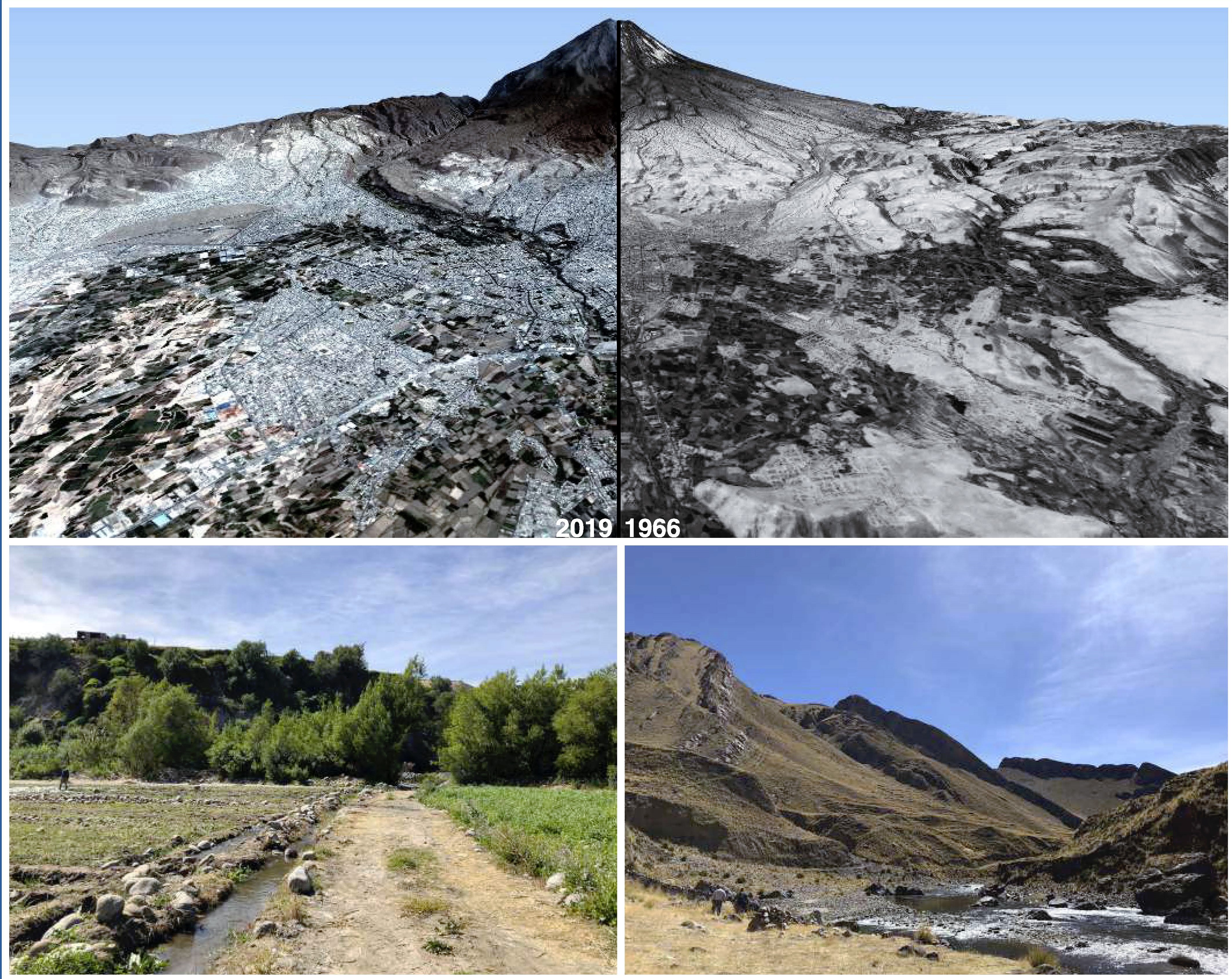
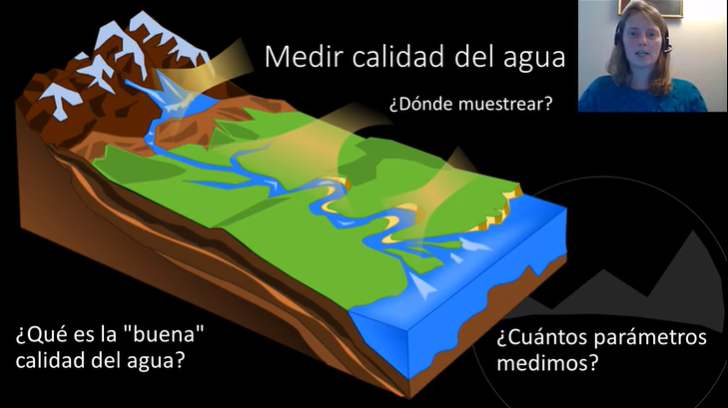
We have launched the Broadening Participation in Integrated Water Management in Arequipa workshop hosted by the Arerquipa Nexus Institute. This workshop is a fully virtual online course that addresses needs encountered during the co-production process in the region, both in planning with limited water-related data available and barriers in working with community groups as a part of integrated water management. Through a series of video lessons, participants develop strategies to better engage stakeholders in making important water management decisions in this water-scarce region. They are also being introduced to our decision-support tools that provide water-related data in places where they were not previously available.
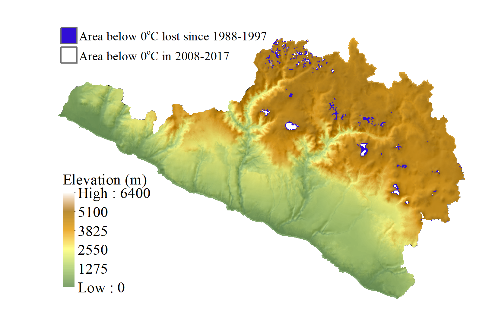
The SWM team has developed the Arequipa Climate Maps, a spatial climate dataset for the Arequipa Region and all watersheds that run through it. This high-resolution (1 km) dataset can be used for analysis of land ecosystem response to climate patterns, including hydrological, ecological, and natural resource studies. It will also be used as a baseline for bias correction and downscaling for future climate predictions.
Through interviews, focus groups, and surveys with communitities and agency personnel, the SWM team has developed eight decision support tools that can be used for water management planning in the Arequipa Region. Agency personnel and water managers can utilize models that have been used to fill in gaps of meteorological and streamflow data. Other tools provide simplified information for farmers and a general audience to aid in interpreting water-related information that can lead to more informed decision-making. Check them out on our tools page!


