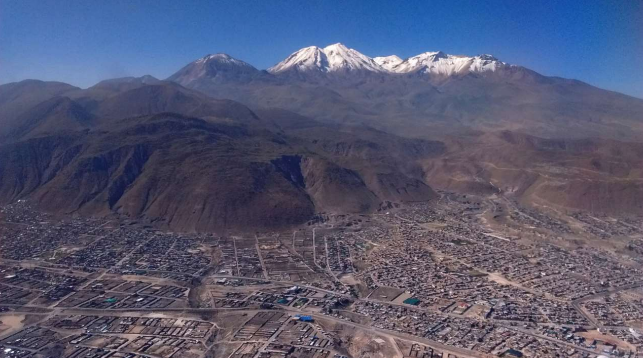
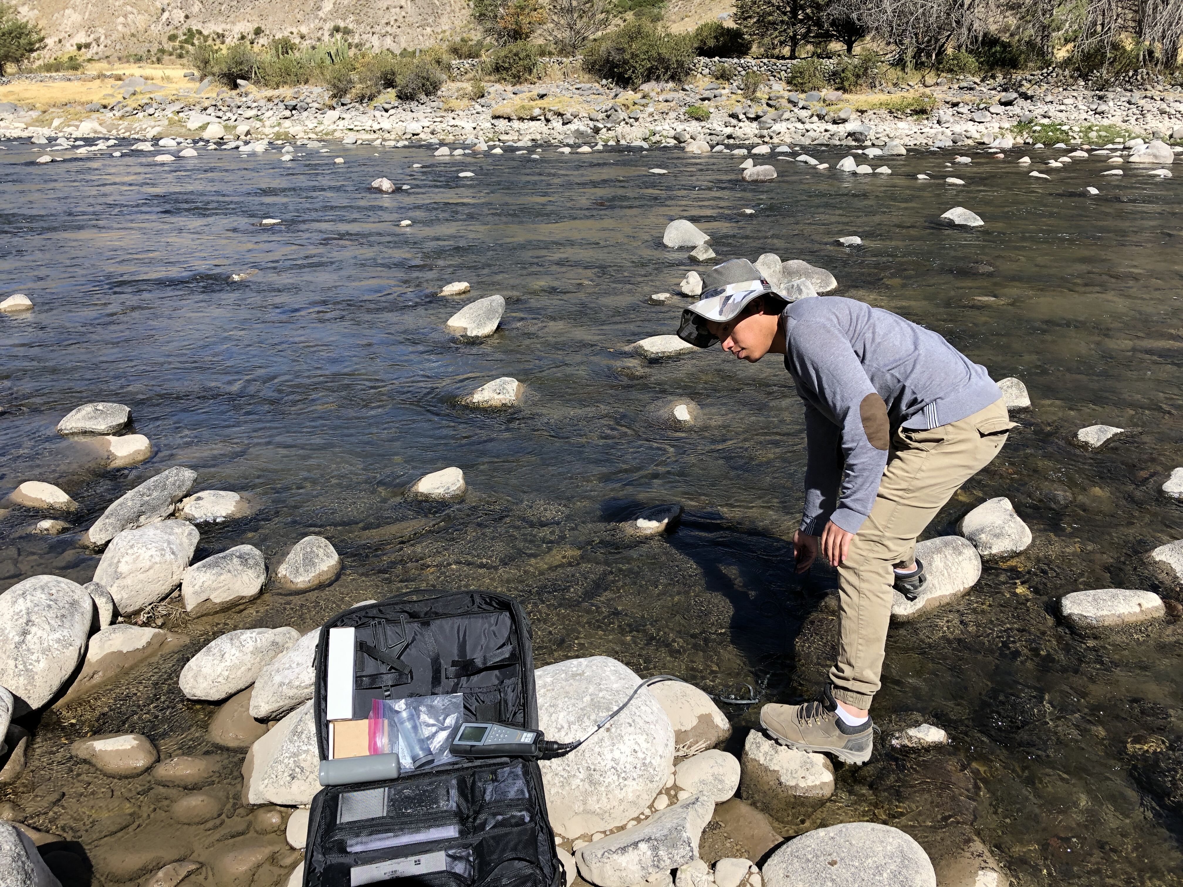
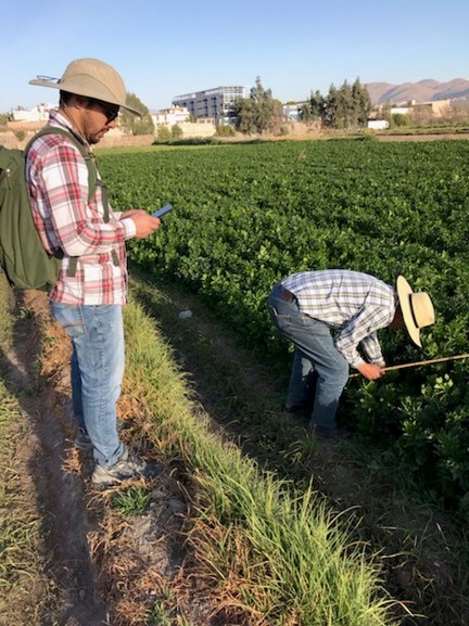
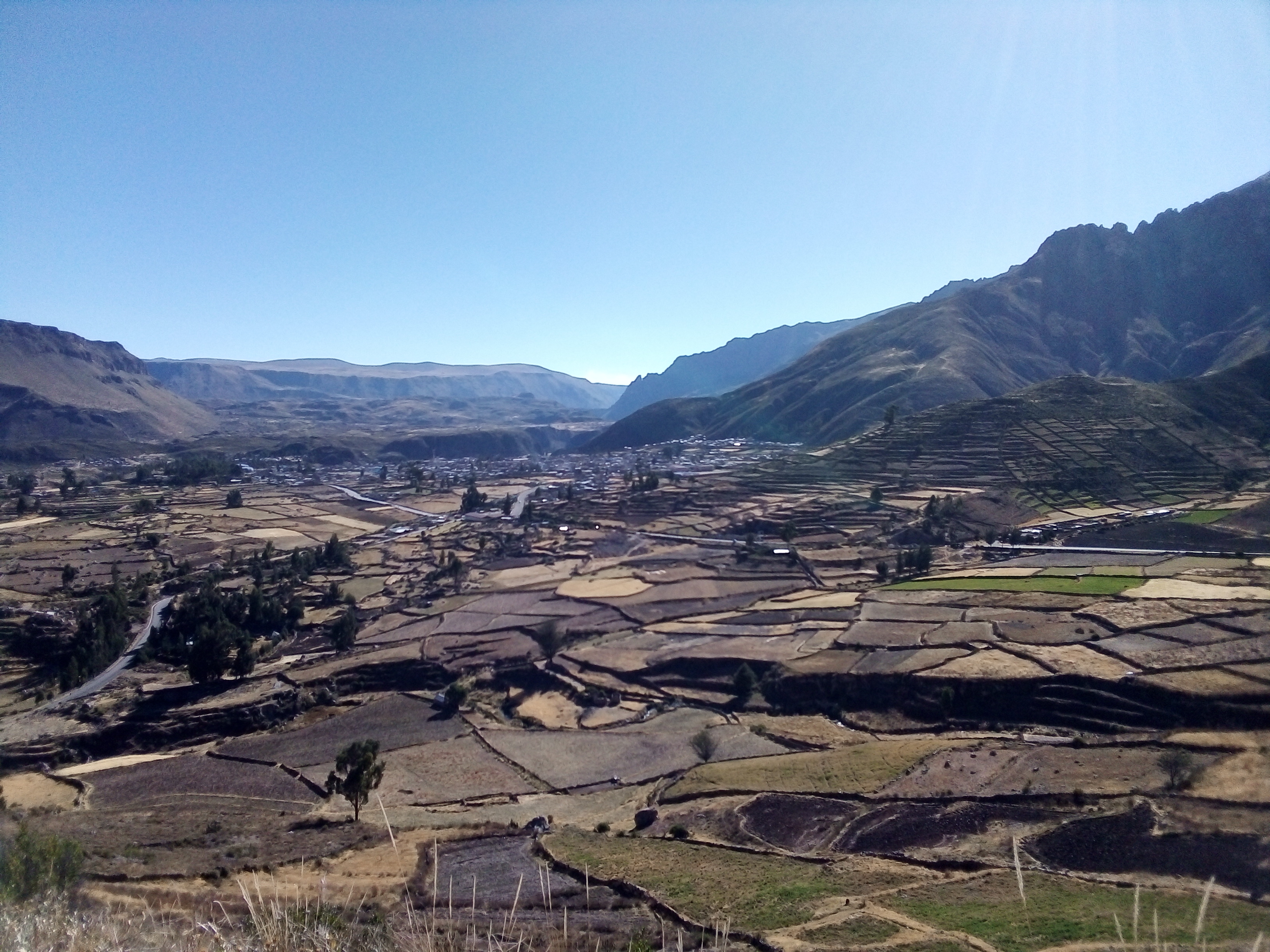
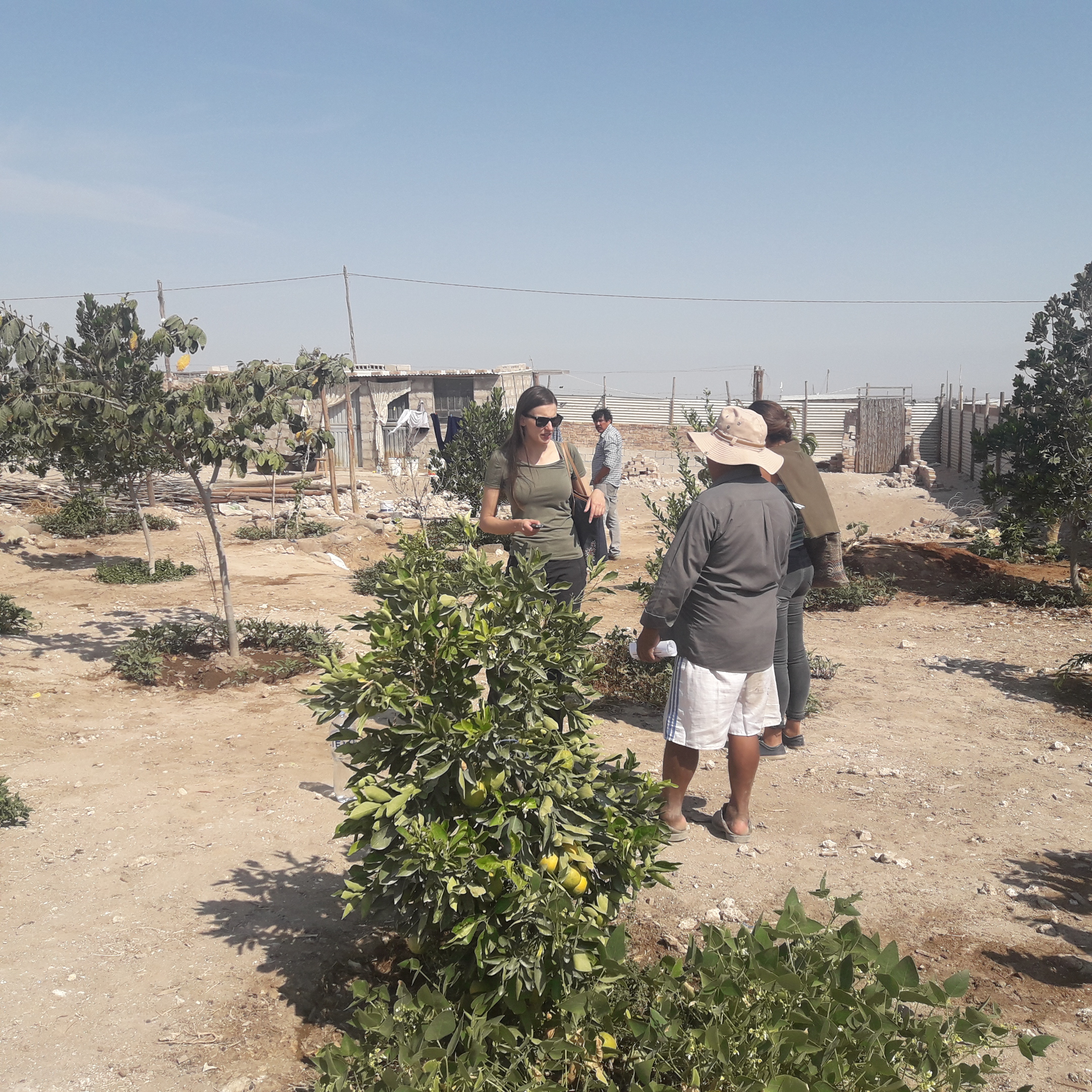
 Co-production is the process by which experts, in this case tool developers, and users work together to co-create products that are most useful, usable, and adapted to local needs. It includes expertise from both parties and a multistep process to achieve the desired output. A multidisciplinary team, led by Linda Prokopy and Edwin Bocardo, is working with stakeholders at both the regional and local levels to develop products to aid in water management decision-making. Communities involved in this effort include Pedregal, the Colca valley, and several municipalities in the city of Arequipa. These products span many expertises and provide a range of information for users for enhancing water management in a water-scarce region.
We identified the needs of community members and of personnel in various agencies in two phases. In Phase 1, SWM members conducted semi-structured interviews with community members and agency personnel in the Arequipa department of Peru. Interviewees were asked about water and crop management in their regions, problems they faced, and their proposed recommendations for improvement. We also identified the existing rules, norms, practices, and technologies used for watershed management at the community and agency scale in Arequipa.
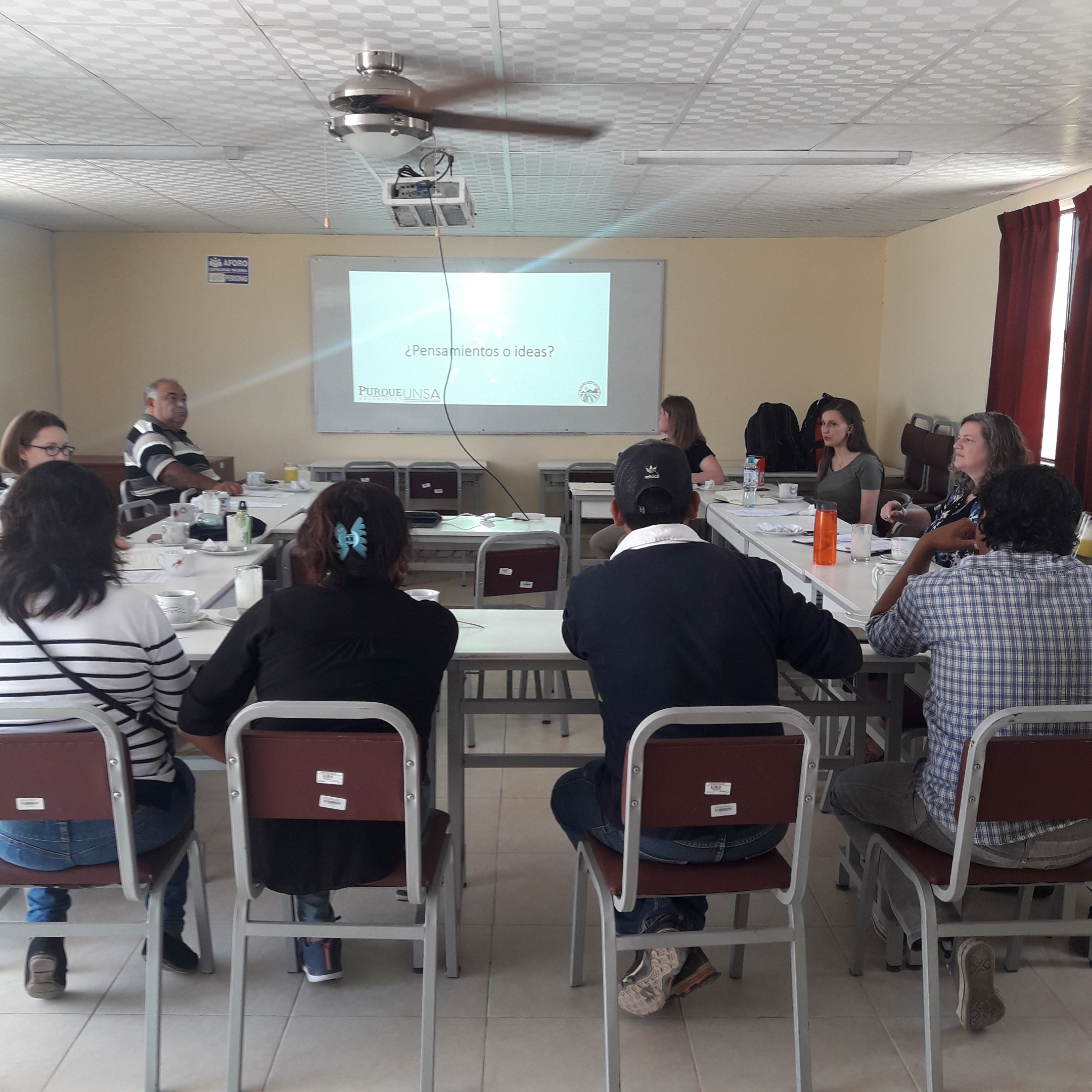
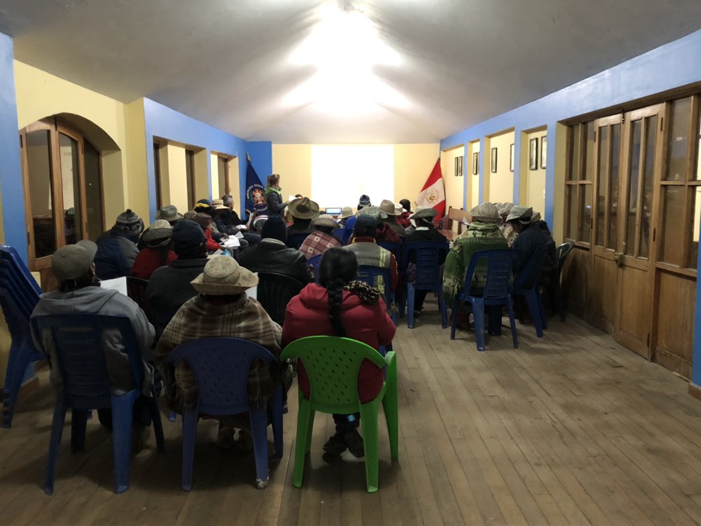
Based on interviewees' responses, Phase 2 consisted of focus groups with community members and agency personnel. Former interviewees were invited to participate, as well as key local leaders and decision makers in agencies. SWM members presented the research findings from Phase 1, which included a summary of needs that had been obtained from interviewees. We then presented some preliminary tools to address the various needs that had been identified by interviewees. Following the feedback from focus group participants, the draft tools were revised.
Below is a list of products that are being created by the SWM team as a result of needs and interests identified through the co-production process. Due to COVID-19, in lieu of follow-up focus groups, we will send out surveys along with videos about the tools we are developing to stakeholders so that they can provide input about the usefulness and usability of these tools.
Regional Water Management Simulations
This is the number one priority for agencies in Arequipa. The SWM team has developed
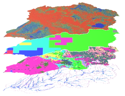
SWAT models for regional simulations to use to model scenarios for water availability for populational use, distribution needs, and flood and dam risks. This will also include projections for future water availability scenarios.
Climate Fact Sheets
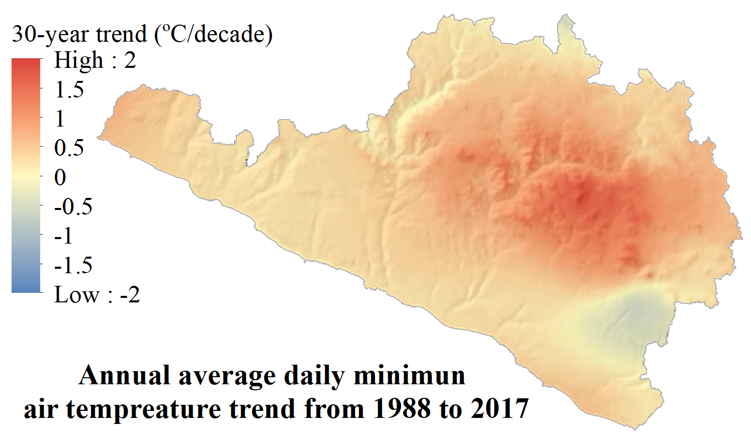
Southern Peru is an area with water resources that are highly vulnerable, particularly at higher elevations. The SWM team is using
terrain-sensitive climate maps to understand past and future climate trends. With this information, we have created
climate fact sheets for local populations to understand changes they are facing. Also, the
AQP-Clima tool allows users to explore historical climate trends in Arequipa.
Ephemeral Stream Risk Assessment
Many areas in Peru are known for their breath-taking jagged mountains that seem to rise out of nowhere. However, these jutting mountains also create steep valleys where runoff can careen down in torrents to lower elevations, even cities like Arequipa. By using
stream risk assessment to model areas that are at high risk for flash floods, the SWM team can advise city planners and community members areas that are dangerous for development as well as alternative designs.
Understanding Water Quality
There is little known community knowledge on actual water quality in Arequipa. In addition anthropogenic contaminants, many naturally-occurring contaminants can pose threats to human health and agriculture. Many areas are remote, which can make it difficult to encourage water quality measurements from agencies. Simple water quality tests, along with water quality indicators like benthic macroinvertebrates, can be used to give a baseline for understanding local water quality. These
fact sheets provide more information. The SWM team is also analyzing multiple water quality indices to see which best summarizes water quality in Arequipa.
Crop Monitoring
In the region of Arequipa, agricultural planning is not well-defined, and fluxuations in crop markets can greatly impact individual farmers. The SWM team is developing a
crop monitoring tool using remote sensing to differentiate crops and crop stages. This will upgrade an existing tool created by Peru's Ministry of Agriculture. Additionally, information extracted from this crop monitoring will also allow for a broad-scale picture of crop-specific agricultural water needs in the area, which is one of the largest uses of water.
Irrigation Management
Traditional terraced agriculture in the highlands of Peru is concurrent with flood irrigation. Increased pressure on agriculture and water resources has forced shifts in irrigation methods to using sprinkler and drip irrigation. However, farmers often base irrigation on empirical methods and do not have a reliable water source year-round. The SWM team is creating a
crop water use tool to aid farmers in knowing how much to irrigate their fields to avoid water loss and introduction of pests. Irrigation scheduling will be combined with this method to give communities a sense of how much water they need for their campaigns to be able to ask for funds to secure more accessible water. In the Colca valley, where water is scarce, farmers can use the
crop mix planning tool to decide how much of each crop to plant to maximize profit and minimize water use.
 Co-production is the process by which experts, in this case tool developers, and users work together to co-create products that are most useful, usable, and adapted to local needs. It includes expertise from both parties and a multistep process to achieve the desired output. A multidisciplinary team, led by Linda Prokopy and Edwin Bocardo, is working with stakeholders at both the regional and local levels to develop products to aid in water management decision-making. Communities involved in this effort include Pedregal, the Colca valley, and several municipalities in the city of Arequipa. These products span many expertises and provide a range of information for users for enhancing water management in a water-scarce region.