

INTEGRATED DEER MANAGEMENT PROJECT
The Integrated Deer Management Project is a multi-year research project led by the Department of Forestry and Natural Resources at Purdue University in partnership with the Indiana Department of Natural Resources – Division of Fish and Wildlife.
Contact Us
Patrick McGovern, Project Coordinator
pmcgove@purdue.edu
PFEN 126A
715 W. State Street
West Lafayette, IN 47906
(765) 496-6277
What is the Integrated Deer Management Project?
The goal of the Integrated Deer Management Project is to combine deer population and habitat condition information with public perceptions of deer and deer management to better inform white-tailed deer management in Indiana.
This will be done by:
- Estimating deer populations and fawn recruitment across Indiana.
- Developing region-specific deer population models.
- Assessing deer habitat condition and deer impacts to woodlands across Indiana.
- Evaluating people's awareness, perceptions, and expectations of Indiana deer populations and how they are managed.
- Estimating predator density and potential impacts on deer populations.
HOW IS THIS BEING DONE?
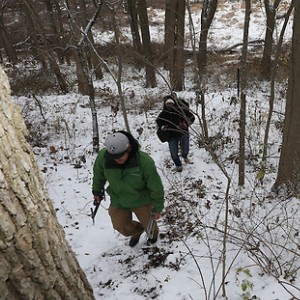
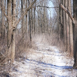
We are undertaking a series of research studies to better understand deer, their habitat, and people’s values towards deer throughout Indiana. These studies are split into 3 broad categories; deer, habitat, and people. By combining information from these 3 studies, we can help Indiana deer managers make more informed decisions. Data for these projects are being collected through a variety of research methods.
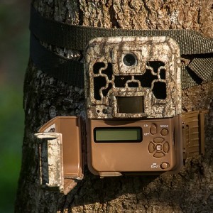
Deer populations are being estimated with data from trail cameras, deer pellet counts, and aerial surveys.
- 1,103 cameras deployed
- more than 3.2 million photos captured
- 4,046 pellet groups
- 2,496 miles of aerial surveys
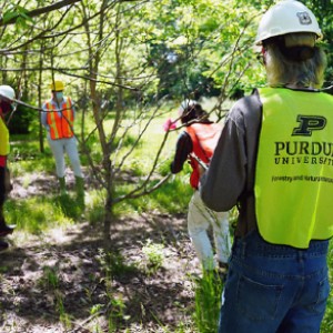
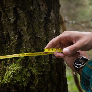
Deer habitat condition is being estimated by aging twigs, sampling plants on transects, and measuring growth and survival of oak seedlings planted in and outside of exclusion cages.
- 173 woodlots sampled
- 22 miles of plant sampling transects
- 140 deer exclosures built
- 5160 oak seedlings planted
People's perception of deer populations and their management is being estimated through interviews, surveys, and focus groups.
- 75 individual interviews
- 2 focus groups
- 6,000 mailing surverys
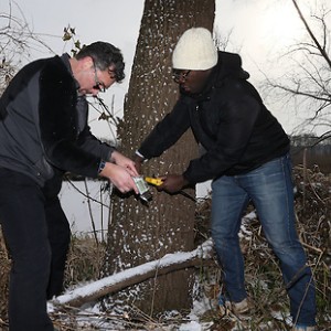
Common predator species such as coyote and bobcat are identified using noninvasive genetic surveys.
- More than 3,150 miles of scat surverys
- 1,225 scat samples collected
- 381 hair snares
Project Timeline
Set trail cameras
Aerial surveys, exclosure construction
Retrieve trail cameras, pellet counts, winter browse surveys
Plant oak seedlings, vegetation surveys, process and classify images

Vegetation surveys, process and classify images
Measure oak seedlings, process and classify images
Secure property permissions
Where is this being done?
As a first step in the Integrated Deer Management Project, we created 10 Research Management Units (RMUs) across Indiana. A Research Management Unit is a collection of counties that have similar deer habitat characteristics, hunter densities, and human development. A modification of these Research Management Units is being used by the Indiana DNR as Deer Management Units (DMUs). For more information about the Research Management Unit Process, see the 2018 Indiana White-tailed Deer Report or request a copy of the paper describing the process.
Research Management Units
We are evaluating deer population and habitat condition in 3 of the 10 Research Management Units. Within those RMUs we are collecting data in multiple zones, each 16 square miles in size. Data from those zones will help us paint a picture of deer populations and habitat condition across each RMU.
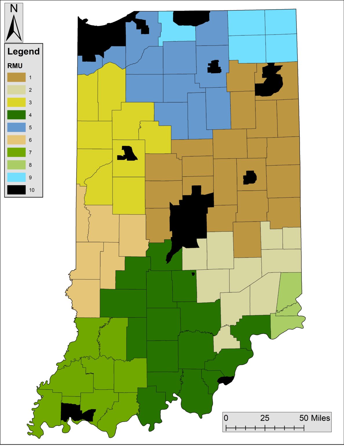 All Research Management Units
 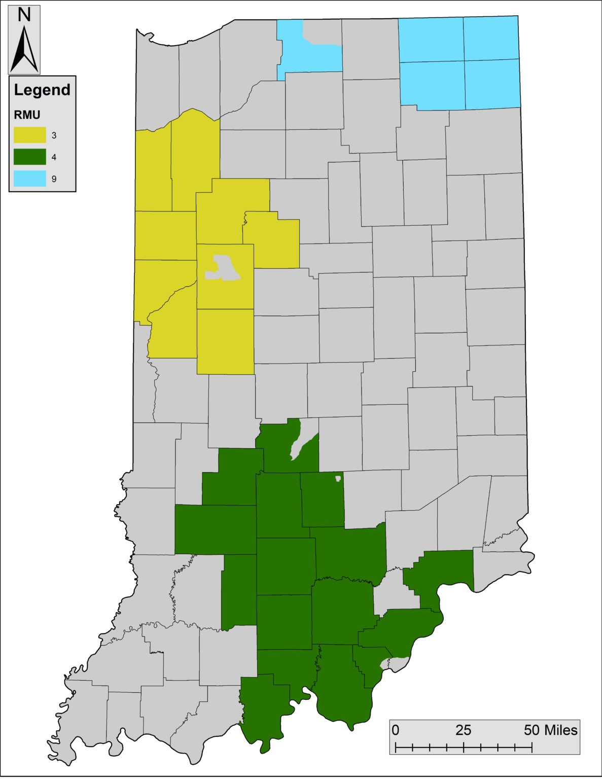 Current Research Management Units
 Are you interested in learning more about the Integrated Deer Management Project?
Join us for four separate webinars as we dive deep into this multi-year research project. The webinars are FREE and you can register on this site.
register here