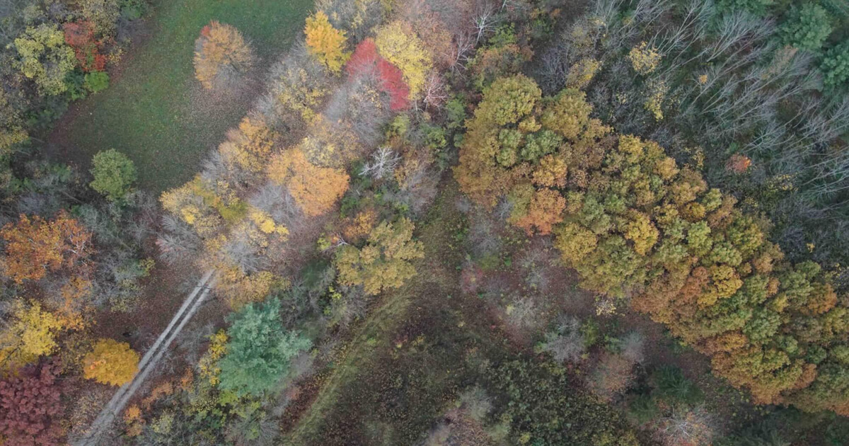
Forest management primarily uses conventional methods that have not changed in decades, including manual measurement of individual trees. This is time consuming and infeasible for large forests, he says.
“We want to help transition the field to data-driven, AI-supported precision forest management,” Fei says about the initiative, which is part of Purdue’s Next Moves. “We also plan to become a leader in education programs that prepare the next generation workforce for the information age.”
To achieve that goal, Fei is bringing together experts from a variety of disciplines including forestry, entomology, ecology, engineering, geomatics, aviation technology, remote sensing, machine learning, data analysis and visualization, robotics, IoT, and geospatial information retrieval.
The multidisciplinary collaborations fostered through the initiative will be the key to success, says Ayman Habib, the Thomas A. Page Professor of Civil Engineering and head of Purdue’s Digital Photogrammetry Research Group.
“The ability to put world renowned engineering and agriculture researchers together is a unique strength at Purdue and it is very powerful,” Habib says. “Through these different perspectives, we can solve problems better and faster.”