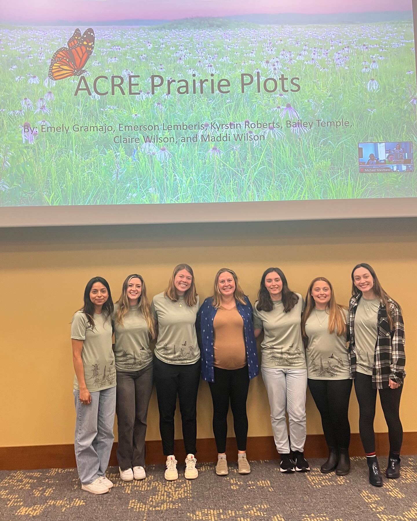
ACRE Prairie
Goal:
The reason for removing the Peterson Prairie was understood when the projects were first allocated to their specific groups. But, throughout the semester, the goals for creating the new prairie were identified through many conversations among the group, and with Dr. Bowling and Mrs. Stevens. At first, it was known that a species list, a trail design, and possibly a few signs for the new prairie were needed. So, from this information, a few draft products were created, and after presenting these draft products to the class and professors, considerable changes were made. For example, the species list was only the common and scientific names to begin with, so we added average height, bloom time, bloom color, conservation status, pollinators attracted, ease of establishment, planting time, and years to establish, for each of the species. Furthermore, the draft signage was changed to include aspects such as a QR code to an informational Purdue Extension pdf, more images, and more educative text. After further conversing with Mrs. Stevens, it was decided to make six signs – in total – to highlight the different aspects of the prairie while providing education to its visitors. Through consulting Dr. Bowling, the sizing for the signs was determined, with the five informational signs being (24” x 18”) and the welcome sign being (48” x 32”). The Literature Review, along with additional research on prairies and common interpretive sign designs helped complete the project.
Community Project Partner:
Rachel Stevens, Purdue University's Agronomy Center for Research & Education (ACRE)
Team Members
- Emely Gramajo
- Emerson Lemberis
- Kyrstin Roberts
- Bailey Temple
- Claire Wilson
- Maddi Wilson
SUMMARY:
A section of the Peterson prairie at the Agronomy Center of Research and Education (ACRE) was recently removed due to the construction of new grain bins. To help mitigate the loss of the section of the previous prairie, another prairie will be created in the front, Southeast section of ACRE near Highway 52. We partnered with the ACRE farm manager Rachel Stevens to help implement this new move. The new prairie will have designated trails, within, to allow people to traverse and explore the natural area. Furthermore, educational signage, benches, and picnic tables will be placed along the trails for enjoyment and rest. The specific deliverables that were created for this project are: a prairie species list, a GIS trail map for visitors, a GIS map for ACRE to use for designing the new prairie, five trail signs (24” x 18”), and a welcome sign (48” x 32”). Extensive background research was done for this project and the gathered information was incorporated into the Literature Review below. Through the employment of the knowledge gained on prairie ecosystems and the utilization of design and GIS software, the desired deliverables were successfully constructed.
1. Prairie Species List
2. GIS Trail Map for Visitors
3. GIS Map for ACRE for Design Use
4. Six Informational Signs:
a. Prairie Pollinators
b. Native Prairie Plants
c. Using Fire to Manage Our Prairie
d. How Our Prairie Benefits the Ecosystems
e. Prairie History
f. ACRE Prairie Welcome Sign

