
The Future of Forestry: Advanced Technologies Redefining Forest Management
The Future of Forestry: Advanced Technologies Redefining Forest Management
At Purdue University's Institute for Digital Forestry, we embrace this visionary mindset to shape the future of forestry. We believe that by harnessing advanced technology and innovative tools, we can revolutionize forest management and conservation. Our commitment is demonstrated through our pioneering use of various tools—each playing a crucial role in transforming how we understand and manage our forests.
Through these cutting-edge solutions, we are redefining traditional practices, enhancing data accuracy, and improving efficiency. By integrating these technologies, we aim to set new standards in sustainable forestry and pave the way for a greener, more resilient future.
Here are some of the tools leading the charge in this transformation:
Data to Science (D2S) Platform

AI-Powered iForester App
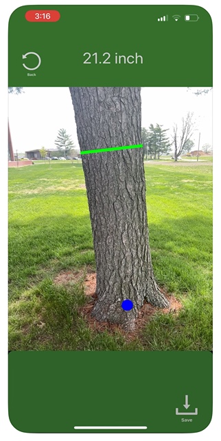
The iForester app is a game-changer in tree measurement. Using AI, it provides precise data on tree diameter at various trunk points, simplifying forestry tasks and eliminating the need for multiple tools. Designed for ease of use by both landowners and professionals, it relies on RGB and LiDAR images from select iPhone and iPad models. The app ensures data security and continually evolves with new features.
BackPack Mobile Mapping System
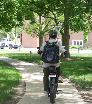
Our BackPack Mobile Mapping system revolutionizes urban forest scanning. By combining a backpack-mounted setup with a bicycle, it efficiently collects data in areas that are challenging for cars or drones to reach. This approach accelerates data collection and provides valuable insights into urban forests, enhancing our ability to manage these vital green spaces.
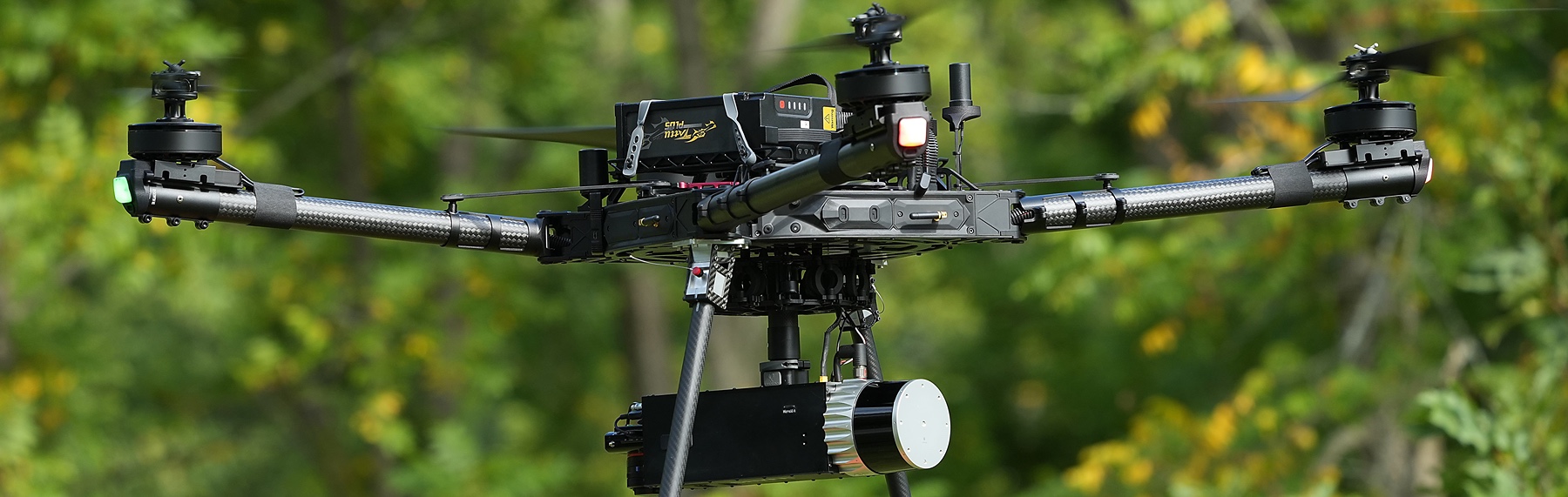
Drones
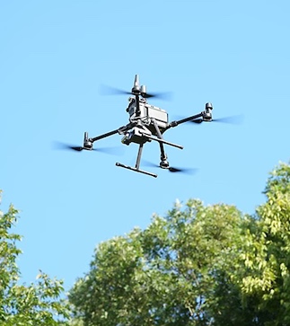
Drones offer groundbreaking aerial perspectives on forest landscapes. Equipped with high-resolution cameras and LiDAR sensors, they capture detailed imagery and topographical data, enabling precise analysis of forest structure, canopy cover, and tree density. This technology provides a comprehensive view that is crucial for effective forest management.
At the Institute for Digital Forestry, our dedication to innovation is reshaping the future of forestry. By integrating these advanced tools, we are not only improving the accuracy and efficiency of forest management but also setting new standards in sustainability and conservation. Our work aims to ensure that forestry practices evolve to meet the challenges of the 21st century, contributing to the health and longevity of our global forests.
JOIN THE MOVEMENT TO MEASURE EVERY TREE
CONTACT USJOIN THE MOVEMENT TO MEASURE EVERY TREE
CONTACT US