Forestry & Natural Resources
Purdue digital forestry students win first prize in 2024 Annual GeoChallenge
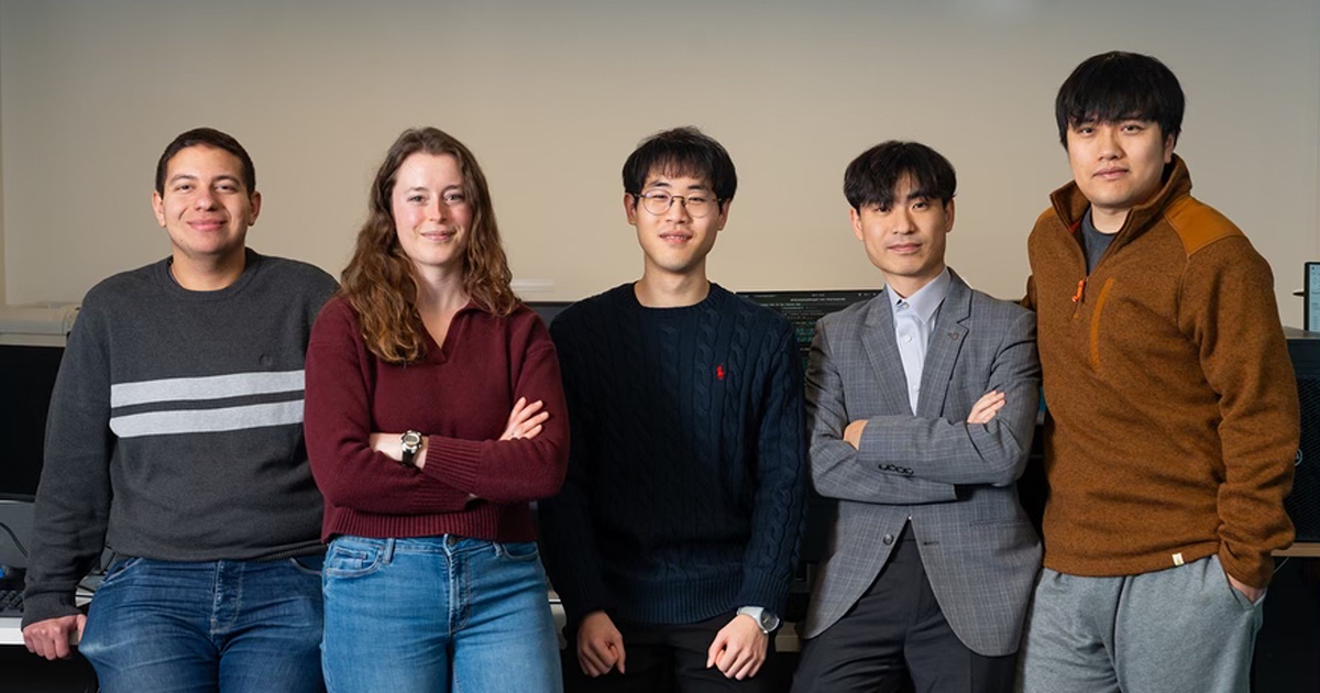 From left: Aser Eissa, Stephanie Willsey, Sungwoong Hyung, Sang-Yeop Shin and Jinyuan Shao (not pictured: Hazem Hanafy), the team of digital forestry graduate students that won the American Society for Photogrammetry and Remote Sensing’s 2024 Annual GeoChallenge for their application of Geiger-mode lidar data. (Purdue Agricultural Communications/Joshua Clark)
 WEST LAFAYETTE, Ind. — A team of digital forestry graduate students from Purdue University won first prize in the American Society for Photogrammetry and Remote Sensing’s (ASPRS) 2024 Annual GeoChallenge: Innovate with Lidar contest. The award, which included a cash prize of $900, was announced this week at the 2025 ASPRS Annual Conference in Denver.
The competition encouraged ASPRS student members and early career professionals to develop an innovative application or use case using data from one of three Geiger-mode lidar datasets provided by 3DEO, the corporate partner for the event.
The Purdue team, led by Jinyuan Shao, included Sungwoong Hyung, Stephanie Willsey, Sang-Yeop Shin, Aser Eissa and Hazem Hanafy. Ayman Habib, the Thomas A. Page Professor in Civil Engineering and associate director of the Institute for Digital Forestry, and Songlin Fei, professor and Dean’s Chair of Remote Sensing and director of the Institute for Digital Forestry, advised the project.
Shao explained that Geiger-mode lidar provides extensive point cloud data across large areas, offering significant potential for environmental and infrastructure analysis. Unlike conventional lidar that records an analog waveform, Geiger‐mode systems record discrete photon events, leading to high data volumes. However, massive photon-count datasets require specialized data handling. In addition, its capability on various downstream tasks has not yet been fully explored.
“Our team presented a comprehensive workflow by denoising, analyzing and visualizing to process and explore the potential of this kind of lidar data,” Shao said. “The findings demonstrate that the properties of the Geiger-mode data can be used for denoising, deep learning models can be used for segmentation, and individual tree crowns can be segmented from the data.”
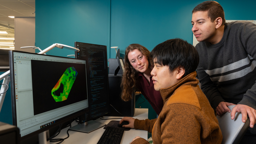 Team lead Jinyuan Shao, middle, goes over Geiger-mode lidar data with teammates Stephanie Willsey, left, and Aser Eissa. (Purdue Agricultural Communications/Joshua Clark)
 Speaking about the impact of the students’ submission, Fei said, “Geiger-mode lidar data, which are often obtained by a crewed aircraft from mid to high altitude, can cover a large geographic area in a relatively short amount of time. The algorithms developed by the students can be used to automatically segment and measure ground objects across a large area, which provides a foundation to build high-precision digital twins for various real-world applications.”
Habib was also honored at the conference, where he was named an ASPRS Fellow for his work as a distinguished educator, scholar and leader in the fields of photogrammetry and geomatics. He has led and contributed to such research innovations as the development of mobile mapping systems including wheel-based and UAV-based systems to support infrastructure monitoring, forestry and agricultural applications and transportation safety, and innovative camera techniques for calibrating consumer-grade cameras and lidar systems.
About Purdue Institute for Digital Forestry
Purdue University’s Institute for Digital Forestry merges digital technology and cross-disciplinary knowledge to revolutionize forest management and conservation. The institute is a collaboration of investigators from the colleges of Agriculture, Engineering, Liberal Arts and Science with Purdue Libraries and Polytechnic Institute, integrating expertise in artificial intelligence, machine learning, computer applications and modeling, geosciences, satellite and drone sensing platforms, social sciences, and education for sustainable and equitable rural and urban forest management.
About Purdue University
Purdue University is a public research university leading with excellence at scale. Ranked among top 10 public universities in the United States, Purdue discovers, disseminates and deploys knowledge with a quality and at a scale second to none. More than 107,000 students study at Purdue across multiple campuses, locations and modalities, including more than 58,000 at our main campus in West Lafayette and Indianapolis. Committed to affordability and accessibility, Purdue’s main campus has frozen tuition 13 years in a row. See how Purdue never stops in the persistent pursuit of the next giant leap — including its comprehensive urban expansion, theMitch Daniels School of Business, Purdue Computes and the One Health initiative — athttps://www.purdue.edu/president/strategic-initiatives.
Writer: Maureen Manier, mmanier@purdue.edu
Media contact: Devyn Ashlea Raver, draver@purdue.edu
Sources: Jinyuan Shao, jyshao@purdue.edu
Agricultural Communications: Maureen Manier, mmanier@purdue.edu, 765-494-8415
Journalist Assets: Publication quality photos can be obtained at this link