ACRE Prairie
Goals and Objectives:
Throughout this project, our goals and objectives have evolved as we have gotten a better understanding of the needs of our project partner and after doing more background research on prairie restoration projects. After our initial meeting with our project partner, we were able to narrow down our goals and our objectives became much more feasible. We began working on a restoration and management plan that was tailored very specifically to this prairie's location, soil, type, and other physical features. Additionally, we incorporated an educational component into the plan by proposing interpretive signage and website content to engage the public and promote awareness of prairie ecosystems. Our project partner helped to guide these efforts by providing more specific requirements for these deliverables, such as following a similar theme and design to the signs already in place at the ACRE wetland area. For the educational videos, we were able to narrow down the list of people who would be filmed and interviewed. Finally, we were able to develop an exact seed mix and determine the cost after communicating with a local seed house. Overall, our project partner helped to guide our initial efforts by providing more specific expectations that we were able to incorporate into the final deliverables.
Community Project Partners:
ACRE Prairie
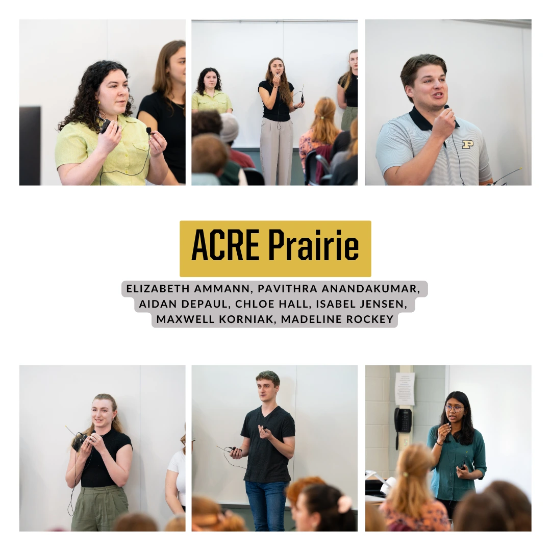
Team Members
-
Elizabeth Ammann
-
Pavithra Anandakumar
-
Aidan DePaul
-
Chloe Hall
-
Isabel Jensen
-
Maxwell Korniak
-
Madeline Rockey
Summary:
The Purdue Agronomy Center of Research and Education (ACRE) has had a proposal to incorporate additional prairie land to the property after having to reduce previous prairie sections for grain storage. The proposal consists of sectioning a 2.6-acre plot of land along U.S. Highway 52 at the entrance of the property into a prairie where visitors can experience a natural prairie habitat including vegetation and wildlife by walking along trails and reading interpretive signs. The previous planning for this proposal involved the development of an ArcGIS map and interpretive signs for visitors to view. This project continues this planning by working with ACRE Farm Manager Rachel Stevens to refurbish the ArcGIS map into GPS and redesign the interpretive signs. Additionally, new deliverables have been assigned to bring the proposal past the planning stage and closer to implementation. These deliverables include a management plan with steps on site preparation and establishment, seed mix sources, content for the ACRE website, and transcripts of Purdue faculty discussing their knowledge of prairies. The primary goal of these deliverables is to supply the proposal with a foundation once it reaches the point of implementation where park management will be able to follow the deliverables to sustain the prairie’s growth and easily introduce public visitation to the area once the prairie has matured. Furthermore, online resources such as the website and transcripts are to provide visitors with more information because there will not be a staff member to discuss with routinely on site, allowing for the experience to be wholly managed by the visitors themselves.
- GIS map of the proposed area
- Native seed mix sources
- Interpretive Signs:
- Flora in the Prairie Sign
- What is a Prairie Sign
- Why Use Fire Sign
- Welcome Sign