
Knap XP
Knap XP™
The Knap XP™ is an advanced mobile mapping system that allows you to gather detailed precise data. The system is adaptable for use on BackPack or UAV.
Product Overview
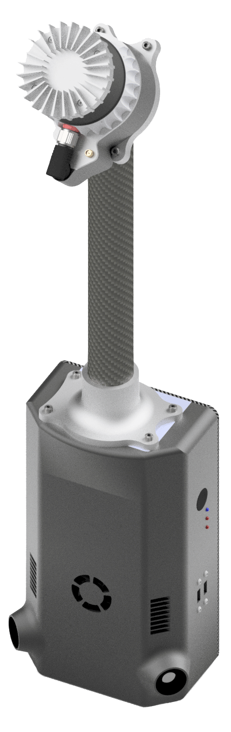 The Knap XP™ is a LiDAR system designed specifically for use in forest environments. State-of-the-art sensors capture detailed data with precision and efficiency in backpack or Unmanned Aerial Vehicle (UAV, or drone) mode.
A wireless web app makes the XP™ easy to operate, while two rechargeable batteries help maximize data collection efforts. Our integrated processing pipeline generates point clouds and extracts tree metrics in a single workflow.
Built for quick deployment and efficient, accurate data collection
- OS-1 Ouster LiDAR sensor
- SBG Ellipse-N (GNSS-aided inertial navigation system for precise orientation and position data)
- 90m range at 10% reflectivity, 200m max range
- 500+ GB internal storage for hours of data collection
- 4+hr battery life
- Direct-Georeferencing and
Trajectory Enhancement - Dual cameras
Designed for field use
- Removable sensor mast
- Intuitive web interface
- Gig-E and USB3 connectivity
- Two standard rechargeable batteries (hot swappable)
- Tough, compact casing
- Carbon-fiber frame with full backpack suspension for comfortable and secure fit
Uses
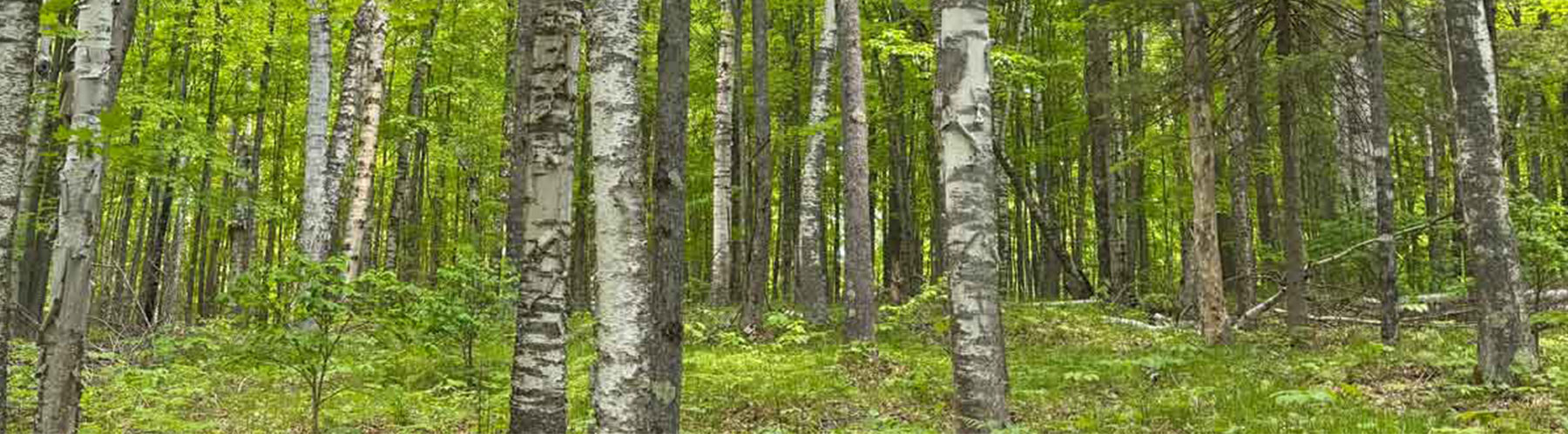
The Knap XP™ is portable and comfortable, making it well-suited for use in:
- Natural forests
- Plantations
- Urban settings
How the Knap™ Works
Inertial navigation on the Knap XP™ provides real-time acceleration and rotation augmented with GNSS position. In direct georeferencing mode, this navigation data is post-processed and further enhanced using LiDAR point data. Onboard processing also enables SLAM mode, where a precise trajectory is generated in real-time without the need for GNSS.
After point cloud generation, individual trees are segmented, and relevant metrics can be extracted on a per-tree basis. This workflow allows a user to collect data for acres of inventory purposes in just minutes.
Data Capture
The Knap XP™ captures all raw data internally for complete mission data records. Capture and organize multi-acquisition missions via web-based interface.
Tree metrics that can be extracted from point cloud:
- Location
- Height
- Diameter
- Volume
- Bifurcation
- Board feet
- Inch-level performance in position and metrics
Knap XP™ Specifications
Sensors
LiDAR - Ouster OS-1-64-Rev7 (optional 128 channel upgrade)
GNSS-INS - SBG Ellipse-N with u-blox ZED-F9P GNSS receiver
Camera - 8.1 MP Sony Pregius S
Computer Hardware
Module - NVIDIA Jetson Orin NX
Storage - 512 GB NVMe SSD (optional 1 or 2 TB upgrade)
Software
Post-processing - Arbor Forge point cloud processing, Forest Metrics tree segmentation and metric extraction
User interface - Knap Control Interface (Web UI)
Power
Rechargeable battery - Milwaukee M18 batter (2)
Battery life - 2+ hr run time per batter
Other Details
Weight - ~5 kg/11 lb (UAV ~2.5 kg/5.5 lb)
Additional Features
- Adaptable for use on BackPack or UAV/drone
- Portable
- Comfortable
- Coming soon
- Complete processing user interface software
- RGB camera processing
- Real-time visualization