

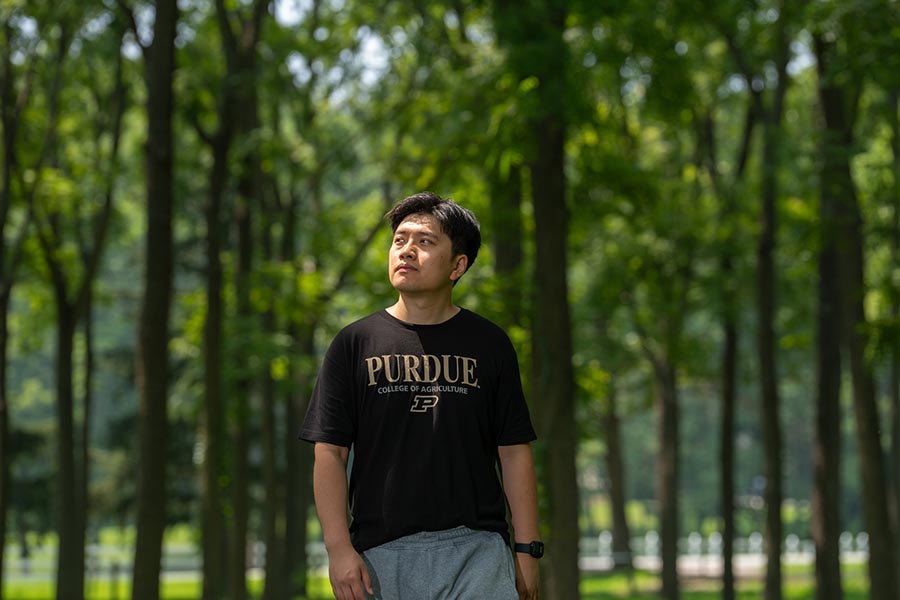
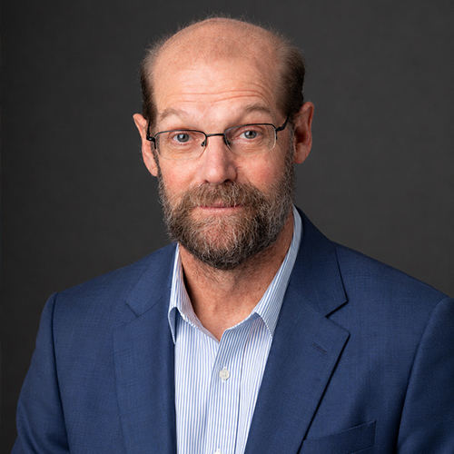
Jinyuan Shao - Graduate Ag Research Spotlight
Traditionally, if you wanted to accurately measure the volume of a tree, you had to cut it down. With LiDAR, we can manipulate and analyze data without destroying the forest structure.
- Jinyuan Shao, PhD candidate in Forestry and Natural Resources
The student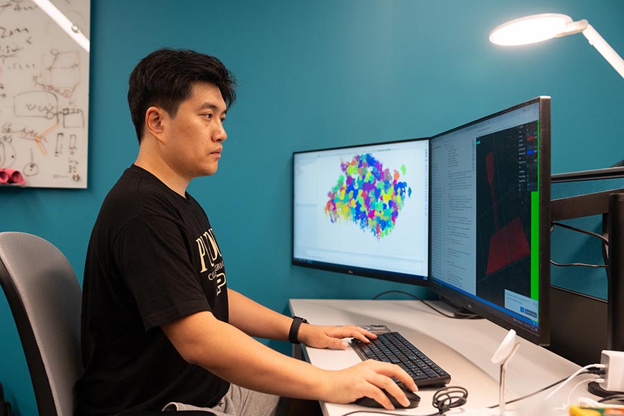
From a young age, Jinyuan Shao was drawn to computers and fascinated by how things worked. In high school, that curiosity turned into hands-on passion, he dove into DIY tech projects, even customizing his own cellphone just for the challenge. So when college rolled around, choosing engineering felt like a natural step. But Jinyuan wanted more than just circuits and code as he was craving impact beyond the digital world.
“I came to feel like my capabilities should be applied in terms of science or nature,” he says.
Shao went on to earn a master’s degree in ecology, then began to look for a way to combine all his interests.
“I found out that Purdue had a very interesting program integrating remote sensing and natural resources with AI,” he says.
He reached out to Songlin Fei, professor of Forestry and Natural Resources and director of the Institute for Digital Forestry, who encouraged him to apply. Shao arrived in West Lafayette in 2021.
“In my hometown, you can see mountains all around,” he says. “Everything here is flat – that was a very impressive thing to me!”
The research
Working in Fei’s lab, Shao studies how LiDAR data and AI can be used in forestry.
“Traditionally, if you wanted to accurately measure the volume of a tree, you had to cut it down,” he says. “With LiDAR, we can manipulate and analyze data without destroying the forest structure.”
Using LiDAR combined with AI-powered algorithms, it’s possible to measure and count trees, identify species, and assess value. This information is useful for property owners, managers, policy makers, and researchers alike. Shao gives the example of Indiana Department of Natural Resources statewide Continuous Forest Inventory program, which has been done annually through a manual process. LiDAR data and AI analysis could make the job much more efficient.
Though much of Shao’s work happens in the lab, he does get time in nature as well. “Every season we go into the forest with backpack LiDAR and drone LiDAR and collect data,” he says. “Then we get the data back and put it into the server to train the algorithm.”
Opportunities
“Dr. Fei has given me lots of opportunities, including going to academic conferences and doing competitions,” Shao says. Shao and his classmates recently won first place in the American Society for Photogrammetry and Remote Sensing’s annual GeoChallenge, for which Shao served as team leader.
Shao has been awarded for various scholarships, including a Charles H. Michler Scholarship, an IndianaView Student Scholarship, and a Purdue Ross Fellowship, a highly prestigious four-year fellowship for “outstanding PhD-track students.”
“Dr. Fei has taught me to be a good researcher, how to be a critical thinker, how to co-work with other people, and how to communicate well and have leadership skills,” Shao says.
Shao has also had the opportunity to work as a teaching assistant for several semesters, assisting on an undergraduate course on natural resource information management.
“It feels good that I can convey my knowledge to younger generations,” he says.
Future plans
Shao expects to graduate this December. He’s currently looking for opportunities in both industry and academia. “I would like to see which one is more challenging, and which one would help me improve myself better,” he says.
When he’s not working, Shao likes to walk around the lake near his home.
“I just like to walk in nature and think,” he says.
Featured Stories
Animal genetics leaders at Purdue drive innovation and student success.
Ask Purdue biochemistry students in the College of Agriculture about their experience and their...

By learning how to cut through the hype and focus on what truly matters, you can shop smarter...
Channing Arndt, research professor in agricultural economics and director of the Global Trade...
Daniel Szymanski and his former postdoctoral scholar Youngwoo Lee, lead author on their paper...
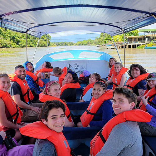
The Costa Rica Rainforest Experience study abroad trip allowed students to experience the wonders...