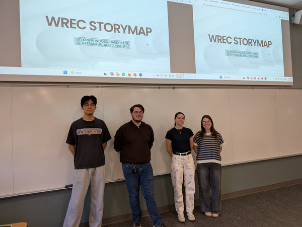
WREC Storymap
Goals and Objectives
With such a complex and wide scope of work, an organized and user-friendly mapping of their projects was in order. There were two main components of this project; an interactive clickable map showing various completed and in-progress projects for the use of the community to discover what WREC has done and where finished amenities can be accessed, and a comprehensive story map not only showing where the projects, past, present, and future, are, but also to describe the vision and reason WREC is doing all of this in the first place.
At the onset of the project, the waters were murky about the fundamental differences between the two deliverables, namely which projects should be included in each. After multiple meetings with the community partners, both virtual and in-person at WREC’s office, clarity of this was achieved. Specific locations, images of the projects, funding information, and what projects took precedence trickled out through these biweekly meetings. It was also determined in these meetings that these projects would be a starting point for WREC to adapt as they see fit after our time with them finished. Specific goals for timelines were set for the completion of both projects and were followed reasonably well. The clickable map was set to be completed by spring break, roughly the third week of March. Thereafter attention was to be focused on the story map. As needed, continual edits after that soft deadline were made to the clickable map. It was also noted that emphasis should be placed upon WREC’s Master Greenway Plan in the story map, which gave clarity to the overall purpose of that deliverable.
Community Project Partners:
WREC
Team Members
- Seth Franklin
- Zhu Junde
- Hailey Kane
- Kenna Woods
Summary:
The purpose of this capstone project was to give WREC a springboard for information dissemination in a palatable format, which is to say neither deliverable is in its final form. Continual updates to the projects on the clickable map will enable it to be a useful tool for the community. As the story of the Greenway progresses, the story map will also need to be updated to keep it a timely representation of WREC’s plans. This could be a potential problem given it takes time to make these updates, adding work to an already busy schedule for WREC. Additionally, tweaking of some information we provided in both maps may be needed, as we are not as familiar with WREC’s work as our community partners. We are also not experts with ArcGIS Pro or other geographic information systems, so a careful look into the precise coordinates of project areas is also recommended to ensure consistent and accurate information.
- Clickable Map
- Story Map