Purdue Crewed Airborne Mapping System
Purdue Crewed Airborne Mapping System
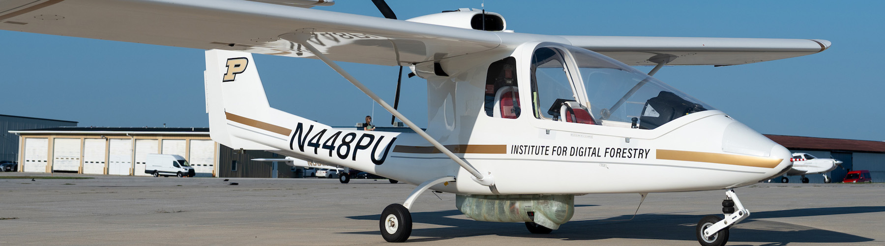
The Purdue Crewed Airborne Mapping System (PCAMS) integrates advanced remote-sensing technologies with a crewed light-sport aircraft with applications across forestry, agriculture and environmental research.
What does pcams do?
PCAMS fills a critical remote-sensing gap between UAS and satellite platforms. Combining a two-seat Sky Arrow light-sport aircraft that can:
- Collect high-resolution, multi-sensor data simultaneously
- Cover large areas in a single flight
- Conduct customized and repeat acquisitions
- Operate in areas where UAS use may be limited
- Access remote and challenging landscapes
Schedule a demonstration or consultation
Each PCAMS project can be tailored to specific operational or research objectives.
how can the pcams remote-sensing platform be used in forestry and agriculture?
PCAMS has applications in management, operations and research across forests, farms and other landscapes.
Forestry
- Improve inventory and biomass models: Streamline timber volume estimates and biomass tracking with highly accurate models of forest structure and canopy density.
- Monitor forest health and disturbance: Detect plant stress, disease outbreaks, and storm damage early to deploy quick mitigation strategies.
- Characterize forest structure and terrain: Map tree height, canopy layers and biomass as well as elevation and other terrain characteristics to create a reliable reference and help guide decision-making.
Agriculture
- Assess crop condition and vigor: Identify subtle spatial variations in crop condition across thousands of acres to address nutrient deficiencies early.
- Identify within-field variability: Map recurring problems like drainage issues or pest hot spots to optimize targeted tractor applications.
- Evaluate crop development: Track growth and monitor health, stress and disease to detect possible problems early.
Applications across landscapes
- Track seasonal phenology: Monitor growth stages and crop changes throughout the entire season to time harvest and shipping logistics.
- Track long-term change: Capture reliable, repeatable data over time to track growth rates, climate impacts and recovery.
- Compare trials and management practices: Run side-by-side comparisons of different inputs, seeds or practices across entire fields.
- Integrate with ground-based remote sensing, UAS, ground-reference data and other geospatial datasets: Seamlessly integrate high-resolution aerial layers with existing soil maps, weather history and scouting notes.
- Accelerate stress and spectral research: Deepen plant breeding and agronomy studies by capturing precise spectral signatures of crop stress.
what sensors and technology does pcams use?
PCAMS is equipped with an integrated sensor array that includes:
- GNSS-INS: Precise position and orientation for georeferencing
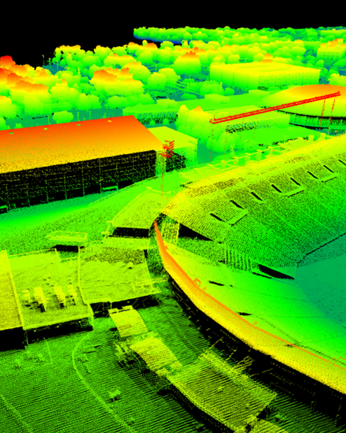
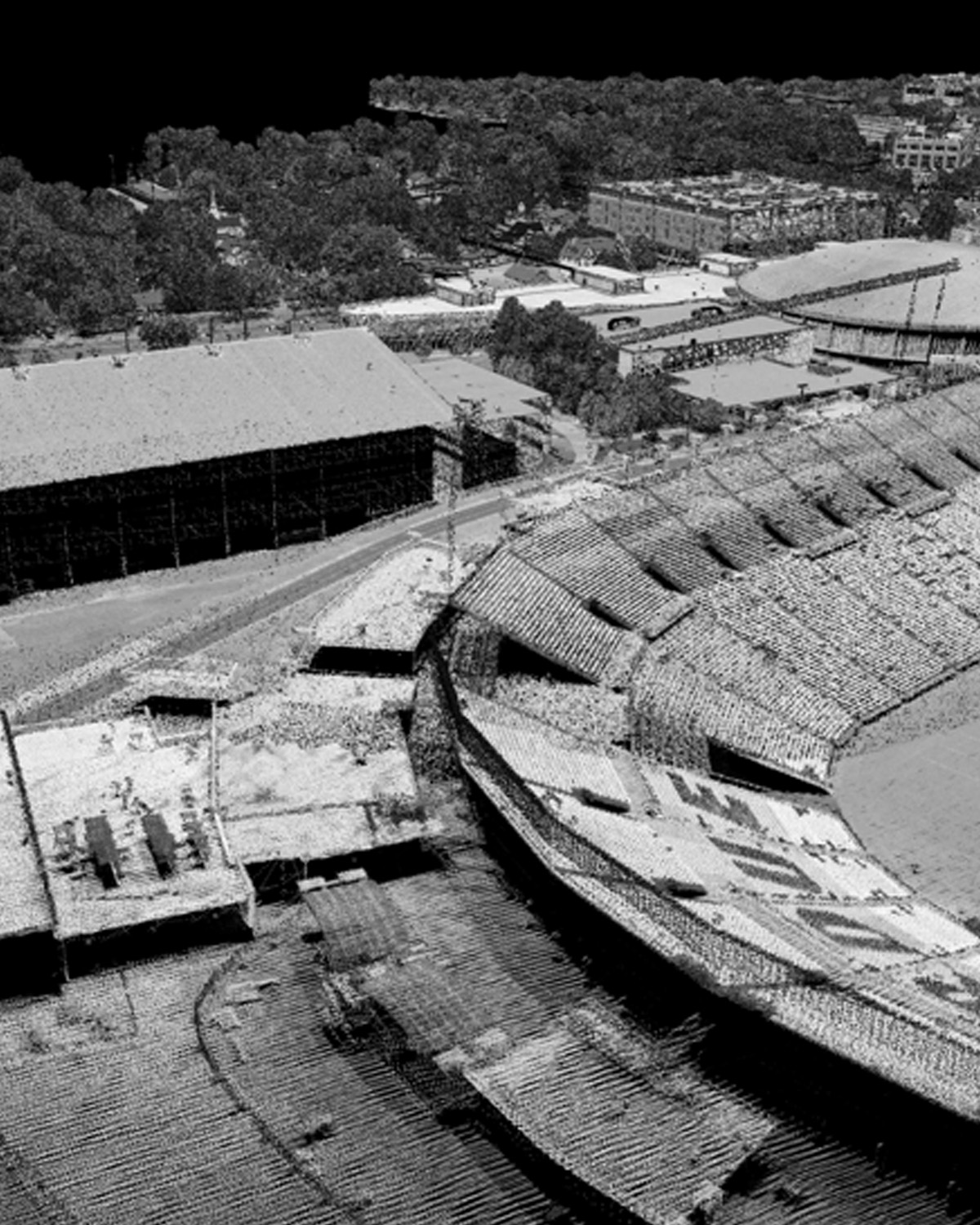
- LiDAR: 3D vegetation structure and terrain data
- Push-Broom Hyperspectral Imager: Spectral data supporting analysis of vegetation condition, stress, composition and classification
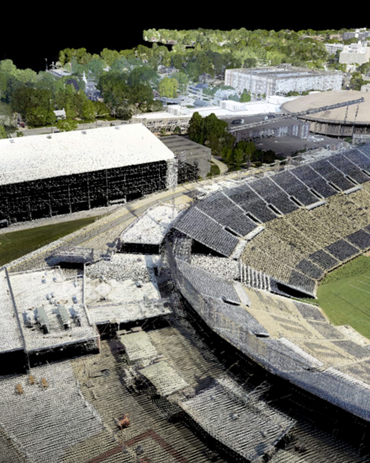
- High-Resolution RGB Camera: Color imagery for visual inspection, mapping and photogrammetric products
PCAMS incorporates vibration isolation, onboard data management systems and an additional camera mount, supporting reliable performance and flexible data collection throughout each mission.
How can you use PCAMS?
Every PCAMS project is tailored to specific operational or research objectives. Whether supporting operational decision-making, applied research or long-term monitoring initiatives, PCAMS delivers high-quality remote-sensing data tailored to project needs.
The PCAMS team works with partners to define:
- Study area and acquisition requirements
- Sensor data requirements
- Collection timing, including repeat collection needs
- Ground-reference data and validation requirements
- Integration with other sensing platforms and data sources
- Data products and processing
How data gathered by sensors visualized
PCAMS' integrated sensor array captures complementary datasets, providing a more complete view of vegetation structure, condition and surrounding terrain.