GEO: Global Ecosystem Observation
Research Interests
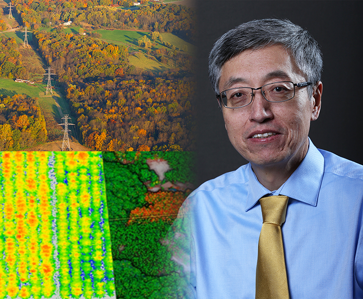
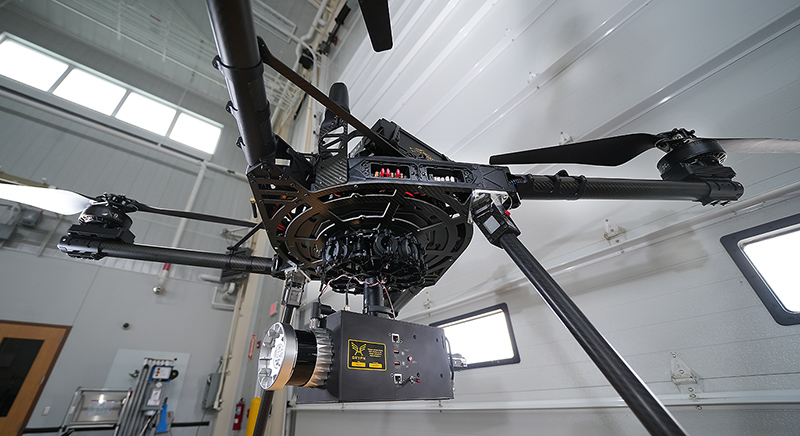
Dr. Guofan Shao’s overall research interest is digital forestry, which involves remote sensing, geographic information systems (GIS), forest modeling, and forestry decision-support systems (DSS). His remote sensing research is to advance the use of satellite remote sensing, photogrammetry, Lidar, and drone remote sensing for sustainable forest management. Dr. Shao is especially interested in applying state-of-the-art algorithms for accurate image classification in landscape mapping and analysis. His research group has conducted a variety of remote sensing experiments in the agriculture-dominated landscapes in Indiana. Dr. Shao has identified uncertainties commonly hidden in classification accuracy assessment of remotely sensed imagery, and proposed a stricter standard of accuracy assessment that is badly needed in the era of artificial intelligence and popular remote sensing. Dr. Shao has published nearly two hundred scholarly works, including 160 journal papers, six books, and 24 book chapters.
Contact
Guofan Shao, Ph.D.
Department of Forestry & Natural Resources
Address: PFEN 221B, 715 W State St, West Lafayette IN, 47907
Phone: 765.494.9461
Email: shao@purdue.edu
Directory Profile Page
