Clegg Garden
Goal:
Our goals for the Clegg project were remapping the trails with a 15-foot accuracy while clearly marking the switchbacks, ADA areas, and ecosystem boundaries as well as updating the trail maps and posters to reflect this change using three pillars to focus our work: Accuracy, Accessibility, and Aesthetics.
Community Project Partner:
NICHES Land Trust
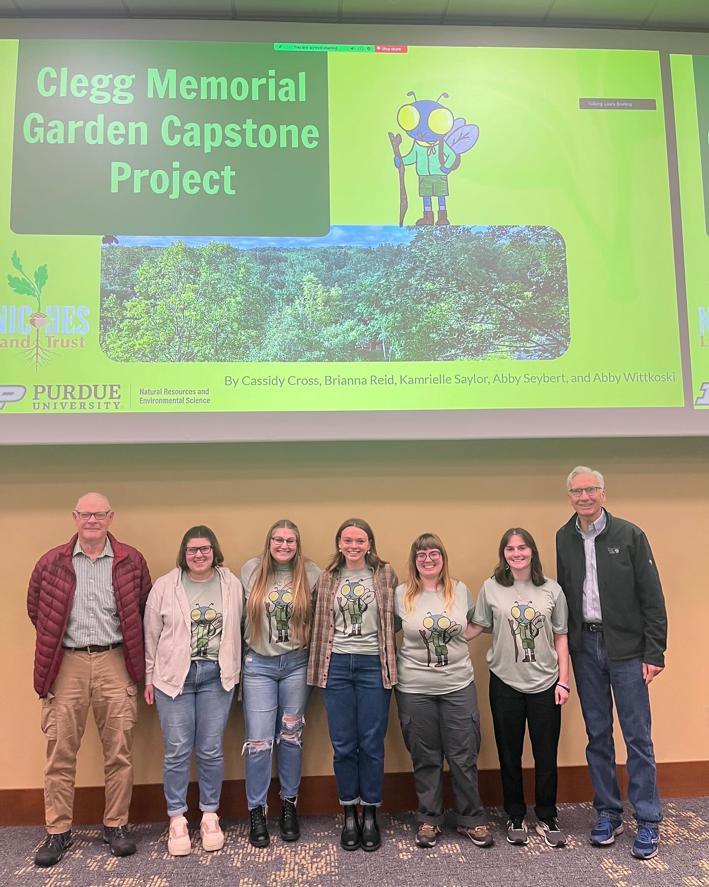
Team Members
- Cassidy Cross
- Brianna Reid
- Kamrielle Saylor
- Abby Seybert
- Abigail Wittkoski
Summary:
Clegg Garden was in need of new and accurate (15 feet accuracy) trail maps and an updated informational sign at their main entrance. Our project entailed re-collecting new data coordinates; adding and eliminating trails and nodes from the original map; incorporating trail names and distances into the map; accurately displaying ecosystem boundaries; working with Greg and John to re-orientate the map at each node, and freshening up the informational sign by adding updated information, pictures, and NICHES properties for each county.
In this project, 2 nodes were added for a total of 11 oriented node maps, as well as 1 informational poster and 1 large project file of all our GIS work. We included the stairs and bridges very clearly, as well as marking the dead end trails. In addition, we added the length of each trail on the map so visitors could easily see how far each trail was. Furthermore, we rewrote some of the informational paragraphs on the large poster and reached out to Sam Cody for more recent pictures to accurately describe all the NICHES properties. For accuracy, our goals were 15 feet or better, and through the project, we also made sure to highlight the location of stairs, bridges, dead ends of trails, and length of trails. Ecosystem boundaries were also made as accurate as possible despite the lack of plant growth. For each of our node signs, we also recorded the direction a visitor is facing when looking at the node, and in turn oriented the sign to face the same way. Accessibility was mainly focused on colorblind individuals. We wanted to make sure all the colors stood out from each other and every visitor would be able to interact with the signs. For very steep areas and stairs, we also made them more noticeable to keep people safe. The colorblind accessibility also played into our aesthetics. We did not want to compromise the look of the poster, yet wanted it to remain useful. We used large, easy to read fonts and made sure to focus on using recognizable symbols, and made sure to get rid of the gradient background and use NICHES and nature themed colors.