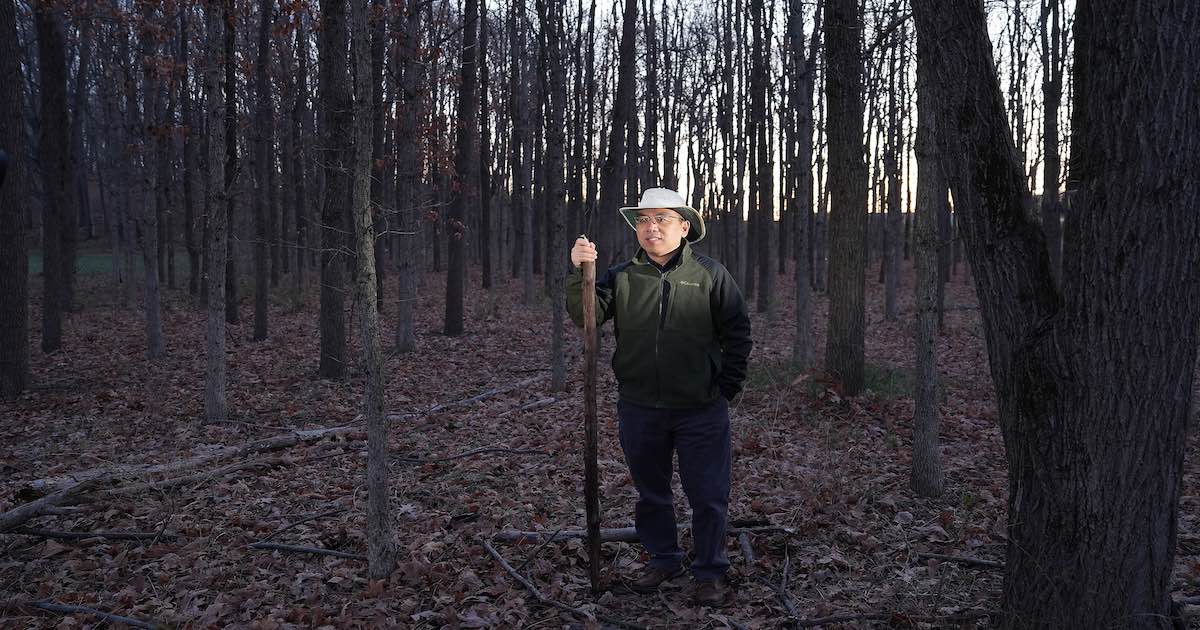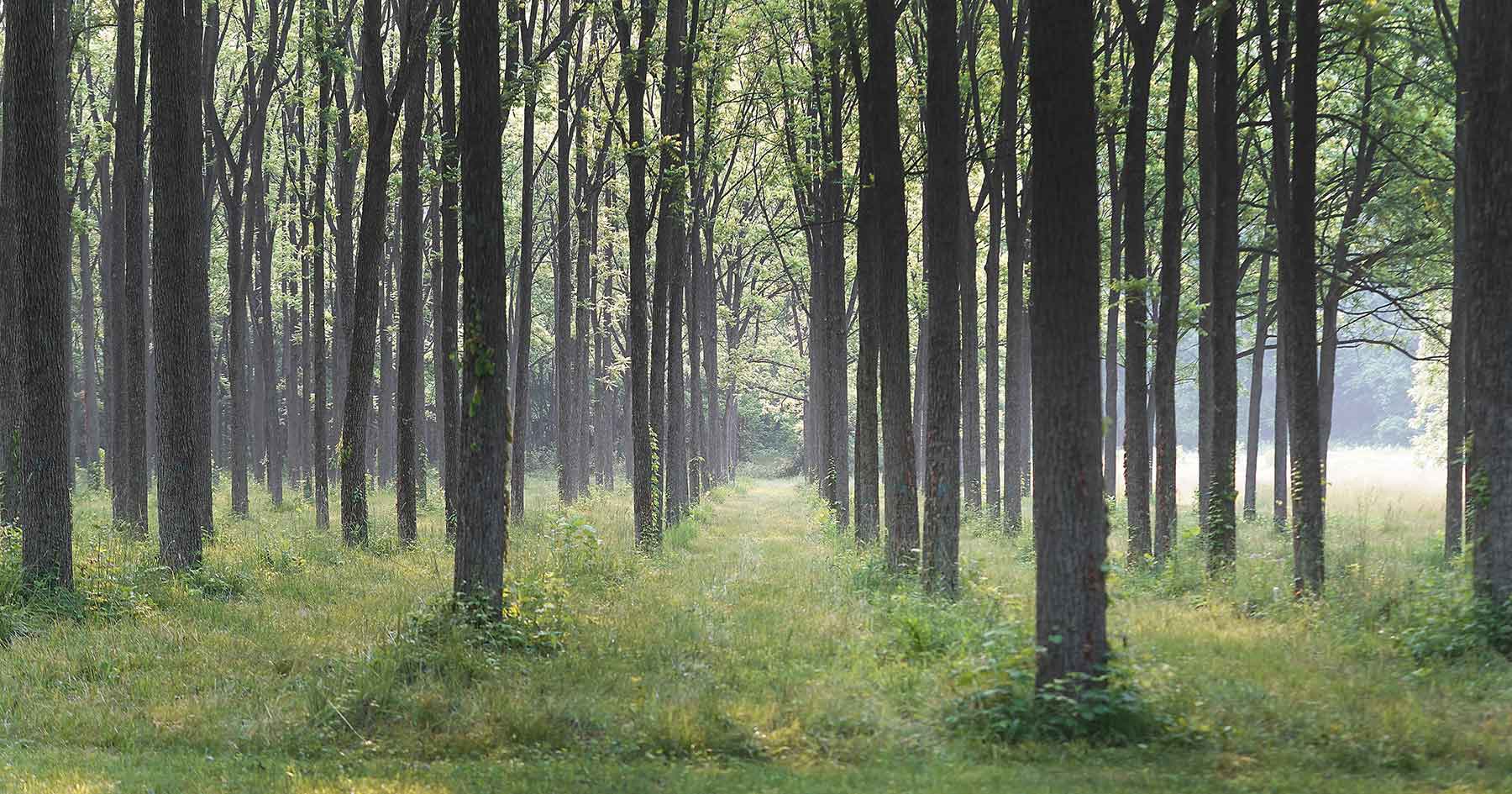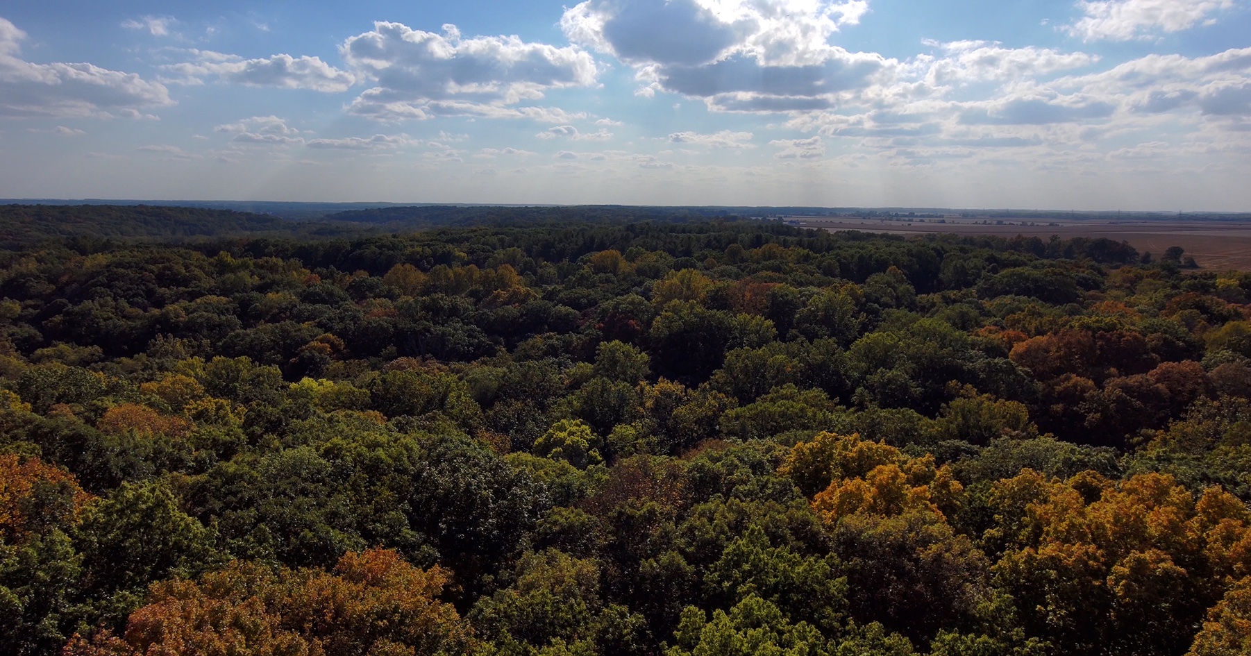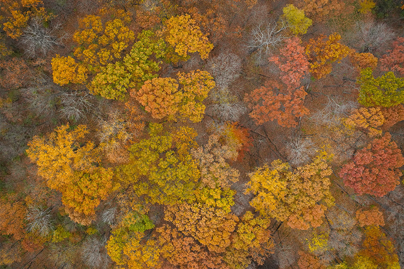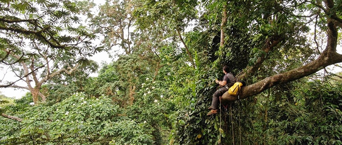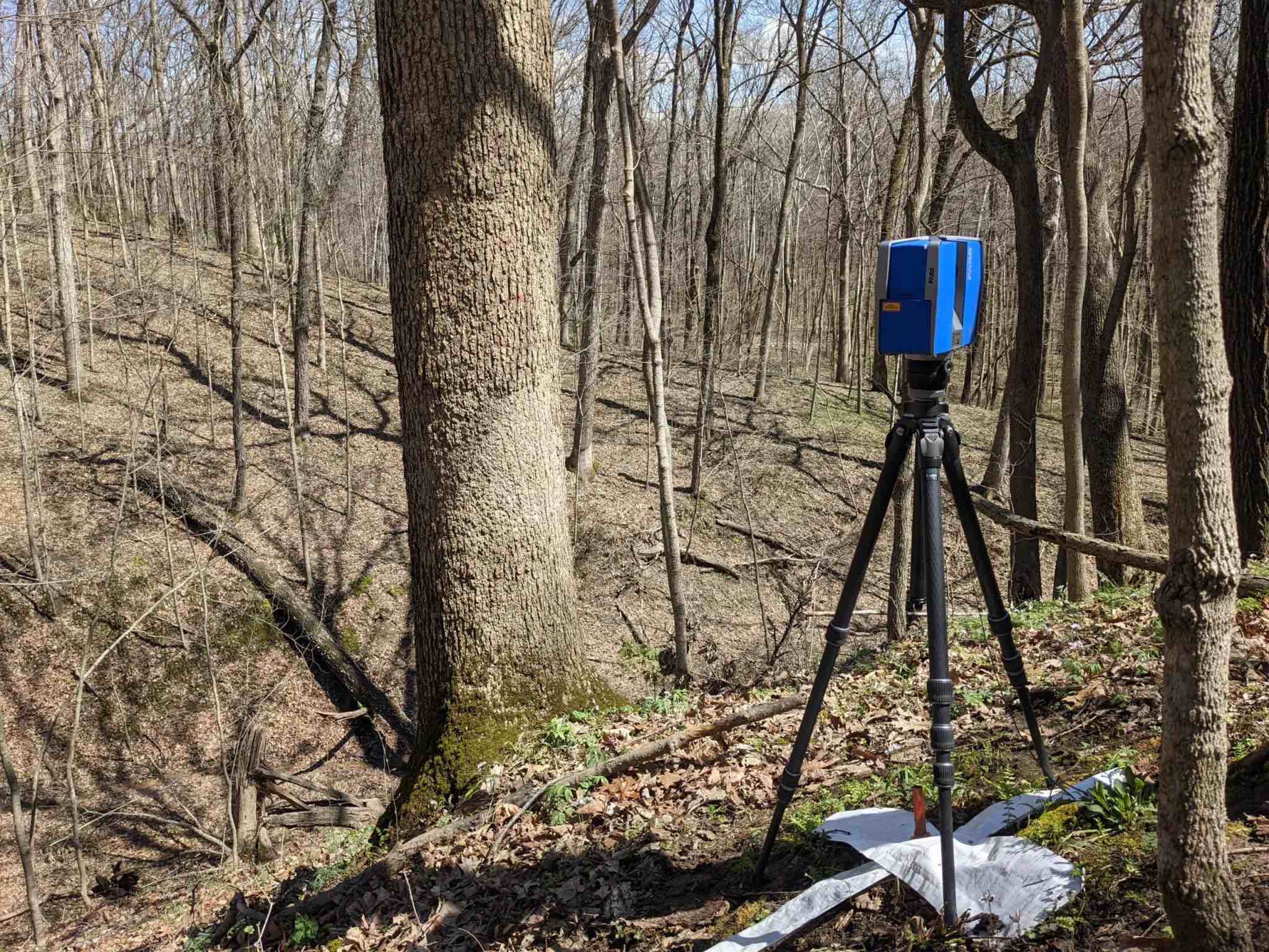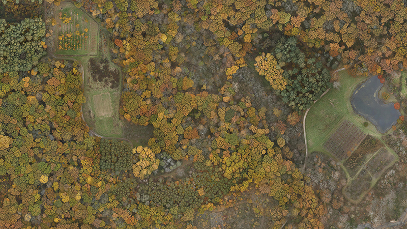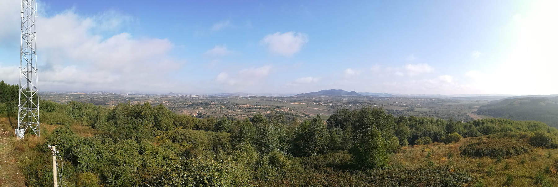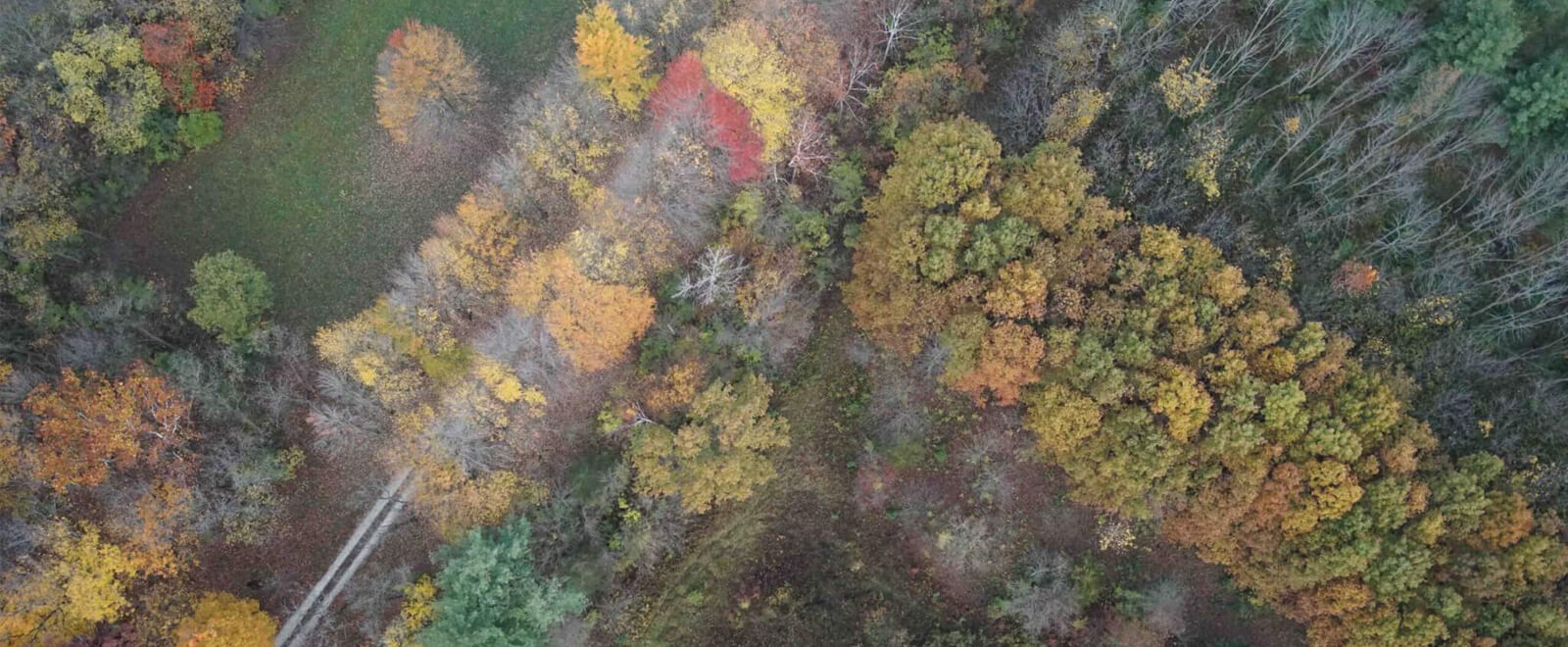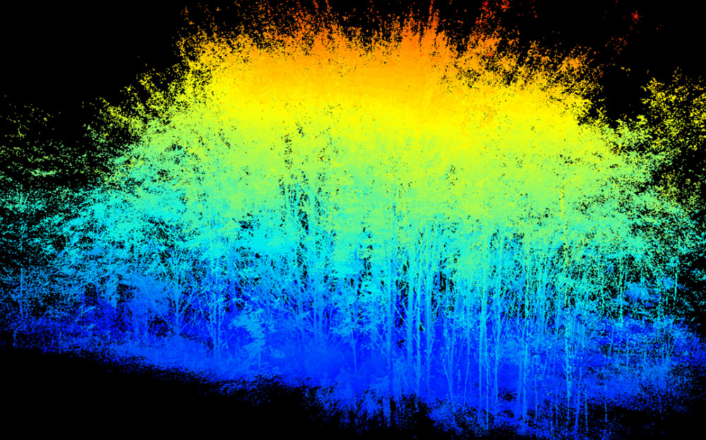

Forestry & Natural Resources
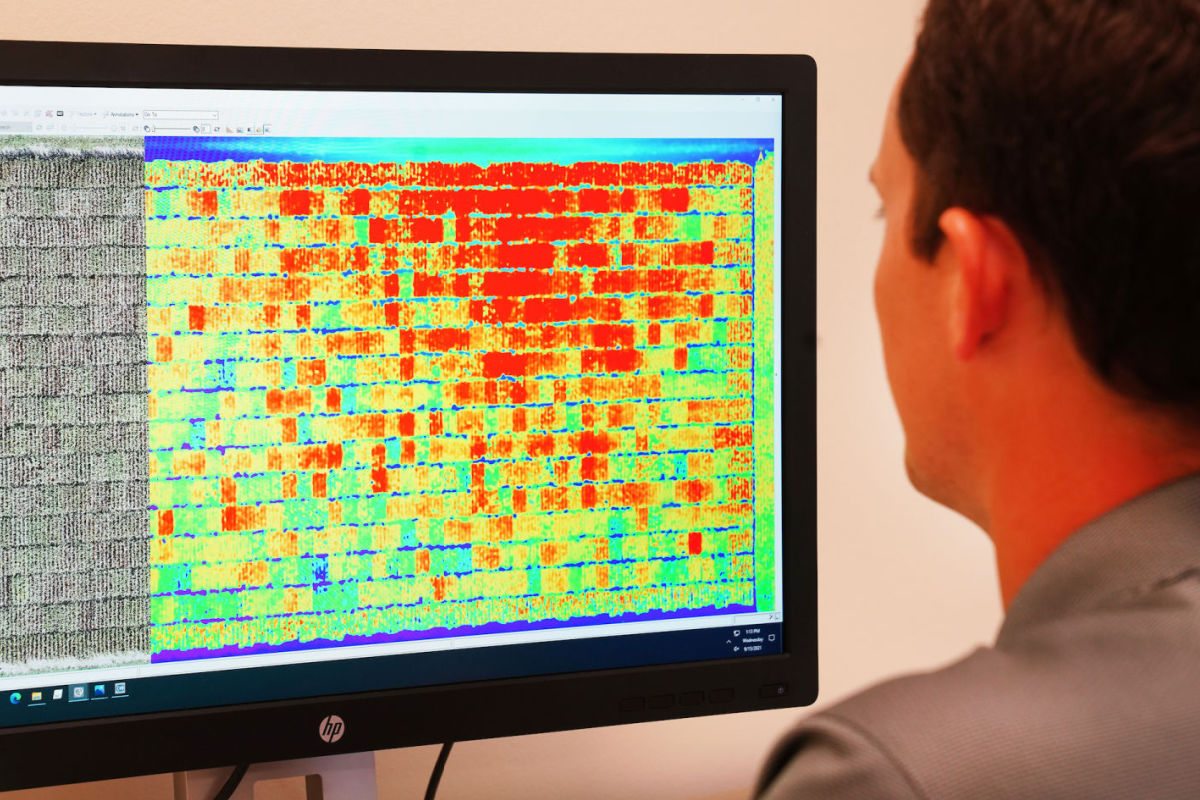
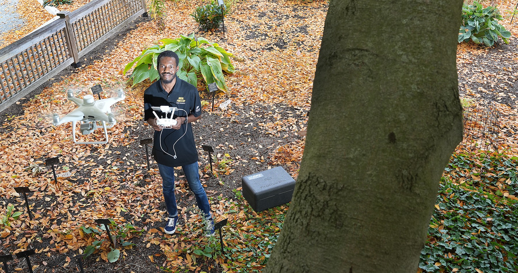
Digital forestry can help mitigate and prevent wildfires
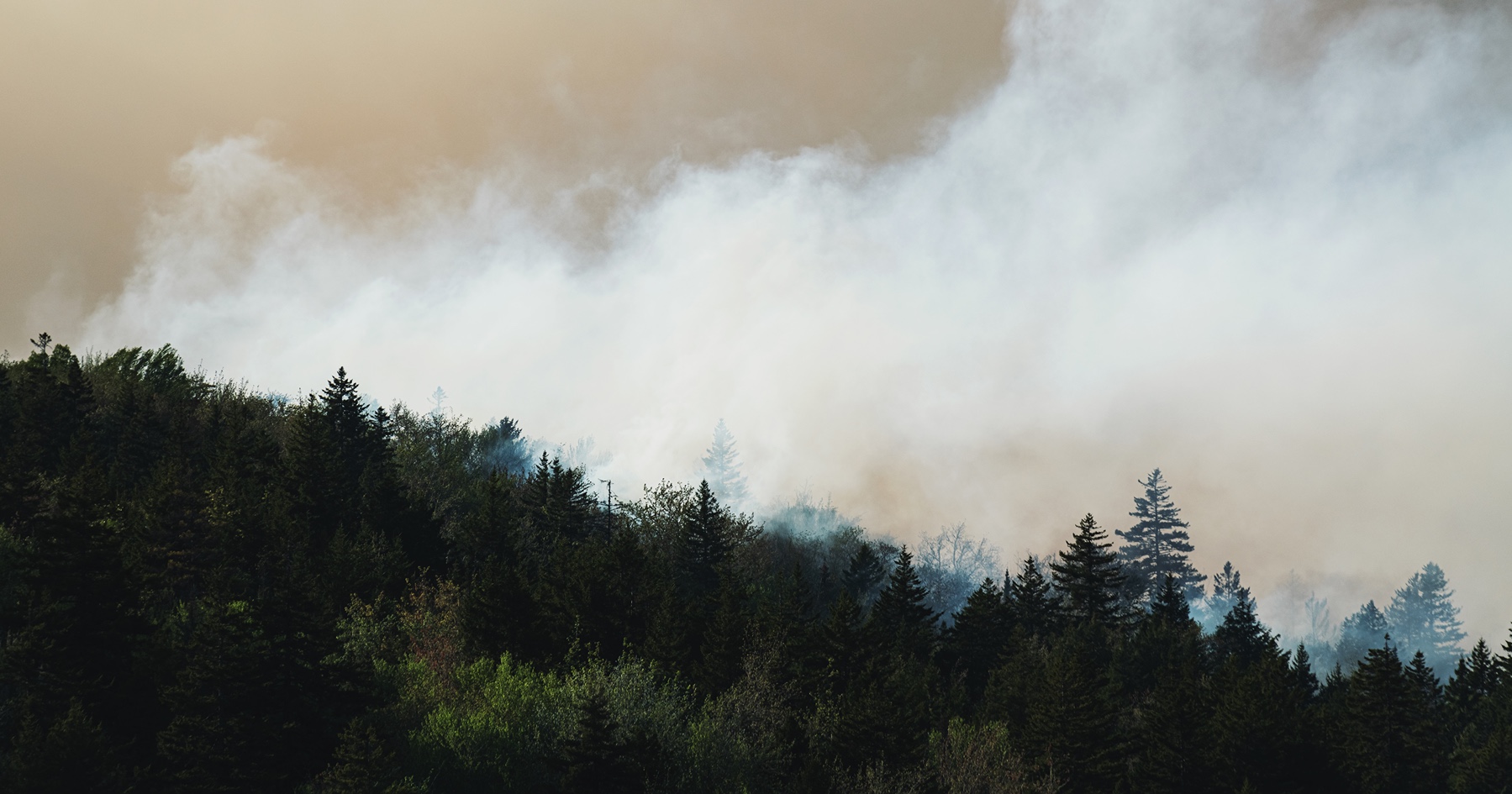
The National Interagency Fire Center reports that, as of this writing, 19,444 fires have burned 2,161,787 acres in the United States alone. Land...