

Understanding ground conditions before storms helps scientists predict heavy rains in monsoon regions
As heavy flooding events, including those in Houston, Texas, and Mumbai, India, continue, research teams from Purdue University and India have been working on improving the models that can help predict heavy rainfall from weather events.
The researchers found that including an improved representation of how hot and wet the land surface is before a storm forms gives significant information that leads to improvements in the prediction of heavy rain timing, location, magnitude and duration.
The study is led by Dev Niyogi, Indiana state climatologist and Purdue University professor of agronomy and earth, atmospheric and planetary sciences.
The study, a collaboration between researchers from the United States and India, is supported through the U.S. National Science Foundation, Indian Ministry of Earth Sciences National Monsoon Mission and the Indo-US Science and Technology Foundation. It was designed to improve thunderstorm and rainfall simulations over the Indian monsoon region. Niyogi said that thunderstorms and heavy rains are often embedded in larger storm clusters as part of the monsoon rains, making their prediction an ongoing challenge.
“The majority of the research being done on monsoon rainfall focuses on understanding and modeling large-scale meteorological settings, specifically oceanic patterns and influences,” Niyogi said. “This study shows that, just as oceanic processes are important for large-scale monsoon features, incorporating soil moisture and land status can provide improved predictability for the regional thunderstorm clusters and rainfall within these storms.”
Niyogi said the modeling framework has been developed for applications in different parts of the world, following initial testing and application in the United States.
“For India, we know that the monsoon rains are driven by large-scale processes and we were initially skeptical of improvements we will see in the forecasts by improving local land conditions,” Niyogi said. “Yet, evidence from work in the United States and the theoretical considerations suggested that improved land representation can help improve the simulation of the regional storms and associated energetics, so these modeling experiments were undertaken. We find that land does affect and influence the timing, location, intensity and duration of heavy rain events. Improving the land state therefore directly helps improve the rainfall prediction, especially for hazardous, heavy rain situations.”
The study found that taking available satellite and surface observations within a so-called “Land Data Assimilation System (LDAS)” framework was able to provide the land surface state before storms are formed. Including this information in the weather forecast models led to improvements in the regional atmospheric heating patterns, wind circulation and cloud predictions. As a result, the enhanced model could efficiently predict where and when these thunderstorms and heavy rain bands would occur.
The Indian monsoon region experiences frequent and often damaging thunderstorms. Meteorologists continue to search for ways to forecast them more accurately, the study said. Urbanization and changing agricultural practices have also altered the land’s heating and airflow patterns, meaning that predictions based on older baseline data do not reflect regional land characteristics.
“Realistic land conditions need to be considered in the weather forecast models to help improve our forecasting capabilities for thunderstorms,” Niyogi said. “We developed high-resolution data sets with information about soil moisture and temperature, which were not available before, and found that introducing this information can improve thunderstorm predictions.”
The model does have some limitations, Niyogi noted. While the LDAS-improved weather model was more sensitive to short bursts of rain, it also tended to overestimate rainfall under certain conditions. On the other hand, the model underpredicted the development of thunderstorms in regions with complex topography. Future work will focus on improving the model’s inputs to make predictions more realistic and accurate using a variety of newly available satellite datasets both from the United States and India, Niyogi said.
The next step for Niyogi’s team is to make a gridded climatology of soil moisture, soil temperature fields that can be used for weather forecasts and flood or drought assessments.
“The goal is to continue developing these datasets and translate our findings into tools that help day-to-day forecasting,” Niyogi said. “Simply put, the partnerships between Purdue and Indian researchers continue to use new data, scientific understanding and computational tools to take the collective knowledge and develop solutions for some of the most pressing challenges that confront societal well-being.”
The models and the improved science do not limit themselves to a region and are globally transferable to improve models that help improve storm forecasting in India as well as in the United States, Niyogi said.
Featured Stories

It’s a field she knows well, a field she has run up and down countless times. Now she is...
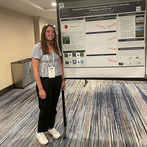
Sarah Grimes’ work in the Pijanowski lab focuses on how sustainable management practices at...
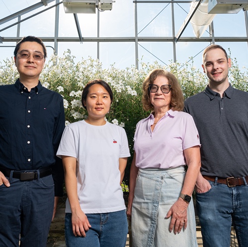
Land plants have spent nearly half a billion years honing a vast array of metabolic skills that...

Senior Sam Lillie provides a recap of the Week 3 action during the Sustainable Natural Resources...
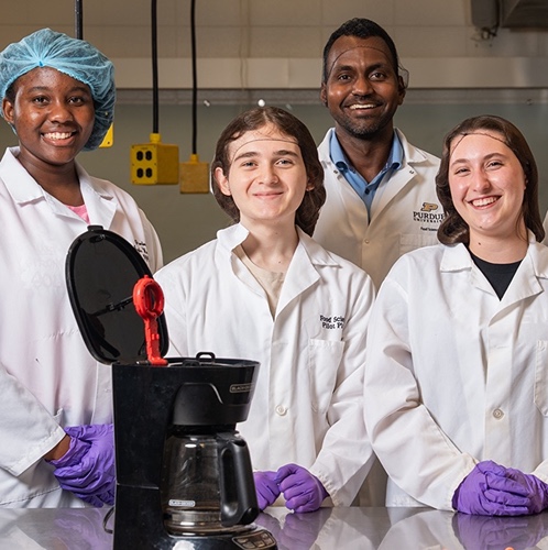
Coffee makers are everywhere — from kitchens to office break rooms — brewing up...
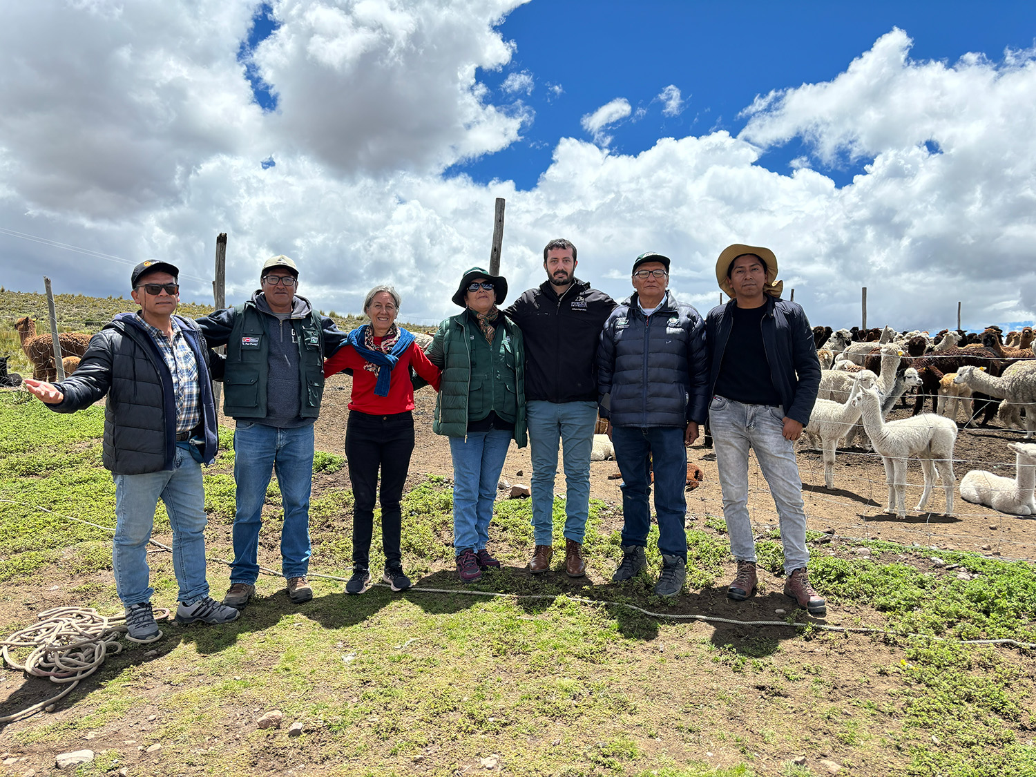
Global partnerships strengthen Purdue animal genetics research.