

Another warm winter? State climatologists say it depends on La Niña
According to the latest seasonal outlook from the Indiana State Climate Office based at Purdue University, Hoosiers could be in for a repeat of last winter, when a weak La Niña system fizzled early in the season and unusually mild conditions prevailed during the last half of January and February.
But Dev Niyogi, state climatologist, suggests keeping the scarves and mittens handy - just in case.
“El Niño or La Niña cause notable shifts in weather patterns and Indiana will see those effects again,” he said.
Like last year, a weak La Niña system is expected to influence weather throughout the Midwest in the coming months. According to the National Weather Service Climate Prediction Center (CPC), a typical La Niña winter in Indiana brings above normal precipitation. Temperature patterns, however, are more difficult to predict.
“The big question is how long this La Niña will last and how strong it will be,” said Ken Scheeringa, associate state climatologist. “Last year it was a weak system and it was finished in early January.”
Scheeringa said factoring in La Niña makes forecasting this winter’s weather more difficult.
“We rely on records from previous La Niña winters for future projections,” he explained. “Based on those observations, there was a pretty strong signal that precipitation would be higher, but there was no strong pattern indicating what kinds of temperatures we could expect.”
Recent La Niña winters in Indiana include 2007-2008, 2010-2011 and 2011-2012, as well as last year.
Central Indiana experienced an unseasonably mild stretch starting in the last two weeks of January 2017, followed by the warmest February on record with temperatures 10 to 13 degrees above average in the region. Precipitation during the period was below normal, indicating the influence of the La Niña system had waned.
A similar pattern could be in store for 2018, but if this year’s La Niña turns out to be stronger or more persistent than initially thought, Hoosiers could be in store for snowier conditions.
That could be good news for producers of winter wheat, which requires a blanket of snow cover to protect it from cold temperatures.
A video of Niyogi and Scheeringa discussing Indiana’s winter weather outlook is available at https://youtu.be/jx-wGUc-V1o.
The CPC forecast for December calls for equal chances of above, normal or below normal temperatures and precipitation. Average maximum daily temperatures in Indiana range from 35 degrees F in northern counties to 42 degrees in the south. Daily minimums typically range between 21 and 25 degrees statewide. Average precipitation varies from 2.4 inches in the northwest up to 3.4 inches in south central Indiana.
For January and February, the CPC forecast calls for above-normal precipitation with equal chances of above-normal, near-normal or below-normal temperatures.
The Indiana average maximum temperature for January ranges from 32 degrees F in northern counties to 39 degrees in the southern third of the state. Minimums average from about 17 to 22 degrees across the state. In February, typical maximum temperatures range from 36 to 44 degrees across the state, while minimums range from 20 degrees in northern Indiana to 25 along the Ohio River.
Normal winter precipitation in Indiana is about 2.9 inches in December, 2.2 inches in January and 2 inches in February. This includes normal melted snowfall equivalent amounts. Normal snowfall for the season can vary widely, from just 10 inches in extreme southwest Indiana to more than 70 inches in the South Bend area, where the lake effect is the greatest.
The Indiana State Climate Office is a partner in the Useful to Usable initiative, which offers an online tool enabling farmers and agricultural advisers to better assess how climate patterns in other parts of the world can influence local conditions and corn yields across the Corn Belt.
The Climate Patterns Viewer, co-developed by the climate office, can help growers make more informed farm management decisions during different phases of the El Niño and La Niña Southern Oscillation and Arctic Oscillation. It relates historical events of those phases to the effects of associated precipitation and temperatures over the course of a year.
“A shift in peak winter late into February or even March is not unlikely,” Niyogi said.
Featured Stories
It’s a field she knows well, a field she has run up and down countless times. Now she is...
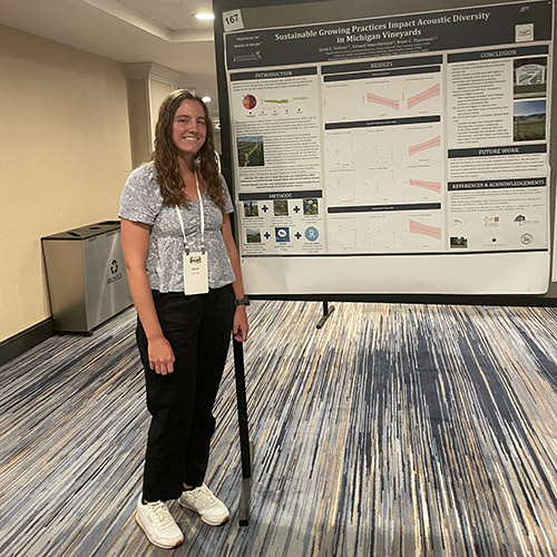
Sarah Grimes’ work in the Pijanowski lab focuses on how sustainable management practices at...
Land plants have spent nearly half a billion years honing a vast array of metabolic skills that...
Senior Sam Lillie provides a recap of the Week 3 action during the Sustainable Natural Resources...
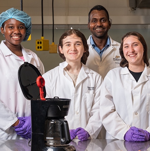
Coffee makers are everywhere — from kitchens to office break rooms — brewing up...
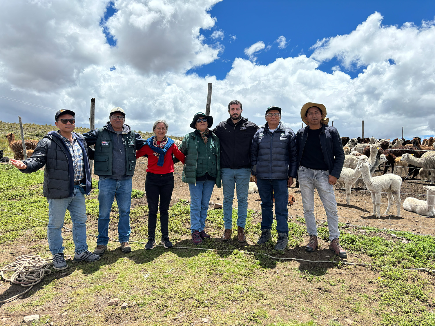
Global partnerships strengthen Purdue animal genetics research.