

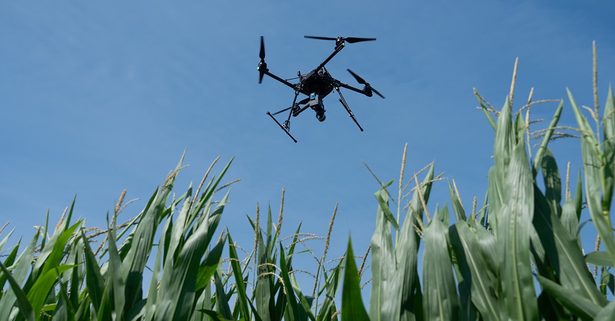
Digital Forestry: Aerial Remote Sensing
Songlin Fei, professor of forestry and natural resources; Joe Hupy, associate professor of aviation technology; and Jinha Jung, assistant professor of civil engineering, all of Purdue University, present a webinar titled Digital Forestry: Key Developments in Aerial Remote Sensing.
In this webinar, Fei, Hupy and Jung will share about key developments and applications of aerial remote sensing such as the application of aerial LiDAR for digital surface models, structure from motion with UAS based images, and feature extractions and inventory with cloud points.
View the webinar at https://youtu.be/HsvlvsTgRgE.
This work is part of Purdue’s Integrated Digital Forestry Initiative (iDiF) which is working towards developing platforms and strategies that leverage digital technology to measure, monitor and manage forests to maximize social, economic and ecological benefits. Visit https://purdue.ag/digitalforestry for more information.
Weekly Webinar Series
This weekly webinar series featuring experts in data science and digital agriculture at Purdue University kicked off on Feb. 4 and concluded on May 13. The Data Driven Agriculture webinars explored ways digital agriculture and data science can impact agriculture today and into the future. See the full playlist of past webinars on Purdue Ag’s YouTube Channel.
This series was hosted by Purdue College of Agriculture and supported in part by the Wabash Heartland Innovation Network (WHIN).
Digital Agriculture Posts
Even if you don’t know much about beef or dairy production, if you imagine a ranch or a...
On any given day in Indiana, you will find farmers checking weather apps before sunrise,...
Keeping records of events, transactions, and important activities can be simplified using digital...

Herd records (breeding, pregnancy checks, births, weaning, treatments, etc.) have value from...
Purdue Agriculture researchers are harnessing the power of artificial intelligence (AI) and...
Purdue University’s College of Agriculture recently welcomed Ignacio Ciampitti, an...