

Research Presented at the World Soil Congress in Glasgow, UK
I presented my research, "Mapping of natural and artificial channel networks in forested landscapes using LiDAR data to guide effective ecosystem management" at the 2022 EGU General Assembly.
Download Poster View & Download Full Paper
Abstract
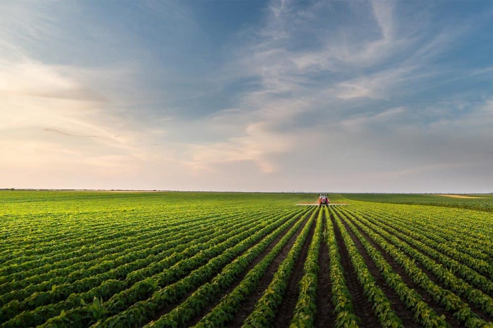
Monitoring the changes in soil organic carbon (SOC) pools is critical for sustainable soil and agricultural management. This case study models total and active organic carbon dynamics (2015/2016 to 2019/2020) using digital soil mapping (DSM) techniques. Model predictors include topographic variables generated from light detection and ranging data; soil and vegetation indices derived from Landsat satellite images; and soil and crop inventory information from Agriculture and Agri-Food Canada to predict total organic carbon (TOC) and permanganate oxidizable carbon (POXc) at the 0–15 cm depth increment for a 37 km2 study area in Truro, Nova Scotia. Quantile Regression Forest and stochastic Gradient Boosting Model were utilized for prediction. Although both models performed equally well for predicting TOC and POXc, the accuracy of TOC predictions (e.g., concordance correlation coefficient (CCC) = 0.67) was better than POXc predictions (e.g., CCC = 0.53). The Landsat variables and crop inventory were dominant predictors, while topographic variables across the relatively homogeneous terrain had relatively little influence. During the study period, changes in POXc were predicted across 98% of the study area, with a mean absolute loss of 5.77 (±11.48) mg/kg/year, and in TOC on 27% of the area, with a mean absolute loss of 0.15 (±0.09) g/kg/year. While the annual crop fields observed the highest loss of TOC and POXc, the decline in pasture–grassland–forage fields was relatively low. The study reinforced the effectiveness of DSM for modeling multiple SOC pools at the farm to landscape scales.
Related News
SLU Research Presented at EGU 2022
Use of multiple LIDAR-derived digital terrain indices and machine learning for high-resolution...
Highly variable performance of sustainable intensification on smallholder farms: A systematic review
Our research on soil organic carbon featured in Canada’s National Observer Newspaper and...
Our research featured in “Dal Research News” by Dalhousie University