Advancing Multi-Scale Remote Sensing Applications for Hardwood Forest Management
Advancing Multi-Scale Remote Sensing Applications for Hardwood Forest Management
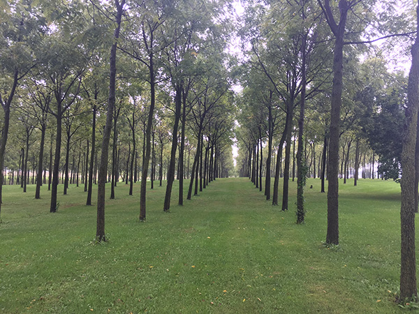
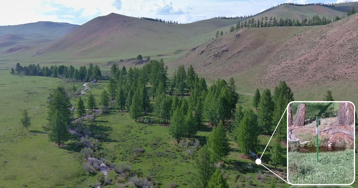
Hardwood forests are important timber sources and provide critical wildlife habitat, and their overall quality is closely related to management activities (Annand and Thompson 1997, Jenkins and Parker 1998, Morrissey et al. 2010). Forest management relies on spatially-explicit information on tree species composition and size structure. The conventional remote sensing data analysis is not effective enough to derive forest cover maps with sufficient information for forest management. The existing forest cover data in Indiana contain limited species information and no tree-size/age information. For example, the 1992 and 2001 National Land Cover Data classified all the hardwood forests into one forest type and are not useful for designing tree species/size-dependent sylviculture approaches. The land cover data developed by the Indiana Gap Analysis Project did not consider subclasses of hardwood forests either, and the overall accuracy of the map product was only 70.98%. When such low[1]accuracy forest-cover maps are used for forest management planning, actions may be unexpectedly misled due to error propagation (Shao et al. 2001&2003, Shao and Wu 2008). Therefore, it is important to obtain accurate forest cover maps with adequate forest-type and site-structure information. Such map products are broadly needed for intensive management of hardwood forest ecosystems, both publically and privately owned, in Indiana. Various remote sensing techniques have been extensively used in boreal and tropical forests but their applications in the central hardwood forest region are still limited. Our remote sensing experiment in Indiana will have broader implications to forest mapping in the central hardwood forest region.
Project Director: Guofan Shao
10/01/2019 - 09/30/2024
Learn More About Us
It’s 2 a.m. and you’re woken by a motorcycle revving its engine outside your house....
Dr. Abhinav Tyagi's past work has focused on applying genomics to wildlife conservation and...
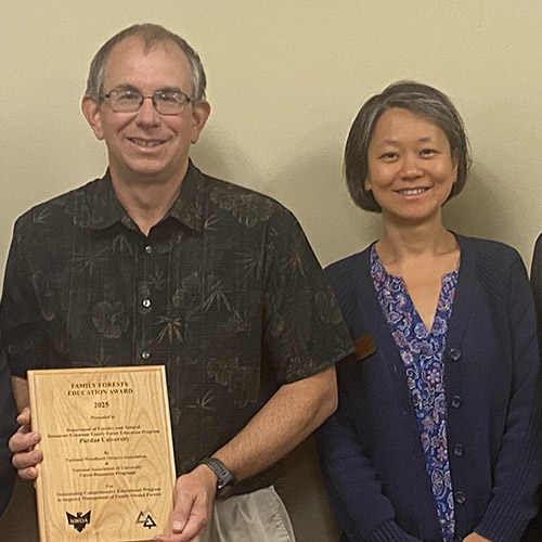
The Purdue FNR extension team was named as a recipient of the Family Forests Comprehensive...

Several FNR affiliated individuals garnered national attention for their research, teaching and...
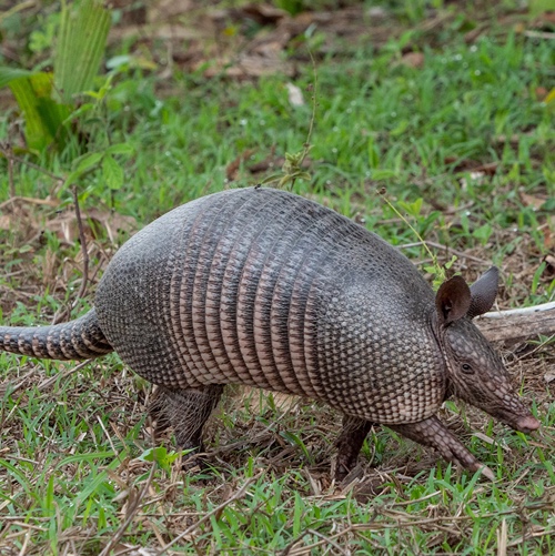
An armored mammal, once limited to the swamps and forests of the Deep South, is now burrowing its...
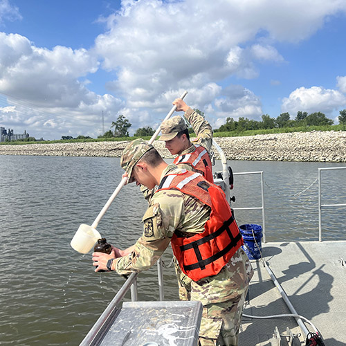
Austin Grant, a senior majoring in aquatic sciences with a minor in military science and...