

Studies show urbanization impacts storms, rainfall despite surroundings
Two Purdue University studies show that urbanization changes storm patterns and rainfall amounts, highlighting the need for urban planning and infrastructure design that considers how the landscape will affect the weather.
In two separate papers, teams led by Dev Niyogi, Indiana state climatologist and professor in the departments of Agronomy and Earth, Atmospheric, and Planetary Sciences, studied storm patterns over the coastal megacity of Mumbai, India, and the mountainous city of San Miguel de Tucumán, Argentina, to determine how urban development affected storms in those regions. The Mumbai study was done in collaboration with the Indian Institute of Technology Bombay, while the study in Argentina was done with the University of Alabama in Huntsville.
The researchers expected to see that Mumbai’s added heat and buildings significantly disrupted storms. But they expected to see little impact in San Miguel de Tucumán since the terrain around the city is rugged, which likely makes the storms turbulent before they reach the city.
In Mumbai, Niyogi said, the urban landscape disrupted rainfall, creating pockets and ribbons of rain that would intensify downpours in some parts of the city. Mumbai and other Indian cities have experienced significant flooding in recent years, possibly exacerbated by the way the cities affect storms. The researchers also found the storms organize themselves over the city in clusters. This organization showed that meteorologists should focus on small, 100-kilometer-squared areas with rain gauges or satellite images to best model future storms.
The study, published in Nature - Scientific Reports, used satellite data to track storm patterns and model the ways in which Mumbai was altering those patterns. Niyogi said the results highlight the need to understand how sprawling urban landscapes will affect severe weather, helping inform flood monitoring efforts and future critical infrastructure decisions.
“Understanding how these storms are changing by interacting with a city helps improve forecasting,” Niyogi said. “But it also gives an idea about how infrastructure design will need to be considered since cities will change their own rainfall patterns. We may need to think about things like storm water drainage and the location of drains, for example. Certain parts of a city might receive more rainfall, and that could lead to flooding if proper planning isn’t considered.”
San Miguel de Tucumán’s urban development also influenced regional rainfall patterns, according to results published in the journal Geophysical Research Letters. Satellite data and models showed that urbanization resulted in 20-30 percent less precipitation downwind of the city and an eastward shift in precipitation upwind. Again, Niyogi said the effect cities will have on rainfall changes needs to be taken into account before large-scale developments continue in the mountain regions where water is already a scarce resource.
“Even in complex terrain, we see really significant changes coming from the effects of the city,” Niyogi said. “In the long term, as these mountain communities evolve and they try to balance development and water needs, their landscape changes will have a profound impact on water availability.”
Despite differences in each storm studied, precipitation in Mumbai and San Miguel de Tucumán both fell into fairly predictable patterns - ribbons or pockets of heavy rain in India and a skirting of the city in Argentina.
“These are very complex environments, yet we see that these storms beautifully organize themselves into nice structures that we can understand,” Niyogi said. “Almost everything around us seems chaotic and unpredictable, yet we see these patterns emerge in the natural systems. That means that we don’t need to study every storm in every situation. Solutions can emerge from snapshots of our understanding and perhaps have universal validity. This similarity helps develop models and guidance that can have broad utility as we design prediction systems for the next generation of cities and their infrastructure.”
The National Science Foundation Division of Atmospheric and Geospace Sciences, Indian Ministry of Earth Science National Monsoon Mission, the U.S. Department of Agriculture National Institute of Food and Agriculture, and the Indo-U.S. Science & Technology Forum supported the research.
Featured Stories

It’s a field she knows well, a field she has run up and down countless times. Now she is...
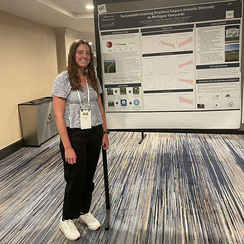
Sarah Grimes’ work in the Pijanowski lab focuses on how sustainable management practices at...

Land plants have spent nearly half a billion years honing a vast array of metabolic skills that...

Senior Sam Lillie provides a recap of the Week 3 action during the Sustainable Natural Resources...

Coffee makers are everywhere — from kitchens to office break rooms — brewing up...
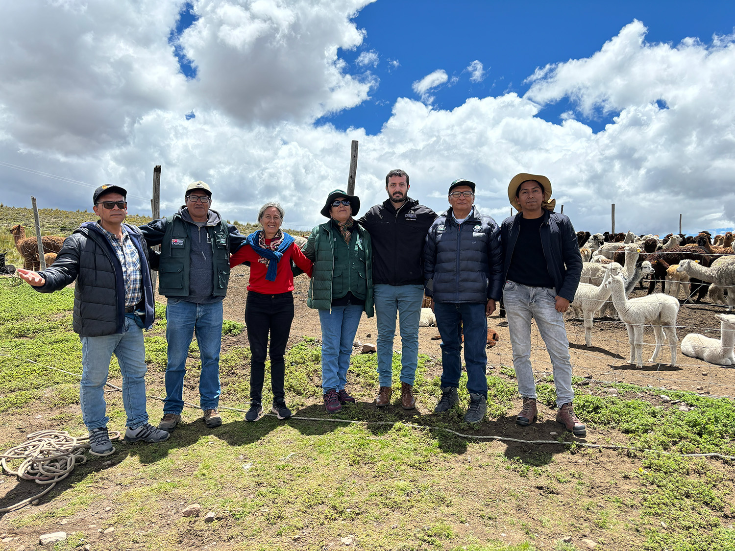
Global partnerships strengthen Purdue animal genetics research.