

Integration leads to leap in tech for forest inventory, management
Through integration of aerial and ground-based mobile mapping sensors and systems, a team of Purdue digital forestry researchers has used advanced technology to locate, count and measure over a thousand trees in a matter of hours.
“The machines are counting and measuring each tree – it is not an estimation using modeling, it is a true forest inventory,” said Songlin Fei, the Dean's Remote Sensing Chair and professor of forestry and natural resources and leader of Purdue University’s Digital Forestry initiative. “This is a groundbreaking development on our path to using technology for a quick, accurate inventory of the global forest ecosystem, which will improve our ability to prevent forest fires, detect disease, perform accurate carbon counting and make informed forest management decisions.”
The technology uses manned aircraft, unmanned drones, and backpack-mounted systems. The systems integrate cameras with light detection and ranging units, or LiDAR, together with navigation sensors, including integrated global navigation satellite systems (GNSS) and inertial navigation systems (INS). A Purdue team led by Ayman Habib, the Thomas A. Page Professor of Civil Engineering and head of Purdue's Digital Photogrammetry Research Group who co-led the project with Fei, designed and created the systems.
“The different parts of the systems take advantage of the synergistic characteristics of acquired data to determine which component has the most accurate information for a given data point,” Habib said. “This is how we can integrate small-scale and large-scale information. One platform alone cannot do it. We needed to find a way for multiple platforms and sensors – providing different kinds of information – to work together. This gives the full picture at extremely high resolution. The fine details are not lost.”
A machine-learning algorithm developed by the team to analyze the data is as important as the custom autonomous vehicles they created. The findings of a study using their technology are detailed in a paper published in the journal Remote Sensing.
“This system gathers a variety of information about each tree, including height, trunk diameter and branching information,” Habib said. “In addition to this information, we maintain precise location and time tags of acquired features.”
The result is like giving a person much-needed glasses. What was once blurry and uncertain becomes clear. Their vision is improved and, in turn, so is their understanding of what they see.
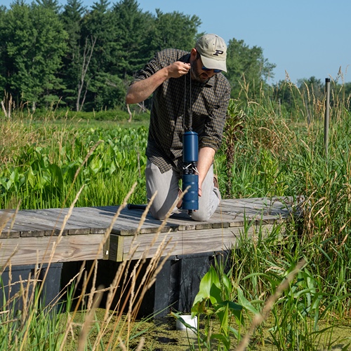
LiDAR works like radar, but uses light from a laser as the signal. LiDAR sensors evaluate the range between the scanning system and objects using the time it takes the signal to travel to objects and back to the sensor. On drones, planes or satellites it takes measurements from above the tree canopy, and on roving vehicles or backpacks it takes measurements from below the canopy. The aerial systems have continuous access to GNSS signal to pinpoint the sensor location and orientation after GNSS/INS integration and provide reasonable resolution. Ground-based systems, on the other hand, provide more details and finer resolution, while suffering from potential GNSS signal outages, Habib said.
“This multi-platform system and processing framework takes the best from each to provide both fine details and high positional accuracy,” he said.
For instance, if the backpack is in an area with poor access to GNSS signal, a drone can step in and put that data in the right place, he said.
“It is a breakthrough in applying novel geomatics tools to forestry,” Fei said. “It is solving a real and pressing challenge in fields such as agriculture and transportation, but it also is amazing engineering and science that will be applied beyond one arena.”
As the different platforms work together, the system also is identifying data points from each that equate to the same tree characteristic. Eventually it could correlate and discover what above canopy data means in terms of what is happening below canopy, Habib said. That would be a giant leap in the speed and area of forest that could be covered.
Featured Stories

Channing Arndt, research professor in agricultural economics and director of the Global Trade...
Daniel Szymanski and his former postdoctoral scholar Youngwoo Lee, lead author on their paper...
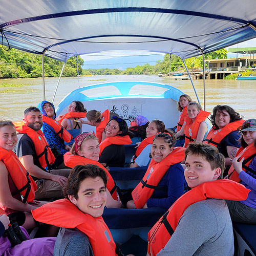
The Costa Rica Rainforest Experience study abroad trip allowed students to experience the wonders...
Trask is writing a new narrative about rats, birds and people as he pursues his doctorate in...
Several Forestry and Natural Resources students, staff and recent alumni have been recognized for...
A plume of contamination spreads underground. A building's foundation weakens. A wetland...