Top Midwestern weather events in 2023
From winter tornadoes to Canadian wildfire smoke, the Midwest experienced some record-breaking weather events in 2023. Climatologists with the Midwestern Regional Climate Center, a partnership with the National Centers for Environmental Information and Purdue University, identified ten of the most memorable and impactful of the year.
NEw year brings unseasonal tornadoes
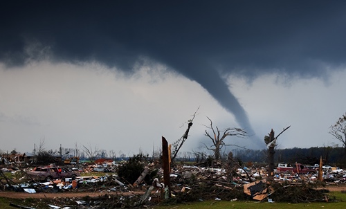
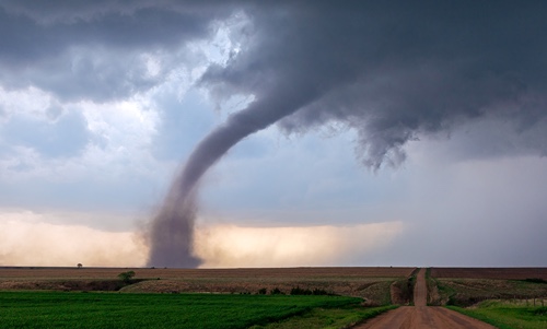
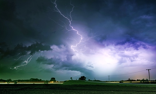
The year started off with tornadoes—yes, in January—on five separate days. Nine tornadoes on Jan. 3 set a single-day January record in Illinois. On the 16th, Iowa had its first January tornadoes since 1967. In Kentucky, several tornadoes damaged buildings and downed trees.
tornadoes and snow at the same time?
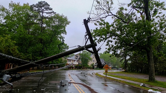
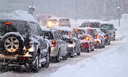
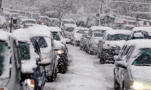
A strong cold front moved across the Midwest on March 31, spawning severe storms and blizzard conditions. The National Weather Service confirmed 139 Midwestern tornadoes along with 10 fatalities, over 75 injuries, and widespread destruction. An EF4 tornado hit southeast Iowa with wind speeds of 170 mph, and Indiana had its first tornado-related fatality since 2012. Meanwhile, blizzard warnings plagued southern Minnesota and western Wisconsin; high winds and heavy, wet snow caused widespread power outages. Northern Wisconsin and Michigan’s Upper Peninsula measured upward of 20 inches of snow.
Vastly different winter experiences
Midwest snowfall totals were on the opposite ends of the spectrum for the 2022-2023 snow season. With over 140 inches, Duluth, Minnesota, set a snow season record. Surprisingly, more than half of Duluth’s record snowfall came in just two months, December 2022 (45 inches) and March 2023 (35 inches). Conversely, snow was lacking in the southern and eastern Midwest. Cleveland, Ohio, measured the third lowest snowfall in 130 years – just 22.7 inches.
Dust storm pileup in Illinois
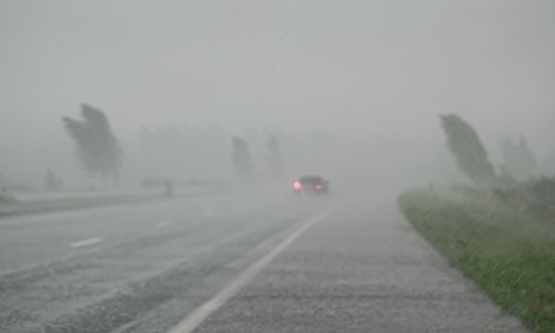
On May 1, sustained winds of 35 to 45 mph and gusts up to 54 mph kicked up dust from freshly tilled fields, bringing treacherous driving conditions along I-55 near Springfield, Illinois. Just before 11 a.m., Illinois State Police responded to a 72-vehicle crash on a two-mile stretch of I-55 in Montgomery County caused by the near zero visibility. The crash claimed the lives of 7 and injured 37.
Canadian wildfires cause poor air quality across the Midwest
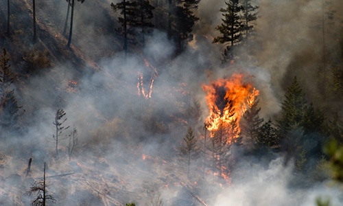
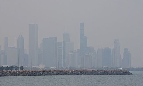
Historically large Canadian wildfires brought smoky and hazy conditions to the Midwest throughout the summer. The Air Quality Index (AQI) exceeded 101 (unhealthy for sensitive groups) nearly every day of June, with about half the days exceeding 151 (unhealthy). The worst air quality was measured on June 27 and June 28 when the AQI exceeded 201 (very unhealthy) across a large portion of the central Midwest, including areas near Madison, Chicago, Indianapolis, Detroit, and Cleveland.
July leaves Chicago soaked
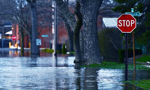
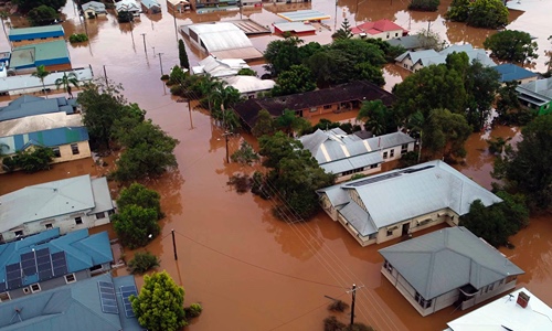
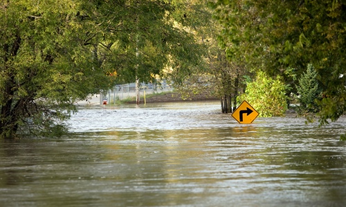
The Midwest’s most populated region was inundated with multiple rounds of severe storms in July, leaving Chicagoland with 7-12 inches of rainfall for the month. Chicago’s Midway Airport measured a record-setting 11.28 inches. One notable storm on July 2 dropped up to 8 inches on saturated ground, flooding major roads and railways, prompting water rescues, and canceling auto races and outdoor concerts.
Kentucky sets statewide rainfall record
Overnight on July 18-19, a wide swath of thunderstorms dumped 6-12 inches of rain across southeast Missouri, southern Illinois, and western Kentucky. Mayfield, Kentucky, which was still recovering from a major tornado, received 11.28 inches of rain in 24 hours, setting a new statewide record. These storms triggered flash flooding, water rescues, and infrastructure damage as local waterways rose several feet in less than 12 hours.
End of summer sizzle
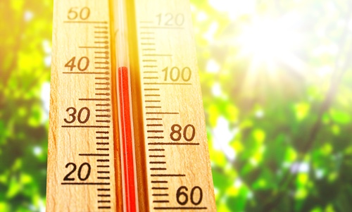
A late August heatwave brought most Midwestern cities their hottest temperatures of the year. Humidity was a huge factor, driving heat index values into the triple digits. In Kansas City, the heat index peaked at or above 115°F for a record five consecutive days. A heat index of 120°F at Chicago O’Hare on August 24 was the highest measured since records began in 1946. The extreme heat led to school closures, buckling pavement, livestock fatalities, and high energy demands across the region.
From dry to wet and back again
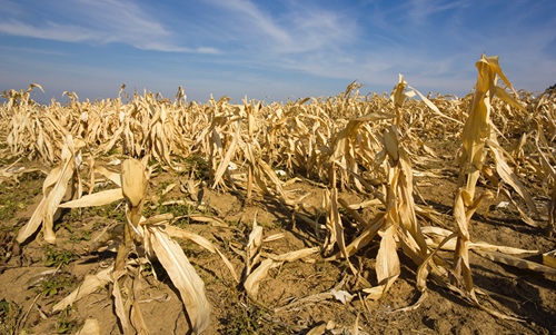
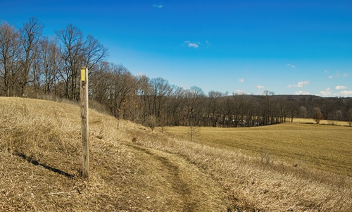
For the second year in a row, spring flooding along the Mississippi River gave way to summertime low flows as drought rapidly settled across the region. Drought peaked in late June with nearly 65 percent of the Midwest affected. By late summer, navigation restrictions limited barge loads, and more than a dozen dredges worked to maintain the navigation channel. While August brought some drought relief, it was short-lived. Dryness resurged during the fall, bringing elevated fire risk and reduced water levels.
The December that wasn't
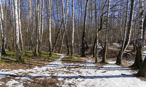
December brought limited glimpses of winter across the North Star State. Minnesota had record-shattering warmth that averaged 13.5°F above normal for the month. Record precipitation was also measured statewide, although it mostly fell as rain. Snowfall totaled less than half of normal for the month. These unprecedented conditions led to unsafe ice conditions, cancelled dog sled races, and early sprouting of trees and flowers.


