

2025 Top Midwestern weather events
From floods to fall drought to 20-foot icicles, the Midwest experienced some record-breaking weather events in 2025. Climatologists with the Midwestern Regional Climate Center, a partnership between the National Centers for Environmental Information and Purdue University, identified ten of the most memorable and impactful of the year.
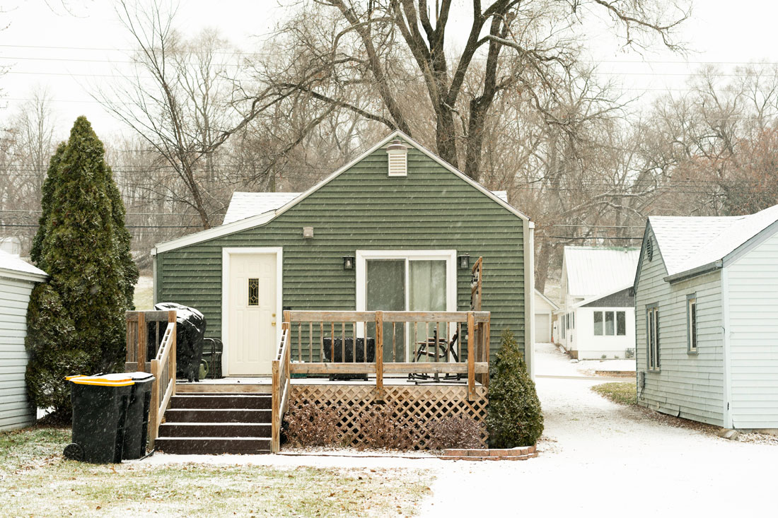
SNOW FOR SOME, SNOW DROUGHT FOR OTHERS
On the 5th and 6th, the first of many January storms brought snow, sleet and freezing rain across Missouri, southern Illinois and Kentucky. St. Louis and Louisville had nearly a foot of snow, while southern Illinois had over half an inch of ice. Schools closed for days, roads were icy for weeks and over 100,000 homes and businesses lost power. Meanwhile, Minneapolis and Madison both had a “snow drought,” with less than 6 inches of snow for the entire month of January.
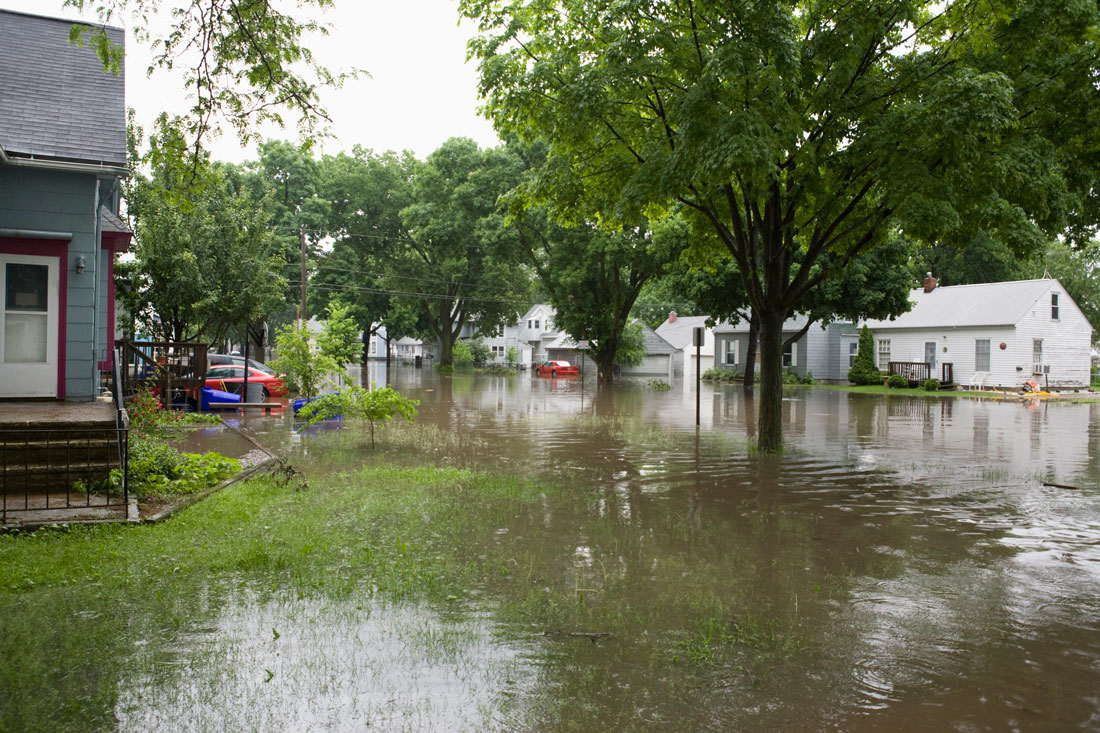
KENTUCKY ENDURES TWO DEVASTATING FLOODS
After 3 to 7 inches of rain fell across Kentucky on February 15–16, rapidly rising rivers caused widespread flooding, at least 24 fatalities and over 1,000 water rescues. Continuous storms again battered Kentucky April 2–6, with rainfall totaling 6 to 16 inches and the worst flooding in over 60 years, causing at least seven deaths. Both events brought significant mudslides and weekslong road closures.

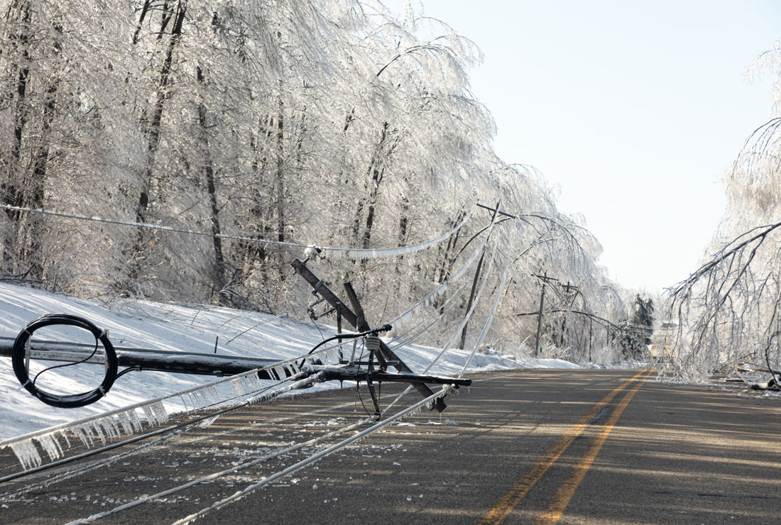
MICHIGAN’S WORST ICE STORM IN 50 YEARS
Freezing rain blanketed northern Michigan with up to an inch of ice from March 28–30, leaving many people without power and potable water for a week or more. The heavy ice collapsed transmission towers and downed power lines. Impassable roadways prevented the delivery of basic resources to the region. Record icing closed the Mackinac Bridge several times as 20-foot ice chunks fell from the bridge’s cables.

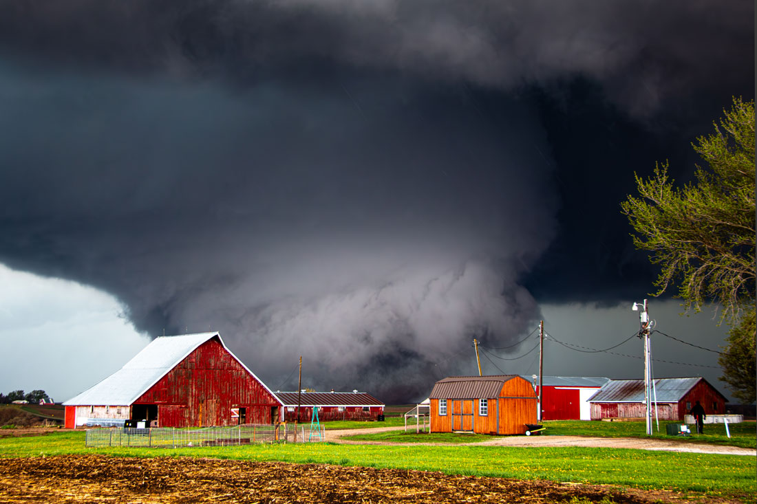
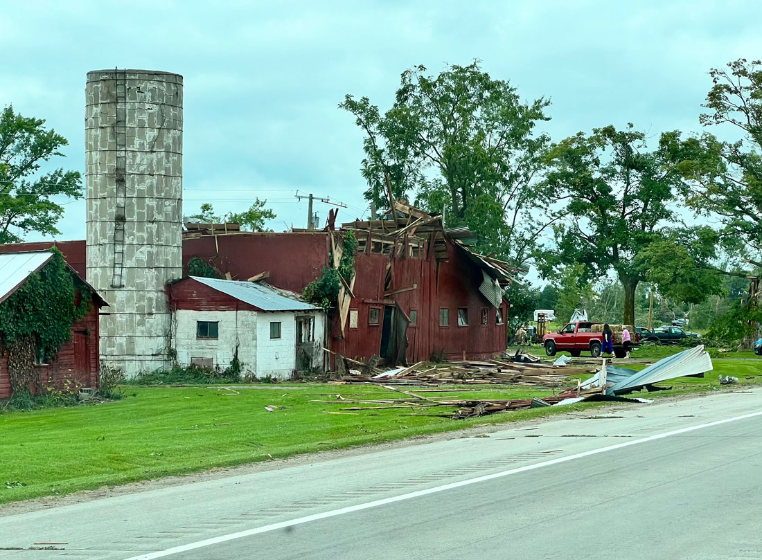
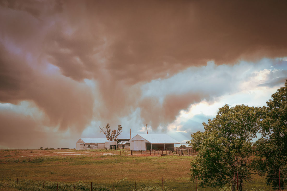
RELENTLESS TWISTERS
The Midwest had an active and deadly tornado season, with several large outbreaks including:
- March 13–15: 47 tornadoes, 12 fatalities
- April 2–3: 75 tornadoes, 1 fatality
- May 15–16: 47 tornadoes, 26 fatalities
- June 18: 21 tornadoes
Regionwide, the number of tornadoes was 55% above average. Illinois had over 100 tornadoes for the third consecutive year. Only Iowa had below-average tornadoes for the season.
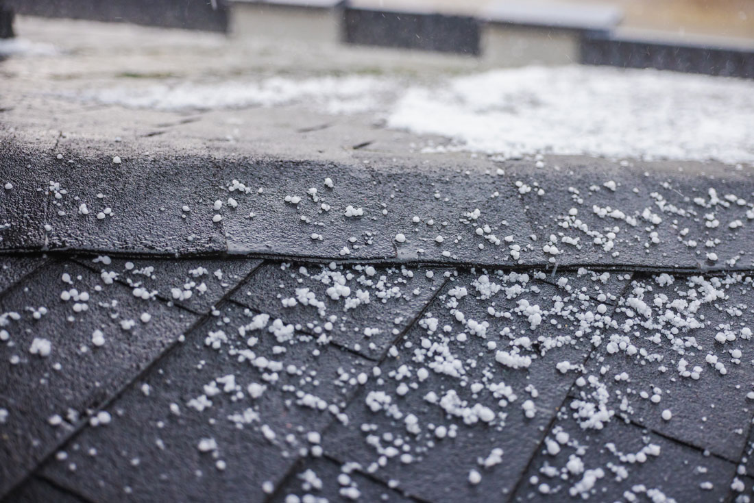
TORNADOES AND HAIL AND DUST, OH MY!
On May 16, severe storms and powerful winds swept across eastern Missouri, Illinois, Indiana, Kentucky and Ohio. At least 16 tornadoes touched down, including a long-track EF-4 in eastern Kentucky that killed 19 and an EF-3 that hit St. Louis, killing five and causing $1 billion in damage. The outbreak also produced giant hail, 60–90 mph winds, and a rare dust storm in northeast Illinois and northern Indiana — the region’s worst since the 1930s.
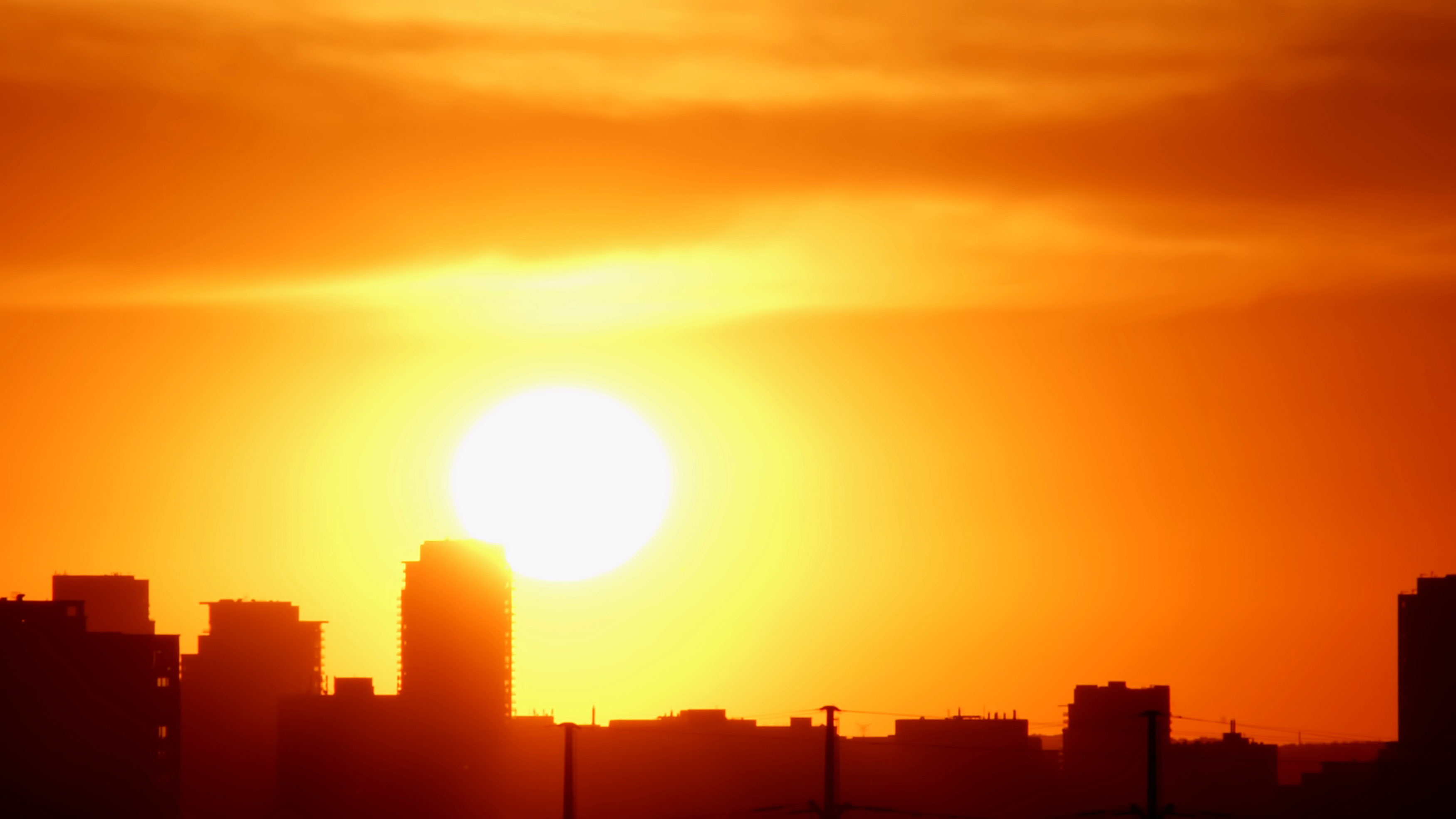
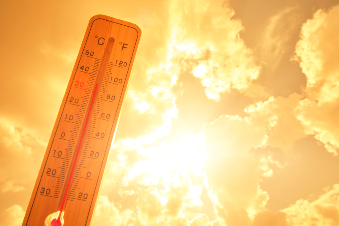
A HUMID SUMMER SIZZLE
The central and lower Midwest were locked into a hot, muggy air mass that lingered from mid-June to late July. Record humidity kept overnight temperatures at record-warm levels and drove daytime heat index values into the triple digits for multiple long stretches. Western Kentucky logged 10 consecutive days in late July where the heat index exceeded 110°F.

FLASH FLOODING IN SOUTHEAST WISCONSIN
A record-setting 8 to 16 inches of rain drenched the Milwaukee area August 9–10, causing flash flooding that stranded vehicles at the Wisconsin State Fair, along streets and in parking garages. Major interstate highways were closed due to flooding, and emergency responders conducted hundreds of rescues. Residential properties and public infrastructure sustained about $76 million in damages.


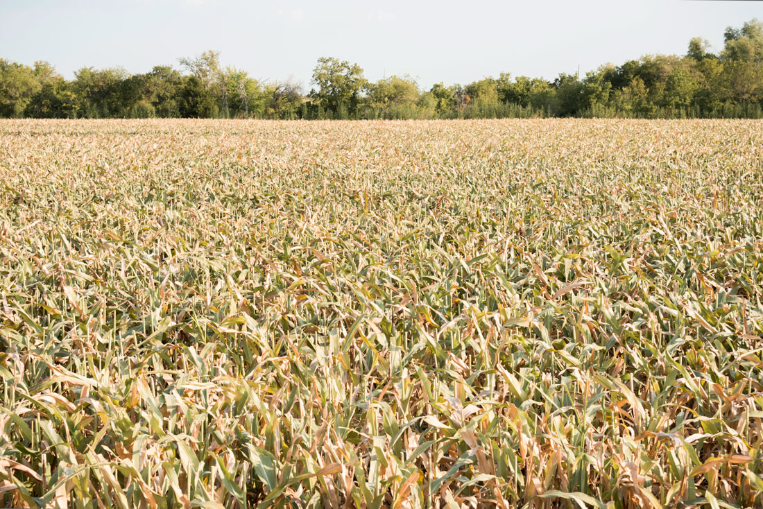
A DRY FALL EXPANDS RAIN DEFICITS
The Midwest shifted from dry to wet and back throughout 2025 — a pattern seen annually for several years now. After a dry start, conditions improved by midsummer, but the gains were short lived. Rainfall halted across the lower Midwest in August, and by October, over 75% of the region was abnormally dry or in drought. Areas from southwest Missouri to northwest Ohio experienced wildfires, dormant lawns, poor pasture quality and low water levels. Many areas are now 25+ inches below normal rainfall over the last five years.
WELCOME BACK THE WARMTH
After a cool start to September, the weather warmed up dramatically. By mid-September, temperatures in the 90s blanketed the entire region for days on end. Columbia, Missouri, had 7 consecutive days of 90°F temperatures in September, which has only happened two other times since 1980. Duluth, Minnesota, and Sault Ste. Marie, Michigan, both tied the record for the most days at or above 80°F in October. In Minneapolis, temperatures punched above 90°F in October for only the second time on record since 1871.

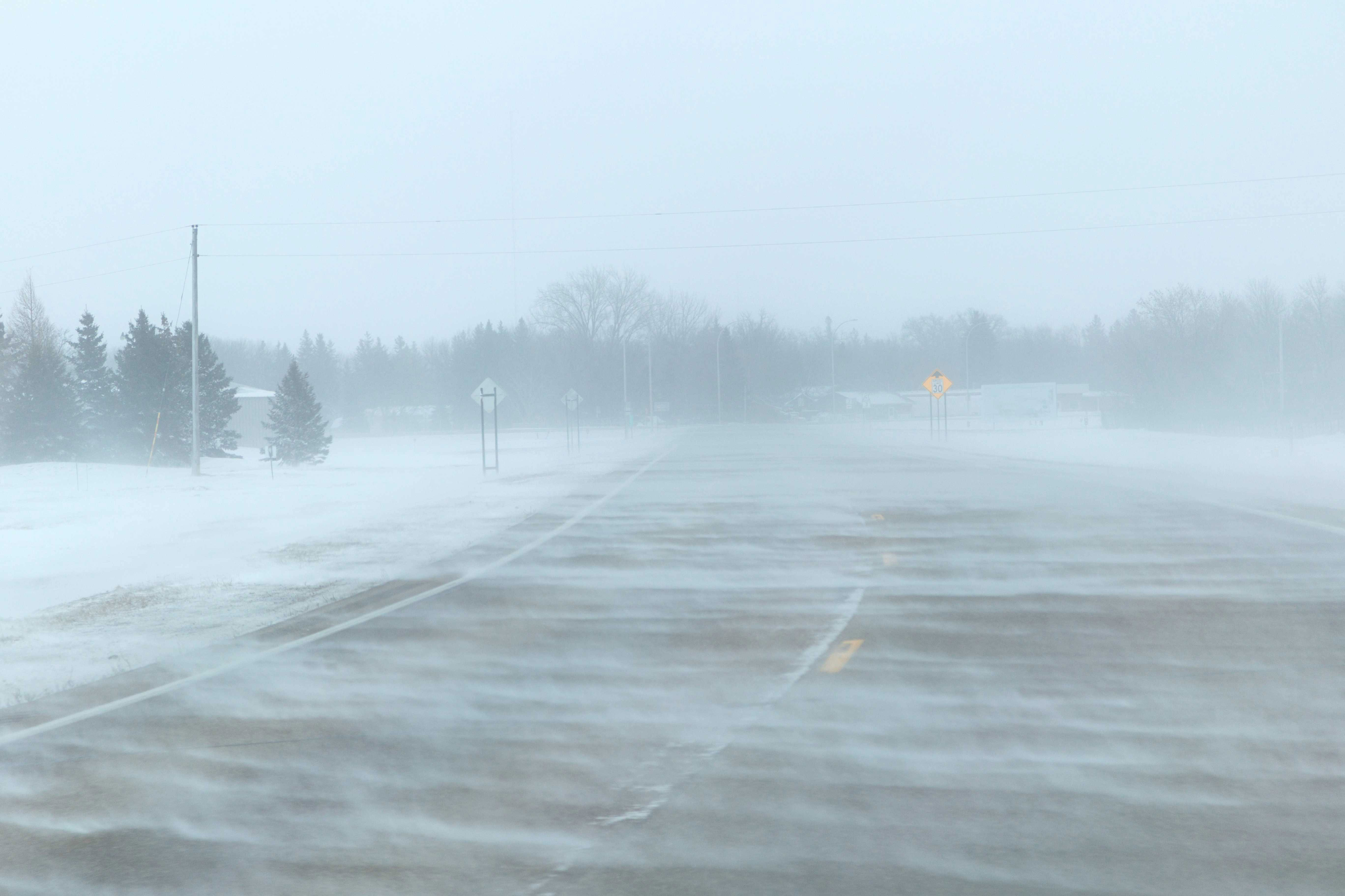
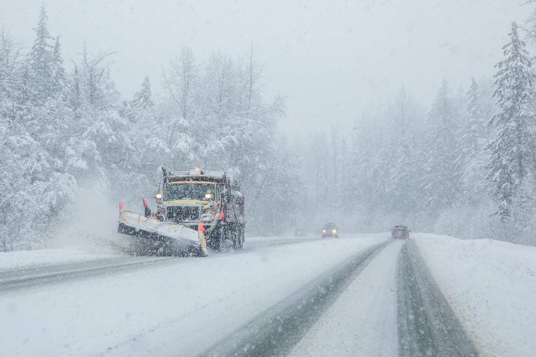
EXTREME START TO WINTER
Winter began aggressively across the Midwest, with repeated snowfalls and persistent cold rivaling notable early winters such as 1977 and 1989. November and December snowfall totals ranged from 10 to 50 inches, with many locations exceeding 300% of normal. On November 29, several cities recorded their highest single-day November snowfall on record, including Dubuque, Iowa, with 11 inches. The post-Thanksgiving storm caused widespread travel disruptions, delaying or canceling thousands of flights and forcing interstate closures due to hazardous conditions.

Featured Stories

By learning how to cut through the hype and focus on what truly matters, you can shop smarter...

Channing Arndt, research professor in agricultural economics and director of the Global Trade...

Daniel Szymanski and his former postdoctoral scholar Youngwoo Lee, lead author on their paper...

The Costa Rica Rainforest Experience study abroad trip allowed students to experience the wonders...

Trask is writing a new narrative about rats, birds and people as he pursues his doctorate in...

Several Forestry and Natural Resources students, staff and recent alumni have been recognized for...