

Study Improves Accuracy of Planted Forest Locations in East Asia
Spatial database achieves high-resolution detail
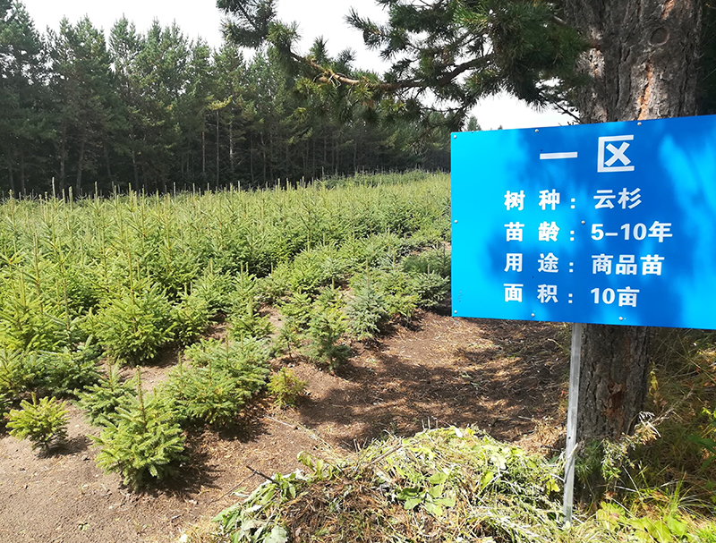
WEST LAFAYETTE, Ind. – An international team led by Purdue University scientists has created the first spatial database of planted forests in East Asia by combining data collected on-site and via satellite. Produced with the assistance of artificial intelligence, the database contains forest location maps at a resolution of one kilometer (six-tenths of a mile) and lists the most common tree species growing there, such as pine and eucalyptus.
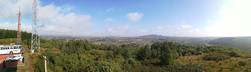
The Food and Agriculture Organization of the United Nations (FAO) estimates that East Asia holds 36% of the world’s planted forests. Africa, meanwhile, has 19%; Europe, 7%; and the United States, 9%. Within East Asia, 87.0% of planted forest is in China, followed by 11.1% in Japan, 1.0% in South Korea and 0.9% in North Korea.
Previous maps of East Asia’s planted forests covered only parts of the region spanning China, Japan, North Korea, and South Korea. And the data sources for those maps are inconsistent and unverified.
“We used an AI approach to help us understand a massive amount of data, measured both from the ground and also from remote-sensing sources,” said Jingjing Liang, associate professor of quantitative forest ecology at Purdue. “This study complements the research portfolio of the Institute for Digital Forestry with an international perspective, enriching our understanding of global forest ecosystems and their sustainable management.”
A collaboration consisting of Liang, lead author Akane Abbasi, a PhD student in forestry and natural resources, and 15 co-authors recently presented their results in the journal Scientific Data.
The project collaborators are members of Science-i and the Global Forest Biodiversity Initiative (GFBI). Science-i is a web-based platform involving more than 300 scientists worldwide. GFBI has built a database of 1.3 million sample plots and 55 million trees.
“At Land & Carbon Lab, we believe what gets measured gets managed,” said study co-author Nancy Harris, research director of Land & Carbon Lab and Global Forest Watch at World Resources Institute. “Our partnership with Purdue and FAO embodies our mission to deploy breakthroughs in geospatial monitoring that power solutions for sustainable landscapes. Seeing where these different types of forests are on a map revolutionizes the options for interpretation and decision-making that go beyond simply knowing how much forest is in a country.”
Integrating the various data sources was one of the project’s big challenges. The team started with data that came in different formats, types and spatial extents.
“Some data cover only China. Some data cover only Japan. Some data cover China and South Korea,” Abbasi said. One dataset based on satellite images covered China, Japan and South Korea but not North Korea. “They differ in spatial extent. They also differ in relatability in terms of whether it’s measured on the ground or from space.”
The researchers integrated data collected on-site, by satellite and through an approach called “ensemble machine learning.” This method entailed using AI to train three different machine learning models.
“The ensemble machine learning method is developed to account for imperfections in both data and the model,” said Liang, who also is co-director of the Forest Advanced Computing and Artificial Intelligence Lab (FACAI).
The team used the Bell Community Cluster at Purdue’s Rosen Center for Advanced Computing to process and analyze the massive amount of data involved in the project.
“When I say I study forest ecology, people assume that I go to the forest, measure something, then come back and analyze the data,” Abbasi said. “But this is not what we’re doing here. We deal with very large spatial extents, and we study nature using cutting-edge AI and machine learning.”
Scientists know from official, country-led estimates that East Asia by far contains the world’s largest proportion of planted forest, said study co-author Javier Gamarra of FAO. “Yet most of the region has traditionally tended to be less prone to follow open data policies about forest information, which makes the exercise of estimating such area particularly challenging,” he said.
The results confirm previous data shown by the FAO’s Global Forest Resource Assessment (FRA). “But in this case, we can obtain spatial locations of where forest plantations exist at small resolutions, something that FRA cannot show,” Gamarra said.
Gamarra lauded Purdue’s use of AI to combine data collected both via satellites and on the ground to produce robust estimates that could prove especially useful in making vast amounts of forest resource information widely available.
“In fact, FAO’s Forestry Division is actively collaborating with Professor Liang’s FACAI Lab and the World Resources Institute to expand the use of artificial intelligence to obtain ecozone-based estimates of forest growth across the globe,” he said.
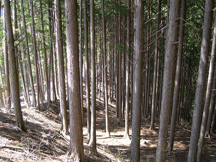
China has planted more forest in recent decades than any other nation, covering an area of more than 324,000 square miles. That area is greater than the square mileage of the states of Texas and New York combined. Japan and South Korea, meanwhile, planted many of their forests 50 or 60 years ago.
After World War II and the Korean War, demand was high for forest products, so people started planting forest plots. “That was a huge contribution to most of the planted forests in those countries,” Abbasi said.
Sandstorms regularly pelt Beijing, which stands less than 60 miles from the nearest desert. This has led the Chinese government to begin planting trees on sand dunes, a costly and labor-intensive process.
“Learning from what China did would be one thing we can do to help the world plant more trees to stem deforestation,” Liang said.
The co-authors include Purdue’s Ankita Mitra, a PhD student in forestry and natural resources; and Mohammad Jahanshahi, associate professor in the Lyles School of Civil Engineering.
This work received funding from the World Resources Institute and Purdue’s Department of Forestry and Natural Resources.
Writer: Steve Koppes
Media contact: Maureen Manier, mmanier@purdue.edu
Sources: Jingjing Liang, jjliang@purdue.edu; Akane Abbasi, aota@purdue.edu
Agricultural Communications: 765-494-8415;
Maureen Manier, Department Head, mmanier@purdue.edu
Featured Stories
Several Forestry and Natural Resources students, staff and recent alumni have been recognized for...
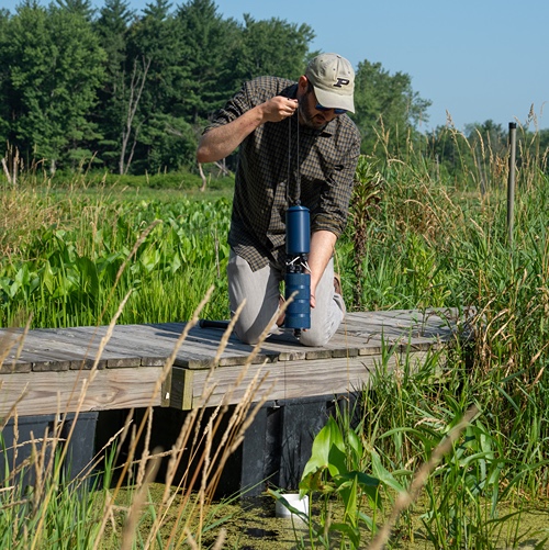
A plume of contamination spreads underground. A building's foundation weakens. A wetland...

Jarred Brooke, Extension wildlife specialist, was honored with a Career Achievement Award at the...
Sophomore forestry major Brett Cox recaps week 2 of the Sustainable Natural Resources study...

Morgan Hamilton, a rising senior majoring in aquatic sciences, has had an...
Throughout the 2026 Sustainable Natural Resources study abroad course in Sweden...