

Purdue online tool to help farmers make precision decisions, keep data private
An innovative online tool developed by a Purdue University engineering professor will allow farmers to process data collected from their fields without requiring them to share it with third-party companies.
“The Purdue Agricultural Data Engine (PADE) empowers farmers to derive value from the huge amounts of data they routinely collect,” said its developer, Dharmendra Saraswat, associate professor of agricultural and biological engineering.
PADE, which is free to use, is available at precision.ag.purdue.edu. It will help farmers make precision management decisions, Saraswat said.
Data gathered from harvesters can show high- and low-yielding sections of a field, and soil tests can identify variable pH and nutrient levels in the soil. Such data is valuable in precision agriculture because it signals to farmers where nutrient deficiencies exist, allowing them to determine which management practices may be helpful. Making sense of it, however, usually requires uploading the data to an online tool developed and owned by a company that then has access to it and may require payments. Farmers that operate as small businesses may be reluctant to share such data outside trusted circles. PADE will help them address these issues by combining ease of use with privacy of data.
Saraswat said numerous desktop-based and online tools currently available to farmers are different from one another, requiring significant time to learn how to use them.
“Big data is something that is becoming an issue in agriculture, but one thing seems to have not changed in all this while,” Saraswat said. “Farmers are cooperative yet conservative. They don’t want to be a part of a situation where, on one hand, they are sharing their trade secrets but on the other hand also making payments to get insights of their own data.”
PADE does not require users to log in or identify themselves or their farms. Users simply upload data to create bar charts, scatter plots and maps to visualize the data. One of the functions allows them to draw shapes in the farm ‑ that represent areas with special varieties or nutrient treatments ‑ to reveal average yields and area-related information. They also can obtain soil data from the Soil Data Access portal of the U.S. Department of Agriculture (USDA) Natural Resources Conservation Service and historical weather information from the National Weather Service to learn how soil variability, temperature and precipitation are affecting their soils or crops. Farmers also can create management zones based on variability expressed in the yield data and thus manage their farms better.
“Once users have created their maps or manipulated the data, they can download all of it to their computers,” Saraswat said.
Jeff Boyer, superintendent of the Davis Purdue Agricultural Center, helped Saraswat fine-tune the final product. Boyer said the tool can help Purdue scientists analyze site-specific data from field research throughout the state.
“Within the university system, we’ve needed something like this for a long time because we’re always creating large datasets,” Boyer said. “We can generate mounds of data and pretty maps, but if you’re going to be able to use any of that, you have to analyze it, look at it area by area in a field and look for trends, which this tool can do.”
Featured Stories
It’s a field she knows well, a field she has run up and down countless times. Now she is...
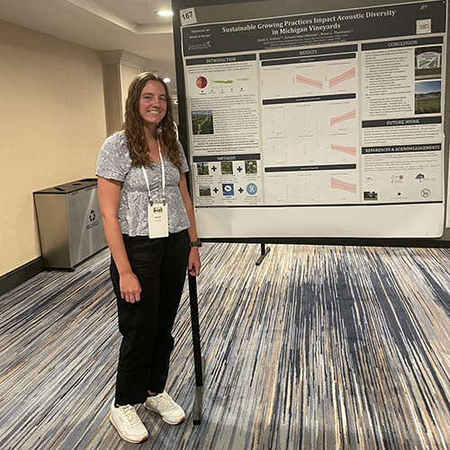
Sarah Grimes’ work in the Pijanowski lab focuses on how sustainable management practices at...
Land plants have spent nearly half a billion years honing a vast array of metabolic skills that...
Senior Sam Lillie provides a recap of the Week 3 action during the Sustainable Natural Resources...
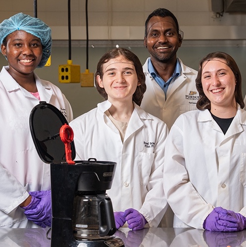
Coffee makers are everywhere — from kitchens to office break rooms — brewing up...
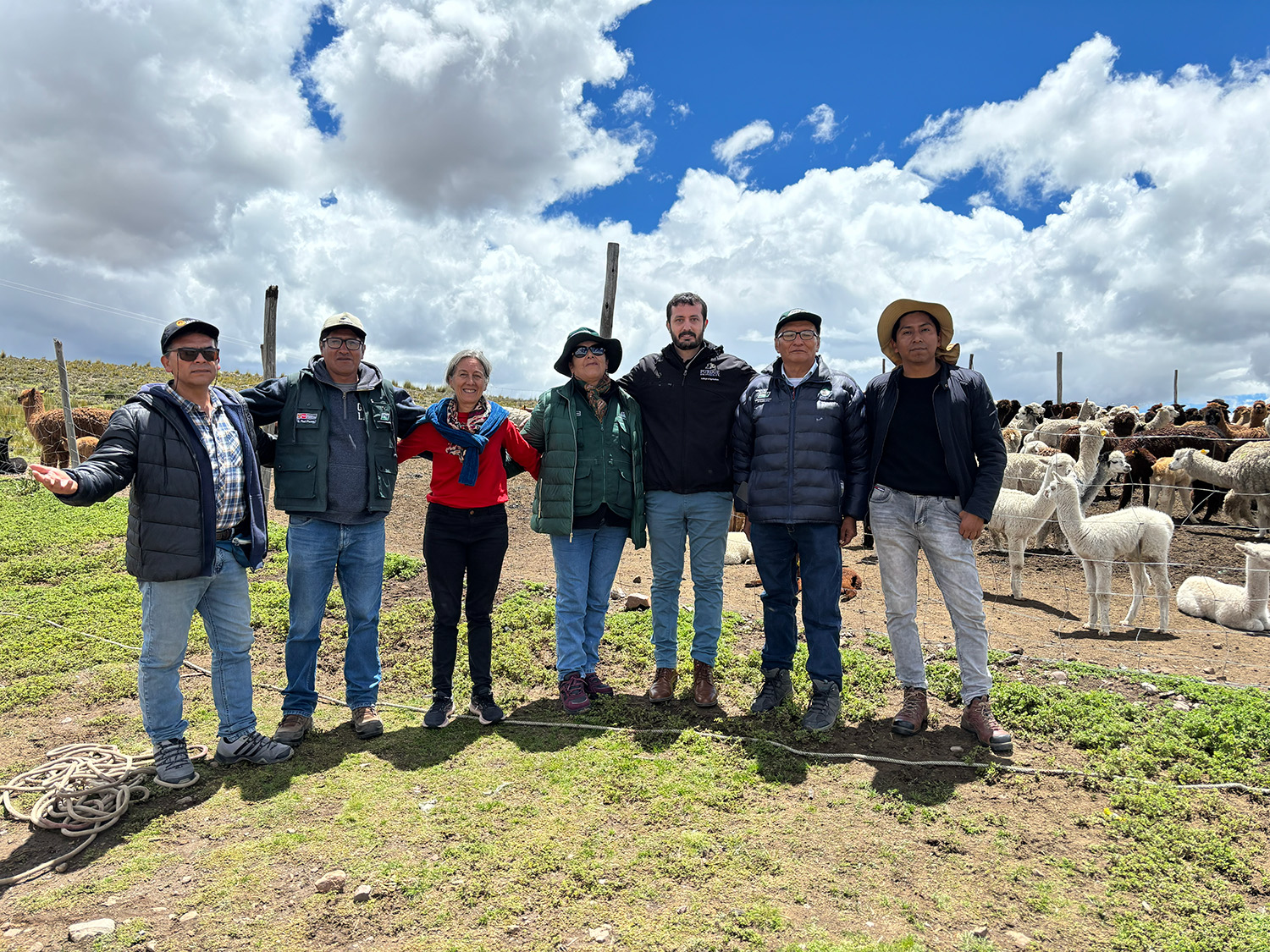
Global partnerships strengthen Purdue animal genetics research.