web app to help farmers streamline data
One of the challenges in fully utilizing data from cropping systems is integrating all of the assorted “layers” of data that should accompany yield data. Some of this is public (soil, topography, weather) and much is private (as applied maps, seed, chemical, fertilizer choices, costs, operators, machinery settings, etc.). One app is not going to solve this dilemma, but a step in the direction is the simple CONTxT app. Consider it a metadata app for fields. It gets its name from the definitions of “context” which include phrases such as:
- the situation within which something exists or happens and that can help explain it
- the circumstances that form the setting in terms of which it can be fully understood and assessed
- the set of circumstances or facts that surround a particular situation
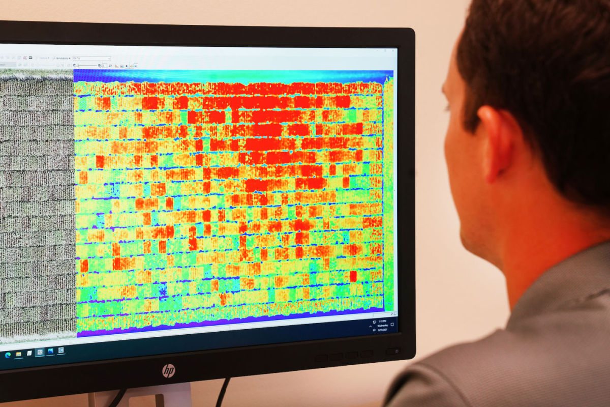
The primary purpose of CONTxT is to provide metadata about other data layers which might be UAV images, as applied seed or chemical files, yield data files, etc. This context (the full backstory of what happened here this year – maybe even longer term) is critical for record keeping, model building, artificial intelligence, and machine learning. By streamlining the collection of this data, we hope to move quicker and farther toward achieving the promise of data in agriculture.
CONTxT is a web app (run from an internet URL) that should be launched while you have connectivity (WIFI or cellular). Eventually it will cache data, but that is not implemented yet. You can save the icon on your home screen for convenience (rather than typing https://openatk.com/CONTxT each time to access it).
You must have a Google account because the metadata will be stored in a Google Sheet with images stored on your Google drive. This data is private to you; once you have it, you can decide if/when/how/who regarding sharing.
The app asks for location permission so it can auto-populate location which feeds the API to automatically fetch current weather data. The camera can be used when a picture is requested but you can also access an existing file on your device.
The flow of the app is with multiple (but each very simple) pages. Required data elements are indicated with an asterisk (*) and you will not be able to submit (save/upload) your metadata without providing those inputs. Once all required data elements are completed, you can submit. This results in a single line of metadata in a Google Sheet.
For more information, check the CONTxT Readme file here:
The full hyperlink is ; or you can click CONTxT to launch the app
You will notice in the Readme file that this is an open source effort. For those so inclined, feel free to access and contribute to the code via github; for others, realize your input toward improvement is welcomed.
