Skip to Main Content

Broadband Modeling Presentation

As part of the Open Ag Technology and Systems Center outreach and education, a few faculty, staff, and students gave presentations to the AgGateway community.  AgGateway is a global, non-profit organization whose members develop standards and other resources so that companies can rapidly access information. This leads to cost savings, improved inventory management and traceability, interoperability in field operations, and data leverage for sustainability and profitability. The OATS Center, with AgGateway collaboration, shared insights and approaches regarding digital connectivity and seamless information exchange.


Broadband modeling: In this YouTube video, Yaguang Zhang, a Ph.D. candidate in Electrical and Computer Engineering at Purdue University, addresses ”Large-scale cellular coverage analyses for UAV data relays”.  After some information about the motivation for higher data rates, this video includes an overview of channel modeling applied to a unique UAV data relay scenario. The wireless signal transmission model accounts for actual terrain. There are some very interesting blockage and coverage maps for the 10-county Wabash Heartland Innovation Network (WHIN) region as well as the state of Indiana. These show results with varied relay elevations and provide the upper bound for coverage gains with a data relay.

Digital Agriculture Posts
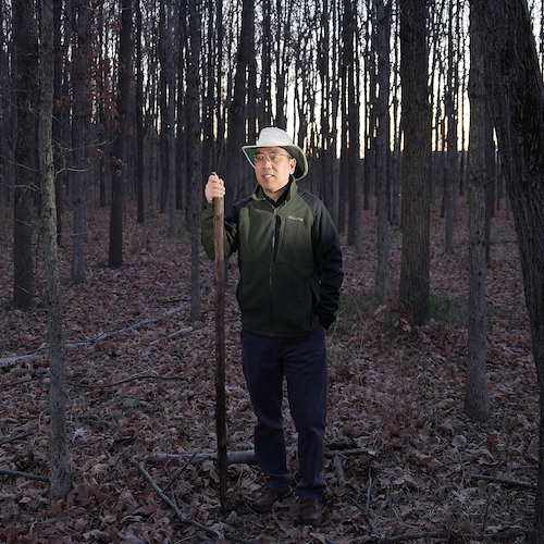
Close-up of Hunsoo Song in front of the pink blossoms of a crabapple tree
Hunsoo Song, the civil engineer who speaks (in algorithms) for the trees

Fire, metal, water, earth and wood. In South Korean tradition, these five elements explain...

Read More
Tomi Lori Ankita looking at tomato
Purdue-led TOMI project receives $3.5M grant to turn a decade of data into new tools and strategies for tomato farmers

Indiana ranks third in the nation for tomato production. Lori Hoagland, a professor in Purdue...

Read More
Purdue research team uses a computer on top of a drone to gather data
Purdue researchers acquire and analyze data through AI network that predicts maize yield

Artificial intelligence (AI) is the buzz phrase of 2024. Though far from that cultural spotlight,...

Read More
Siddhartho Paul and his students use a RTK GPS in a soybean field to get precise location information
Satellites and soils: NIFA and AgSEED grants fund remote sensing data collection and machine-learning models to predict soil properties at farm-to-landscape scales

The few inches of soil you pick up on the tip of your shovel are part of a much bigger picture....

Read More
uav data on a monitor
Data-Driven Seminar Series

Purdue College of Agriculture presents a seminar series featuring experts in data science,...
Read More
two students lean over a counter as the tinker on a remote controlled car together
Digital Ag Club’s Scarecrow-bot making its debut at Boiler Gold Rush

Thumping hind legs. Two pointed ears. White, fluffy cottontails. The markers of an enemy to...

Read More
To Top