

Where Are the City Trees? Monitoring Urban Trees across the U.S. Using Generative AI
Communications of the ACM: For years, conducting an urban tree inventory was a luxury only large, highly resourced cities could afford. A new AI-based approach not only brings this capability within reach to smaller cities but also requires significantly less time.

Trees play a critical role in urban environments today. Growth in U.S. cities9 has occurred alongside a rise in extreme weather conditions,8 driven by critical factors such as subpar air quality, excessive heat islands, and unmoderated rainwater overflow—all of which can be partially mitigated by urban trees.31 Trees can also improve urban residents’ physical and mental health and provide habitat for wildlife.8
Historically, only resource-rich U.S. cities have collected data about where their public trees are, usually through labor-intensive manual surveys or via coarse canopy-cover estimation. However, a significant portion of city trees are on private property, making them difficult to quantify with surveys, yet they contribute uniquely to species diversity and ecosystem service distribution.11 Further, canopy-cover estimation cannot provide information about tree density, locations of trees across different land types, or changes in tree counts. Cities are under continual change, and the mean mortality rate of urban trees is twice that of rural trees.30 Thus, frequent updating of tree analytics is critical for sustainable, habitable cities.
Key Insights
-
Urban trees are critically important to mitigate poor air quality, excessive heat islands, and unmoderated rainwater overflow, which collectively can lead to undesired extreme weather conditions.
-
The use of generative AI enables a novel computational approach to localize individual trees in all cities, despite their mutual occlusion and overlap.
-
A new monitoring approach facilitates updating a national-scale database of 278 million urban trees spanning 330 U.S. cities in under a day of computing.
-
Providing individual cities with the ability to frequently update their tree analytics is critical for planning sustainable, habitable cities.
To read the full article and list of numbered references view: Where Are the City Trees? Monitoring Urban Trees across the U.S. Using Generative AI – Communications of the ACM.
Featured Stories
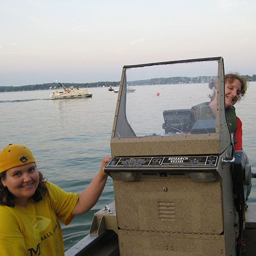
Carolyn Foley, a long-time member of the Purdue Forestry and Natural Resources (FNR) and...

Purdue University’s College of Agriculture recognized nine alumni at the Distinguished...
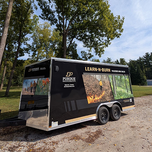
Keep your eyes peeled across Indiana for the newly minted Purdue Forestry and Natural Resources...
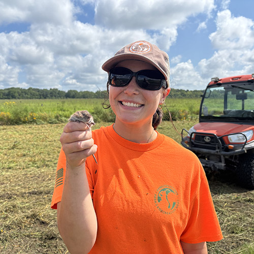
Senior wildlife major Madison Medley spent her summer as a natural resource intern with Hamilton...

Addy Ellis, a sophomore aquatic sciences and political science double major, spent the summer as...

Zachary Feiner, who earned his PhD from FNR in 2015 and spent two additional years in West...