Skip to Main Content

Purdue Center for Commercial Agriculture Crop Basis Tool

The Purdue Center for Commercial Agriculture Crop Basis Tool is an open-access web-based tool that provides grain industry participants with access to weekly historical and contemporaneous corn and soybean basis data for local market regions in the eastern Corn Belt. Previously unavailable to most producers in the region, the data housed by the Crop Basis Tool has the potential to greatly improve producers’ marketing risk management decisions through improved basis forecasts.

The Purdue Center for Commercial Agriculture Crop Basis Tool is an open-access web-based tool that provides grain industry participants with access to weekly historical and contemporaneous corn and soybean basis data for local market regions in the eastern Corn Belt. This information is critical to developing preharvest price expectations and evaluating marketing opportunities, such as forward contract bids, hedging opportunities, and storage opportunities. Therefore, the information provided by the Crop Basis Tool has the potential to improve producers’ marketing risk management decisions.

by Nathanael M. Thompson, James R. Mintert, and Christopher A. Hurt

Digital Agriculture Posts

Close-up of Hunsoo Song in front of the pink blossoms of a crabapple tree
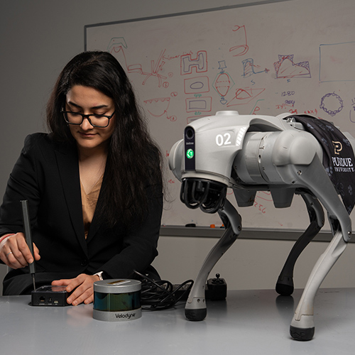
Hunsoo Song, the civil engineer who speaks (in algorithms) for the trees

Fire, metal, water, earth and wood. In South Korean tradition, these five elements explain...

Read More
Tomi Lori Ankita looking at tomato
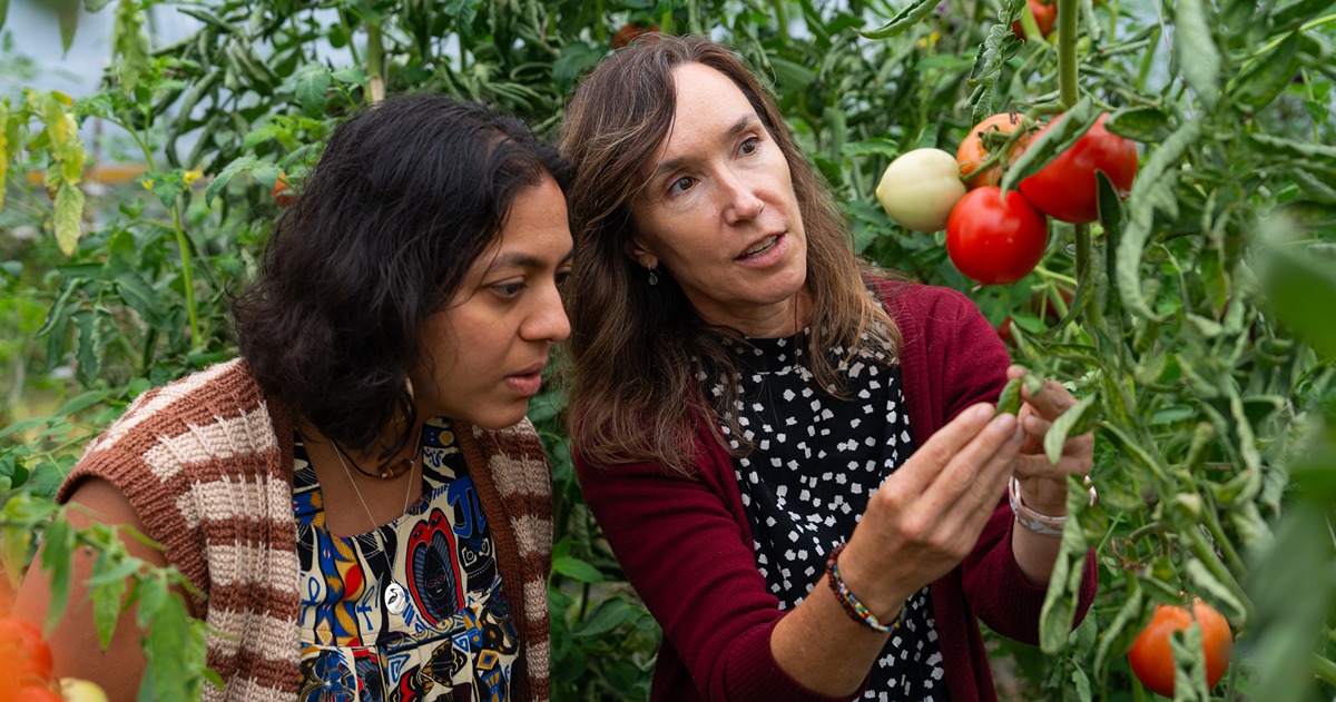
Purdue-led TOMI project receives $3.5M grant to turn a decade of data into new tools and strategies for tomato farmers

Indiana ranks third in the nation for tomato production. Lori Hoagland, a professor in Purdue...

Read More
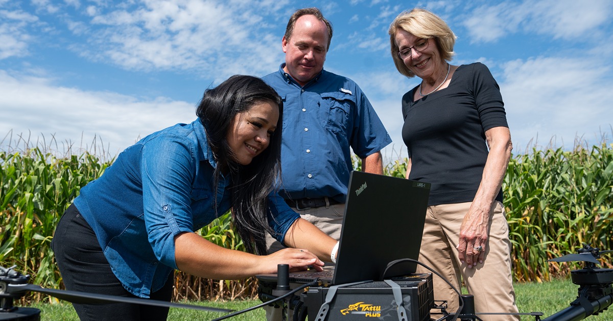
Purdue research team uses a computer on top of a drone to gather data
Purdue researchers acquire and analyze data through AI network that predicts maize yield

Artificial intelligence (AI) is the buzz phrase of 2024. Though far from that cultural spotlight,...

Read More
Siddhartho Paul and his students use a RTK GPS in a soybean field to get precise location information
Satellites and soils: NIFA and AgSEED grants fund remote sensing data collection and machine-learning models to predict soil properties at farm-to-landscape scales

The few inches of soil you pick up on the tip of your shovel are part of a much bigger picture....

Read More
uav data on a monitor
Data-Driven Seminar Series

Purdue College of Agriculture presents a seminar series featuring experts in data science,...

Read More
two students lean over a counter as the tinker on a remote controlled car together
Digital Ag Club’s Scarecrow-bot making its debut at Boiler Gold Rush

Thumping hind legs. Two pointed ears. White, fluffy cottontails. The markers of an enemy to...

Read More
To Top