

Broadband Modeling Presentation
As part of the Open Ag Technology and Systems Center outreach and education, a few faculty, staff, and students gave presentations to the AgGateway community. AgGateway is a global, non-profit organization whose members develop standards and other resources so that companies can rapidly access information. This leads to cost savings, improved inventory management and traceability, interoperability in field operations, and data leverage for sustainability and profitability. The OATS Center, with AgGateway collaboration, shared insights and approaches regarding digital connectivity and seamless information exchange.
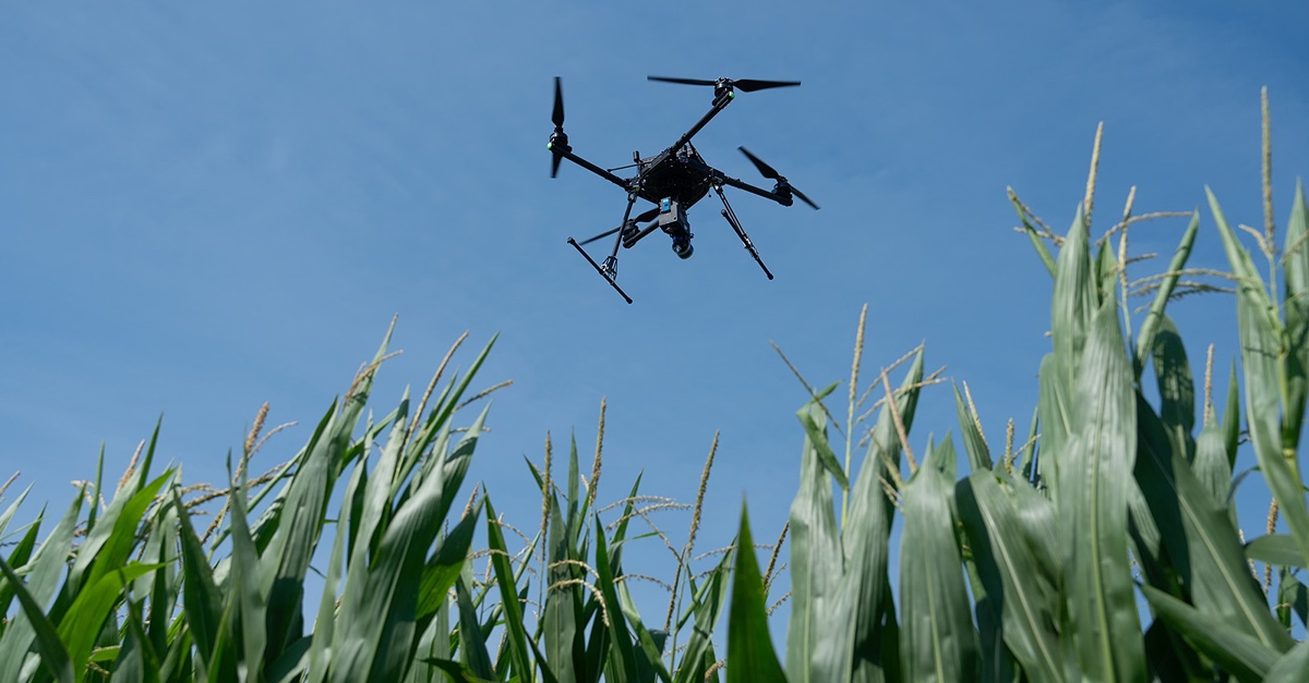
Broadband modeling: In this YouTube video, Yaguang Zhang, a Ph.D. candidate in Electrical and Computer Engineering at Purdue University, addresses ”Large-scale cellular coverage analyses for UAV data relays”. After some information about the motivation for higher data rates, this video includes an overview of channel modeling applied to a unique UAV data relay scenario. The wireless signal transmission model accounts for actual terrain. There are some very interesting blockage and coverage maps for the 10-county Wabash Heartland Innovation Network (WHIN) region as well as the state of Indiana. These show results with varied relay elevations and provide the upper bound for coverage gains with a data relay.
Digital Agriculture Posts
Even if you don’t know much about beef or dairy production, if you imagine a ranch or a...
On any given day in Indiana, you will find farmers checking weather apps before sunrise,...
Keeping records of events, transactions, and important activities can be simplified using digital...

Herd records (breeding, pregnancy checks, births, weaning, treatments, etc.) have value from...
Purdue Agriculture researchers are harnessing the power of artificial intelligence (AI) and...
Purdue University’s College of Agriculture recently welcomed Ignacio Ciampitti, an...