Skip to Main Content

Extension UAV Initiative Update

The Purdue University Cooperative Extension Service UAV (Unmanned Aerial Vehicle, aka drones) Initiative started in 2017 with Specialists conducting field-level research and expanded in 2018 with funding support from Dr. Jason Henderson to acquire UAVs for Educators across the state. The initial group was comprised of 17 Educators and has since grown to over 20 Educators and several Specialists.

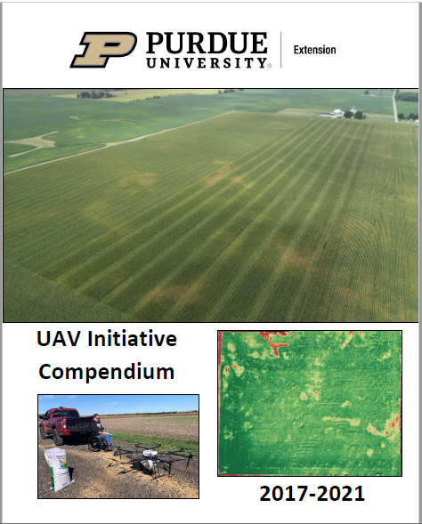
Download the Purdue Extension UAV Initiative Compendium 2017-2021.

Image of Cover of Purdue Extension UAV Initiative Compendium

This report covers UAV related work conducted throughout the state of Indiana. Much of our early work was related directly to corn and soybean production, with more recent strides into public safety, animal agriculture, natural resources, conservation, and new UAV technology application and evaluation.

This report contains 70 different case studies where using a UAV was integral to the project and provided value to our stakeholders throughout local Indiana communities. This work continues to provide value to Extension stakeholders and communities at large as new technology is adopted and new methods for UAV technology use are evaluated. This report is a summary of 5 years of work and complementary to the Purdue Extension UAV Website.

Digital Agriculture Posts

Field of corn with sun shining in background
Ignacio Ciampitti returns to Purdue as co-director of IDAAS and professor of agronomy

Purdue University’s College of Agriculture recently welcomed Ignacio Ciampitti, an...

Read More
Close-up of Hunsoo Song in front of the pink blossoms of a crabapple tree
Hunsoo Song, the civil engineer who speaks (in algorithms) for the trees

Fire, metal, water, earth and wood. In South Korean tradition, these five elements explain...

Read More
Tomi Lori Ankita looking at tomato
Purdue-led TOMI project receives $3.5M grant to turn a decade of data into new tools and strategies for tomato farmers

Indiana ranks third in the nation for tomato production. Lori Hoagland, a professor in Purdue...

Read More
Purdue research team uses a computer on top of a drone to gather data
Purdue researchers acquire and analyze data through AI network that predicts maize yield

Artificial intelligence (AI) is the buzz phrase of 2024. Though far from that cultural spotlight,...

Read More
Siddhartho Paul and his students use a RTK GPS in a soybean field to get precise location information
Satellites and soils: NIFA and AgSEED grants fund remote sensing data collection and machine-learning models to predict soil properties at farm-to-landscape scales

The few inches of soil you pick up on the tip of your shovel are part of a much bigger picture....

Read More
uav data on a monitor
Data-Driven Seminar Series

Purdue College of Agriculture presents a seminar series featuring experts in data science,...

Read More
To Top