Digital revolution inspires new research direction in ecosystem structural diversity
A special issue of the journal Frontiers in Ecology and the Environment lays the foundation for pursuing structural diversity as a new research direction in ecology. The issue, funded by the National Science Foundation, also describes the digital data collection methods that enable the new research direction, and the applications of the work in various ecosystems.
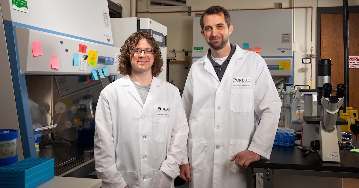
“Structural diversity is thinking about what elements occupy a space and how they have been arranged in the space,” said the special issue’s lead editor, Songlin Fei, a professor of forestry and natural resources and the Dean’s Chair of Remote Sensing at Purdue. “The hope is that we’re providing a framework that can be applied regardless of the system that you’re working in, from terrestrial to aquatic.”
As Fei and three co-editors wrote in their overview, the special issue’s contributions “provide a new framework for structural diversity, new applications to ecological theory, and case studies.”
The co-editors were Purdue’s Brady Hardiman, associate professor of urban ecology in Purdue’s Department of Forestry and Natural Resources; Elizabeth LaRue, assistant professor of biological sciences at the University of Texas at El Paso; and Kyla Dahlin, associate professor of geography, environment and spatial sciences at Michigan State University.
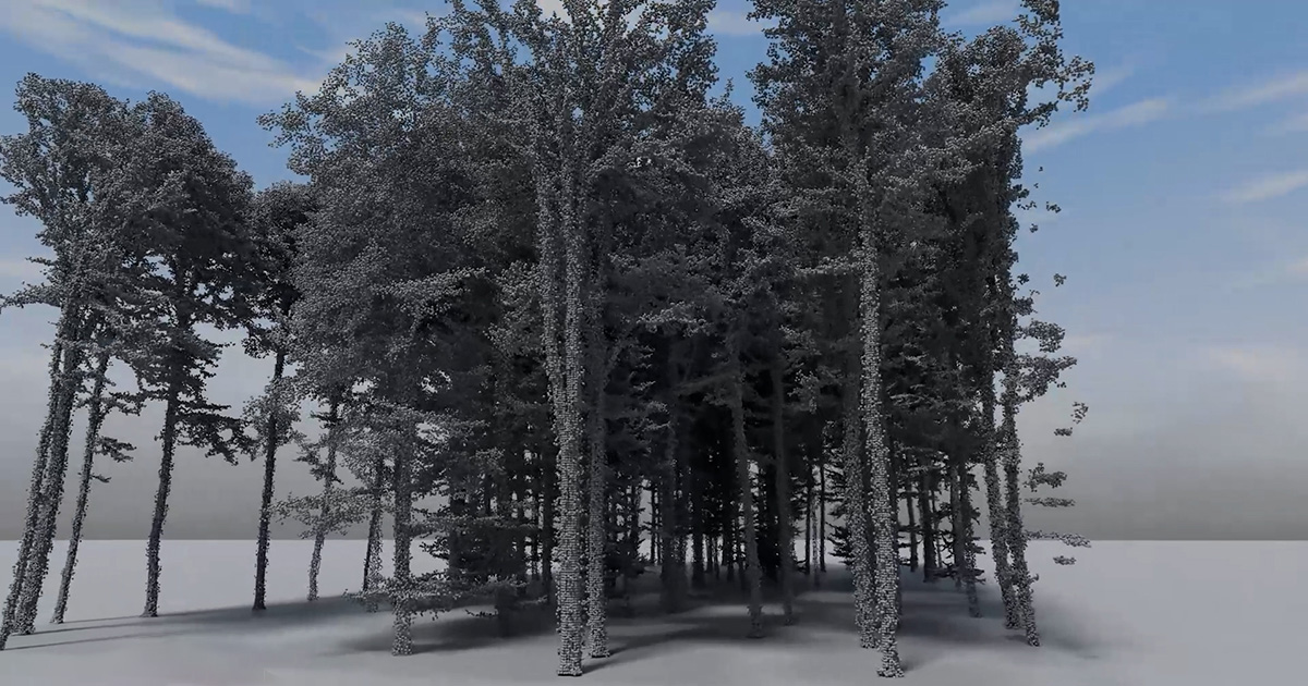
Six of the seven lead authors in the special issue are early-career scientists who are developing applications for the 3D technologies that could result in new ecological theories. These technologies include light detection and ranging (lidar), and data sensors mounted on drones and satellites.
“Adopting these emerging digital tools and technologies will enable the next generation of ecologists to gracefully operate a fleet of sensors to measure ecosystems and swim freely in the resulting ocean of data,” the editors wrote.
Such methods form the basis of Purdue’s new Center for Digital Forestry, which Fei directs. As one of the five strategic investments in Purdue’s Next Moves, the center leverages digital technology and multidisciplinary expertise to measure, monitor and manage urban and rural forests to maximize social, economic and ecological benefits.
“In the past, as scientists we measured the Earth as a flat entity,” said LaRue, a former postdoctoral researcher mentored by Fei and Hardiman. “That’s in part because we didn’t have good technology to measure 3D aspects of the planet.”
Those aspects include elevation differences and fine-scale features such as the branching patterns of trees. Previously, researchers had to make such measurements by hand.
“The technology is rapidly advancing. We need to catch up on the science and the theory that are being enabled by these 3D technologies,” she said.
The special issue notes that despite key work already started in forestry, more needs to be done in ecosystem types like wetlands, grasslands and marine ecosystems.
“Our knowledge is still quite limited about structural diversity in different ecosystem types,” LaRue said.
Traditionally, scientists have sought to measure biodiversity by counting species and assessing their genetic diversity.
“These existing measures come back to this basic question: How much of the available ecological space has been occupied by different organisms?” Hardiman said. “The more ecological space that has been occupied by different species, the more stable the system might be, because missing one species would not cause the collapse of the system.”
But with the new 3D digital technologies, researchers can now quickly determine the layered arrangement of species within an environment, along with their size and number. Such capabilities benefit land managers as well as researchers. Managers now can often collect higher-quality data much faster and at less expense to help their decision-making. Sometimes they can simply use a cellphone app to make measurements that previously required a tape measure.
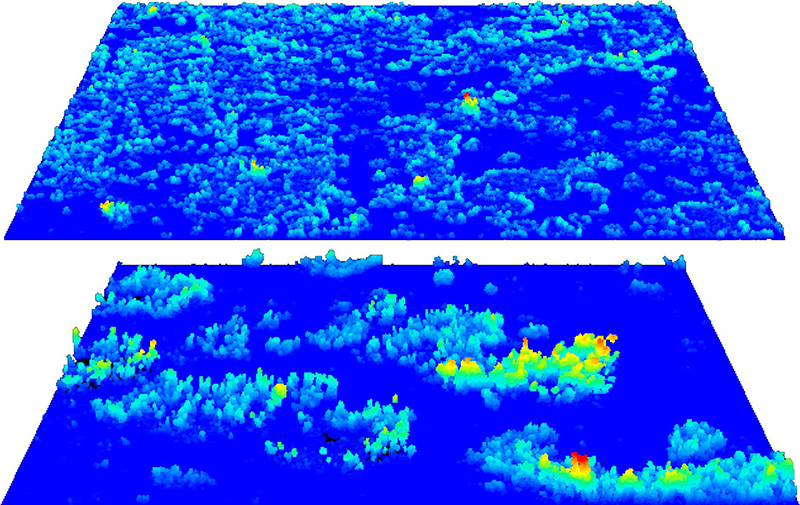 These images contain 3D data collected by drone-mounted sensors. The images compare structural diversity in a native grassland (top) with an area invaded by shrubs after cattle grazing (bottom) in the Jornada Experimental Range of southern New Mexico. The invaded area shows higher structural diversity. (Photo courtesy of Elizabeth LaRue/University of Texas at El Paso)
 The editors and authors of the special issue highlight four challenges that researchers need to address to realize the full potential of such digital advances in ecology.
The first challenge is for ecologists and environmental scientists to collaborate more extensively with colleagues in other specialties. The needed expertise ranges from aviation technology, engineering and computer science to graphic design, information science and the social sciences.
The second challenge is to apply supercomputers, cloud computing, machine learning and artificial intelligence to process the massive 3D data sets that digital technology now generates.
“A lot of the data we work with is publicly accessible and available,” Fei said. But researchers sometimes lack the expertise to take advantage of it. “They don’t have the computational capacity or the right tools to handle it,” he said.
The third challenge is to adopt new approaches to better assess the hundreds of variables in ecosystem structure that 3D data sets now often present. Instead of depending on traditional hypothesis testing, the editorial team recommended that researchers should take data-driven approaches or combine the two.
And finally, the editors emphasized the critical importance of training the next generation of ecologists in digital technology.
“New data-oriented skills such as acquisition, visualization, analysis, and management of large datasets must become essential parts of ecological training,” they wrote.

