

New Research Grant Aims to Map Planted Forests in China
Since 1990, more than 1.3 million square kilometers (501,932 square miles) of forests have been lost worldwide. This deforestation coupled with extensive forest degradation impacts global ecosystem functioning, climate change mitigation efforts and the conservation of biodiversity.
China, the world leader in afforestation, has planted approximately 71 million hectares of trees, nearly 24 percent of the 294 million hectares planted worldwide in efforts to reforest the planet. However, little is known about the dominant tree species in these planted forests or the amount of carbon stored in them.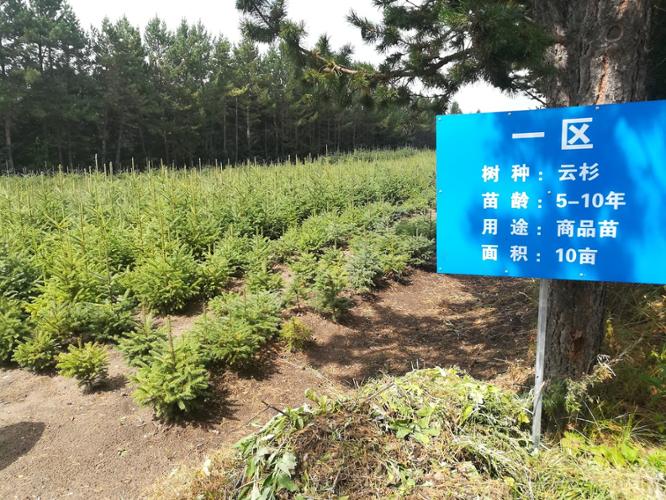
Jingjing Liang, assistant professor of quantitative forest ecology and co-founder of the Global Forest Biodiversity Initiative (GFBI) and the Forest Advanced Computing and Artificial Intelligence Lab (FACAI), is aiming to improve the accuracy of the current map of planted forests in China and fill in the gaps about the dominant species, while quantifying the carbon storage through a new grant “Mapping Planted Forests in China,” funded by the World Resources Institute.
“This study will help us better understand the benefits of, and lessons from, China’s massive tree plantation projects,” Liang said. “Learning from previous reforestation projects in China and other countries will be critical for ongoing and future reforestation projects around the world. This project can help our stakeholders maximize the ecological and socioeconomic values of planted forests.”
The study is especially timely given that several countries, including the United States, have joined the World Economic Forum’s One Trillion Trees Initiative, an ambitious global effort to grow and conserve one trillion trees worldwide by 2030.
Liang and his team are taking the first step towards achieving the study’s goals by training the state-of-the-art machine learning models to pinpoint actual locations of planted forests in China, based on ground-sourced and remote sensing data.
The World Resources Institute has developed the Spatial Database of Planted Trees, but the locations of a number of planted forests in China remain unquantified. Liang and his team look to improve the existing database by compiling locally sourced planted forest records from China and neighboring countries and integrating them with high resolution 3-D tree canopy and structure and forest attributes found in the 2020 Global Ecosystem Dynamics Investigation data. By developing a machine learning model system for planted forests, they hope to more accurately identify planted forests in China.
Further, by compiling and integrating individual tree data from all of the regional forest inventory data sets in China, researchers will create a standardized GFBI data frame to support mapping the dominant species of planted forests. The GFBI data and high-resolution global carbon/biomass estimates also will help quantify the carbon storage of the planted forests.
“Typical of the FACAI Lab’s research portfolio, this study takes advantage of big data and artificial intelligence tools to address a fundamental ecological and socioeconomic question – what are the benefits of planting trees?” Liang said. “This study will equip us to better reforest the Earth in the future, based on what has been done in the past.”
Liang’s research team includes two PhD students from the FACAI Lab, Akane Abbasi and Ankita Mitra, and an international team of collaborators from Brazil, China, Ecuador, Japan, South Korea and the Netherlands.
Featured Stories
Several Forestry and Natural Resources students, staff and recent alumni have been recognized for...
A plume of contamination spreads underground. A building's foundation weakens. A wetland...
Jarred Brooke, Extension wildlife specialist, was honored with a Career Achievement Award at the...
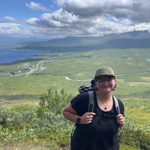
Sophomore forestry major Brett Cox recaps week 2 of the Sustainable Natural Resources study...

Morgan Hamilton, a rising senior majoring in aquatic sciences, has had an...
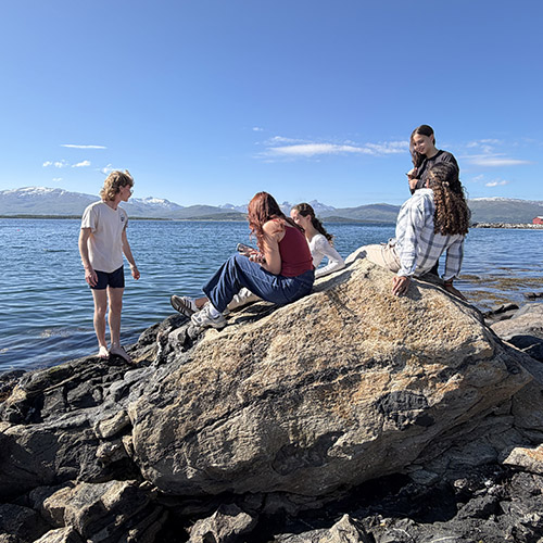
Throughout the 2026 Sustainable Natural Resources study abroad course in Sweden...